
Home首頁首页 · Memoirs回憶錄回忆录 · 羈旅雁鳴
Part 6 of 8第 6 部分,共 8 部分
Volume 3: Far Away, Yet Next Door, essay 8下集:天涯若比鄰,第 8 篇下集:天涯若比鄰,第 8 篇
簡介中原為英文的部分由 AI(Claude)於 2026 年 11 月譯成中文,尚未經作者審閱。
三冊原 PDF 共有 81 個字因字型缺字而無法顯示,本頁已依上下文補上,或有出入。
第8篇:北美五大湖
遊記
2018年8月底,我與妻前往底特律,探望服務於福特汽車公司總部的小兒Anderson。每逢週末假日得地利之便,遊歴了美加兩國一些沿五大湖都市,包括芝加哥及多倫多。
2019年11月,再次去底特律,又去了克里夫蘭及沿湖一些城鎮景點,15個月內分兩階段,完成了遊覽北美五大湖的心願。
五大湖按面積大小順序分別是蘇必略湖、休倫湖、密西根湖、伊利湖及安大略湖。遍及美國八個州,紐約、賓夕凡尼亞、俄亥俄、密西根、印地安納、伊利諾、威斯康辛、明尼蘇達,以及加拿大的魁北克、安大略兩省。(1)
五大湖中的蘇必略湖,面積8萬2千平方公里,是世界第二大湖,僅次於裏海,也是世界第一大淡水湖,比中國第一大淡水湖鄱陽湖大21倍。
五大湖是貫通的,狹窄處由大河相連,湖面落差大的兩處由運河連接。一在紐約州的水牛城,由安大略湖通往伊利湖,落差182米,形成尼加拉瀑布奇觀。另一處在密西根州蘇聖瑪麗城,由休倫湖西行63公里,爬高176米至蘇必略湖,由Soo Locks運河相連,形成200公尺長20公尺高的平面瀑布。
五大湖的安大略湖,經由加拿大境內的聖羅倫斯河出海,流入大西洋。(2)
2012年3月1日,小兒Anderson接任福特汽車公司新職,入住底特律Riverfront Towers高樓公寓。
公寓位於底特律河河濱公園,眺望對岸加拿大溫莎公爵市(Windsor)近在咫尺。我與妻在此短暫住了一個月。
底特律河是伊利湖北上休倫湖的通道,全長51公里,最大河寛986公尺,萬噸以上巨型貨櫃輪,頻頻穿梭河中。入夜後的河面以及美加兩岸,高樓林立,燈光絢爛,景色宜人。
入住後的第一個週末,我們驅車前往底特律河河口風景區遊覽,首次看見浩瀚的伊利湖,有如大海一般。
伊利湖是五大湖中的第四大湖,面積2萬5千7百平方公里,水體體積480立方公里,海拔571呎,最大深度210呎。沿岸的著名都市有紐約州的水牛城,賓州的伊利市,俄亥俄州的克里夫蘭,密西根州的底特律。(3)
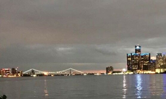
我與妻再度回到底特律,是在2018年8月,距離首次時隔六年。其間,Anderson至上海「福特汽車亞太總部」服務三年。
【加拿大多倫多】
2018年8月31日星期五,Anderson提早兩小時下班,回到位於底特律都會區南田市(Southfield)家中,一座28層樓的大廈公寓,與父母親會合,趕撘下午5時45分,由加拿大溫莎市前往多倫多的高鐵列車,展開嚮往多時的北美洲五大湖之旅首站安大略湖(Lake Ontario)北岸的多倫多市(Toronto)。
安大略湖是五大湖中最小的一個,面積1萬9千平方公里,加拿大境內的多倫多市,與美國境內的水牛城相距不到40公里。(4)
底特律與溫莎市位居底特律河東西兩岸,河寛最窄處僅672公尺,由一條跨河大橋及一座河底隧道相連,我們選擇由隧道前往。
底特律溫莎隧道(Detroit-Windsor Tunney)是全球唯一跨國河底隧道,雙向車道,車行舒適平穩,光亮如同白晝,年度流量900萬輛次。1928年由美加兩國建築,1930年11月完成,時經兩年四個月,同月開放行駛。
溫莎市是加拿大最南端都市,鐵公路交通樞紐,製造業、旅遊業及汽車工業中心,擁有悠久的歷史和多元文化。
我們通過加拿大移民局,順利進入市區,在觀光局取得一些加拿大相關資料,作為旅遊參考。在中央車站停妥福特SUV駕車,走入月台搭上前往多倫多的列車。(5)
加拿大的鐵路有兩大系統,一是太平洋鐵路,一是加拿大國家鐵路。我們搭乘的是國家鐵路溫莎市至多倫多這一段,路經London及Hamilton兩大都市,通過安大略省東南平原,全長372公里,車行時速約65英里,需時3小時45分鐘。
前半小時,列車沿著伊利湖中的湖中之湖(Lake St.Clair,聖克利爾湖)行進,沿途農舍鱗次櫛比,樹林果園鄉間小路隨處可見,花木扶疏美景如畫。隨後所見,是一望無垠的小麥田。
小麥是加拿大的主要農產品,品質媲美美國,安大略省是最大産地。分春麥及秋麥兩種,實施輪耕。春麥秋初收獲,秋麥夏末播種。
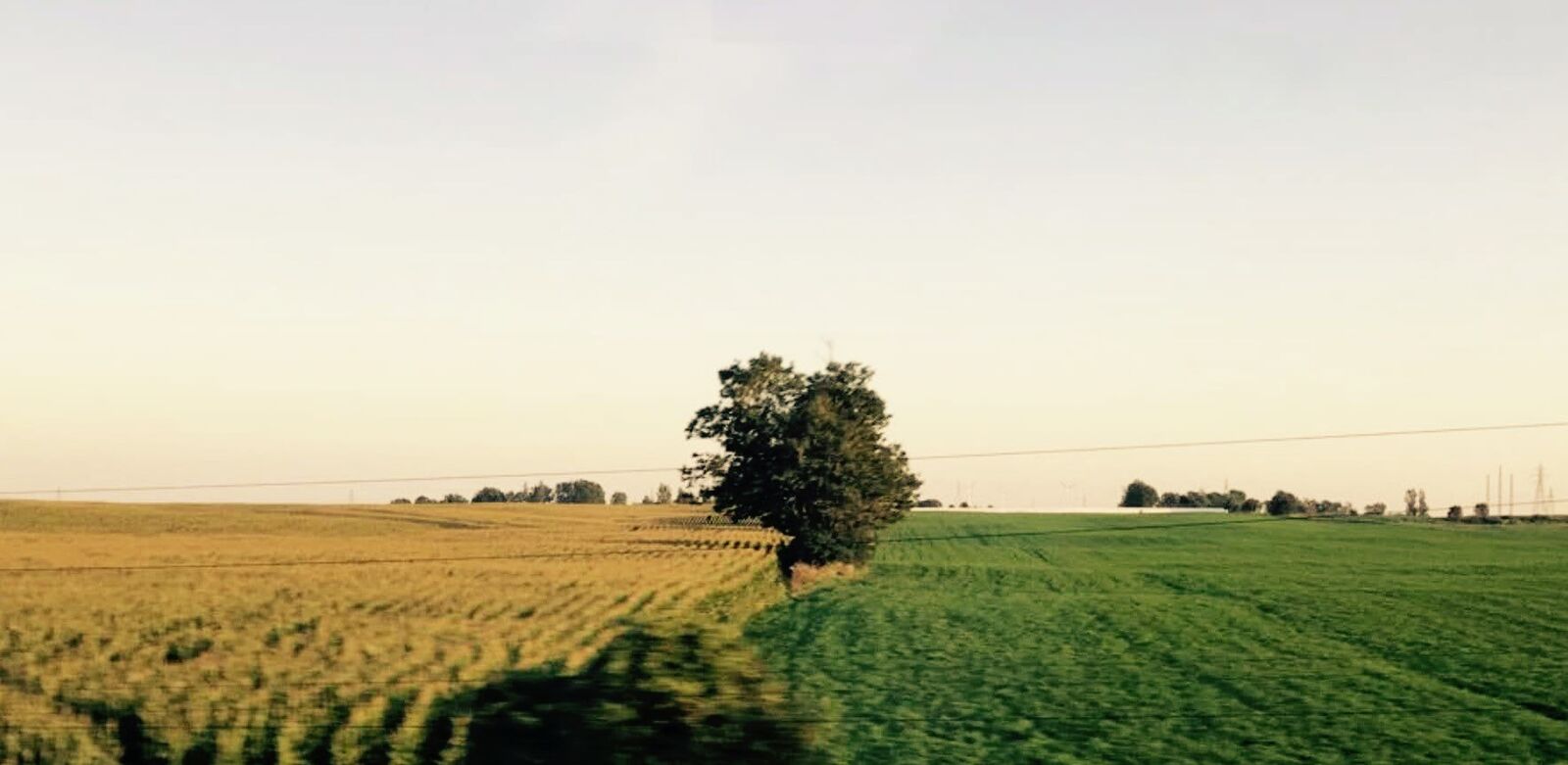
Anderson是攝影愛好者,眼明手快,在列車行進中撲捉到一張珍貴的照片。大平原裡,一邊是收成後的麥田,一片金黃。另一邊是青翠的麥苗,一片蔥綠。中間還有一棵大樹,涇渭分明,隱約可見遠方的農舍,畫面凸顯出大地萬物世代交替孳生不息。
此景此情,我哼了一首1788年英國詩人洛伯特伯恩斯(Robert Burns 1759-1796)作曲譜詞的蘇格蘭民謠《當我走過麥堆》,Anderson居然會完整的,將原曲唱了出來。歌詞中譯是:如果是我遇見了你,閒行過麥堆。如果你求我親吻,要不要逃避。雙雙情侶相依相偎,人說我不解。許多年少含笑追陪,當我走過麥堆。
晚間9時15分,列車駛進多倫多中央車站,又是另一番高樓林立,車水馬龍的都市景色。(6)
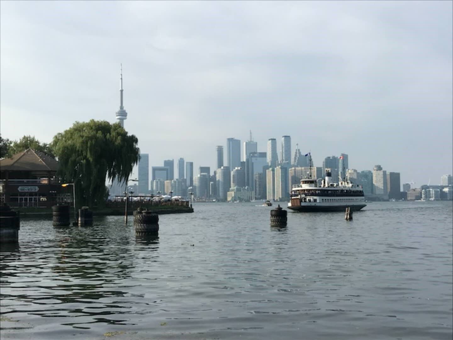
多倫多是安大略省的首府,也是加拿大第一大城,位於安大略湖西北岸,面積630平方公里,湖岸線46公里,緯度與波士頓相當,2011年人口普查時已達261萬人。
多倫多的名字,來自印地安語,意思是「相遇的地方」,據說兩支印地安部落,由東西兩岸向內陸發展,在此相遇。原是一個荒涼的谷地,開拓者保留其天然壯麗的山湖地形,18世紀以來配合著人工的建築和現代化的設施,努力建設成加拿大的首善之都。上世紀八十年代,還是加拿大第二大城,僅次於魁北克省的蒙特婁市。
多倫多地域遼闊,面對煙波浩瀚的安大略湖,市容整潔花木扶疏,家家戶戶種花養花,全市大小公園有十餘處,令遊人留連忘返。
我們在多倫多停留兩天兩夜,二十餘處景點不能逐一遊覽,擇其二三必遊之處,作深度之旅。(7)
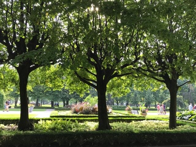
我們下榻的飯店近多倫多大學,位居皇后公園及中國城的中央位置。用完飯店提供的早餐後,首個出遊的景點就是皇后公園。
1860年英國威爾士親王愛德華,為其母親維多利亞建築了這座北美洲第一個市立公園,當年9月11日開放,佔地0.69平方公里,園內有大面積的草地和高聳的森林,種植四季分明的不同花卉,更是賞楓的好去處。步道縱橫其中,寵物可隨主人同行。愛德華七世的雕像莊嚴威武,是園中的聚焦之地,吸引許多遊客攝影。
隨後我們步入多倫多大學校園,面積有半平方公里,創建於1827年,是加拿大排名第一的大學,世界排名在20名之內。學術研究鼎盛,是一所世界著名的科研大學,發表的科研論文僅次於美國哈佛大學。
中午在中國城用餐,這裡的唐人街建成於1900年,晚於溫哥華,以美食聞名,頗富盛名的皇后魚湯米線煲粥,既綿又香又滑,可謂人間美味。餐後,趕往碼頭搭乘渡輪至安大略湖中的湖心島公園(Centreville Amusement Park)遊覽。(8)
我們由傑克雷敦渡輪碼頭(Jack Layton Ferry Terminal)搭船前往南方三個離島中的中央大島(Centre Island),作一次午後遊。中央大島就是一個大型花園,名為Centreville Amusement Park(森特維爾喜悅公園),面積約兩平方公里,是安大略湖中的一顆珍珠。公園處處樹木林立,鳥語花香。步道四通八達,連結小河木橋沙灘。餐廳、咖啡座、禮品店集中管理,分散碼頭兩側,整齊清潔井然有序。不分平日假期,遊客川流不息。
數處大草坪四季維持綠色,遊客席地而坐,遊戲野餐,歌舞齊歡。高聳的榆樹、欅樹、銀楓、鐵杉,圍繞草坪而植,北美黃鶯、紅雀棲息其上,鳴聲動聽悅耳。步道兩旁花圃,種植玫瑰、海棠、鳶尾、藍星、野薑花,花香四溢。等距離設置木質長型背椅,供遊客歇息。
有一人工蓄水湖,約五公頃,四週黑柳、紅楓、沙木成蔭,環頸潛鴨結隊湖邊戲水。如此湖中有島,島中有湖的美景,還是首次遇見,讓人流連忘返。(9)
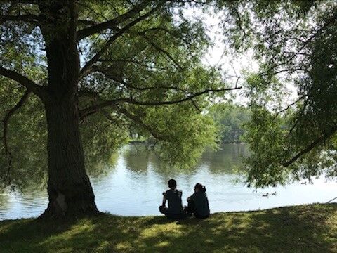
進入九月的多倫多,白露之前處暑之後,陽光沒有盛夏的熾熱,卻有初秋的暖和。我們穿過花叢走過樹林,來到南岸的Centreville Island Beach長約200公尺的沙灘,一輪夕陽晚霞滿天。
湖鷗盤旋藍天,眼明身㨗俯衝湖面,瞬間魚兒入口,時而繞飛遊客,時而佇立礁石。
遠方的貨輪,在落日餘暉下,緩緩入港。回首北望花木夾道,南觀湖面波光粼粼,兩景相眏互成美景,身處其中氣爽神清。
在湖風吹拂下,搭上回航渡輪,回望湖中之島,霞雲飄浮,恍如幻境,更添無限詩情畫意。(10)


多倫多的夜生活豐富多彩,酒吧、夜店、MTV、歌廳、舞廳、俱樂部、夜總會多達30餘處,媲美紐約,更甚溫哥華、蒙特婁。
旅館推薦一家頗富盛名的夜店,名為Toronto Urban Adventures (多倫多市區探險),去體驗一回豐富多元,值得回味的啤酒行程。
室內設計既雅典又現代,觀光客來自世界各地,除圍坐吧台外,另設舒適桌椅,任君選擇。
店內提供加拿大Molson Canadian系列啤酒,也有世界各國名貴紅酒、威士忌,還有茅台、五糧液。顧客各取所好,開懷暢飲。並有歌星駐唱,也可入池起舞,相得益彰歌舞並起,我們不虛此行。(11)
2018年9月2日星期日,多倫多行程中的第三天,上午到加拿大國家電視塔參觀,下午回底特律。
CN Tower加拿大國家電視台,位於多倫多市南,濱安大略湖西北岸,是多倫多市最高的建築物,高553米,次於634米的東京天空樹電視塔及600米的廣州電視塔,位居世界第三,比較第五名的上海東方明珠電視塔高85米,也高於台北101大樓45米。
台北101大樓兼具商業、金融、觀光功能,屬高樓建築。電視塔在於發射傳播,天線越高越好,設於城市中心最高點。
加拿大國家電視塔落成於1976年,每年吸收200萬以上人次參觀。我們排隊等候了一個多小時,才進場登塔。塔內有八部電梯,輸送旅客至各層樓。距離地面351米的360度旋轉餐廳觀景台,最有看點,坐於固定位置,遠眺近觀多倫多全景,盡收眼底,旋轉一周須72分鐘。
觀景台設置玻璃走廊,距離地面342米,俯瞰地面,如臨深淵戰戰兢兢。如要順利通過,必須鼓足勇氣,見一中年婦女與女爬行而過,驚叫連連,四周旅客為其鼓勵加油,好不容易到達終點。
觀景台上俯看聯合車站,有列車緩緩離站,下午我們結束多倫多之旅。列車再次通過麥堆,又見安大略湖湖邊的樹林農舍、小橋流水,在晚霞的照耀下,讓人迴盪沉思。(12)
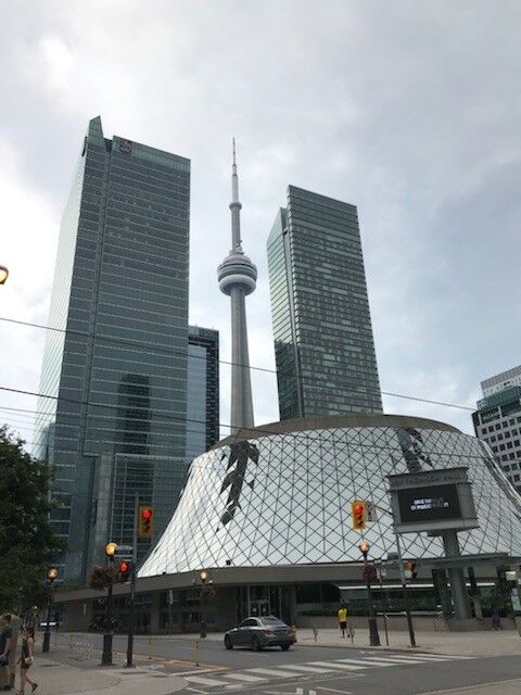
小學時上常識課,中國地圖像一葉秋海棠,台灣像芭蕉葉。打開美國地圖看密西根州,像一隻面向自己的右掌心,大姆指右下方位置是底特律。大姆指與食指間是塞格洛灣(Saginaw Bay),屬休倫湖的一個內灣。掌面左方是密西根湖,與威斯康辛州為鄰。密西根湖西南端,是伊利諾州的芝加哥。
密西根湖面積5萬8千平方公里,蓄水量4千9百立方公里,在五大湖中是唯一全境在美國國內的湖。最大深度923英尺,次於蘇必略湖的1千332英尺。
【荷蘭小鎮】
9月8日星期六,我們起了一個大早,上午七時由Anderson駕車,出底特律城向西行,至密西根湖湖濱小鎮Holland,稍作停留後沿湖南下至芝加哥。
Holland位於密西根湖東南,是環湖105個鄉鎮之一,是觀光景點,進入小城恍如到了荷蘭。(13)
17世紀的荷蘭是海上強權國家,1648年脫離西班牙統治,獨立為「尼德蘭共和國」,勢力範圍已到達加勒比海。
美國獨立戰爭前,已有荷蘭人到達新大陸,大部分落戶加拿大東岸,另有一部分順安大略湖、伊利湖,穿越密西根平原,在密西根湖東南岸,從Grand Haven到South Haven,面積約500平方公里處定居下來。
經過近百年的經營建設,於1847年成為密西根州的一個行政區,命名為Holland,與其在歐洲的母國所在地名稱相同。(14)
人口只有3萬7千人(2018年),面積不足1平方公里的Holland,卻是美國最具荷蘭特色的小鎮。
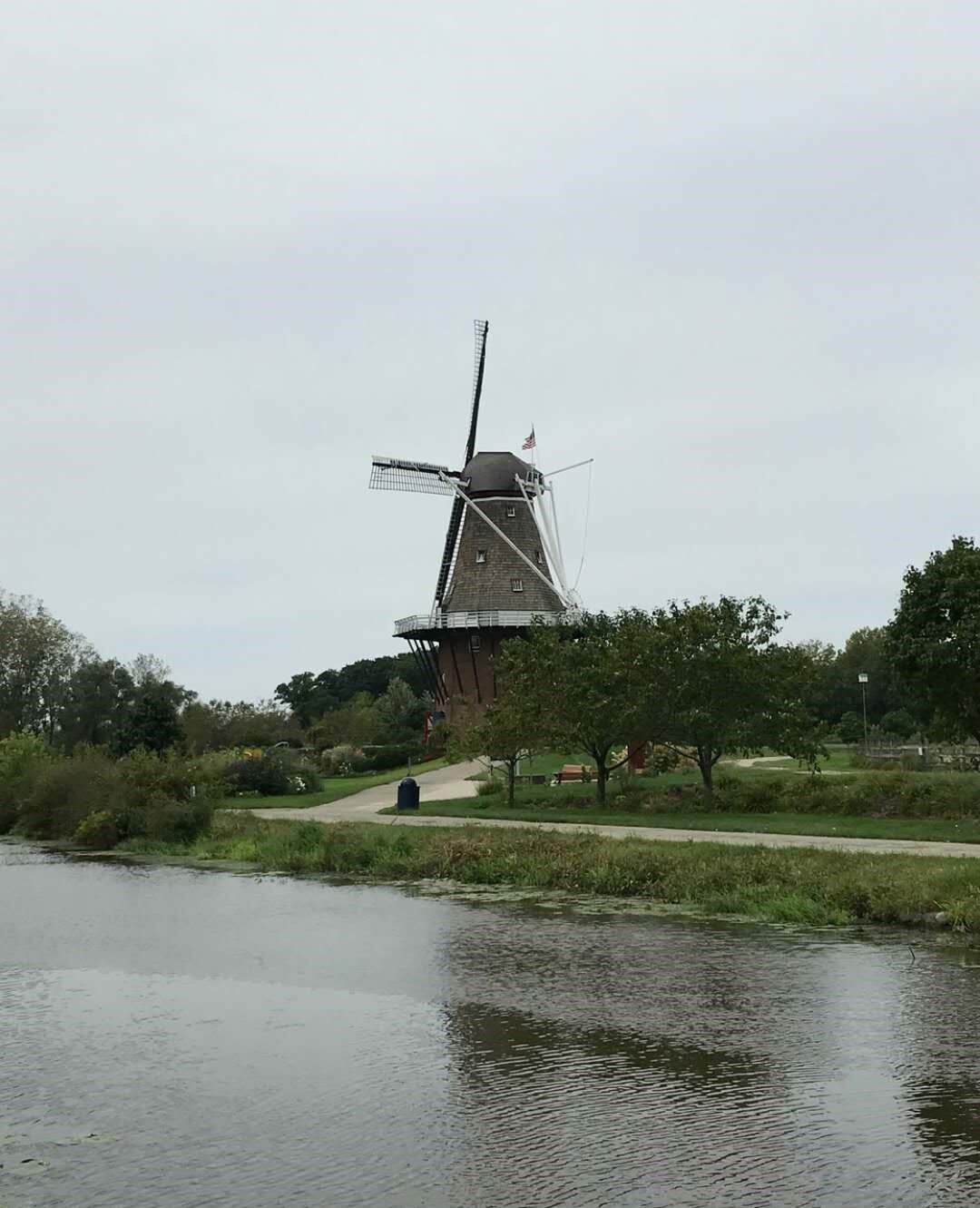
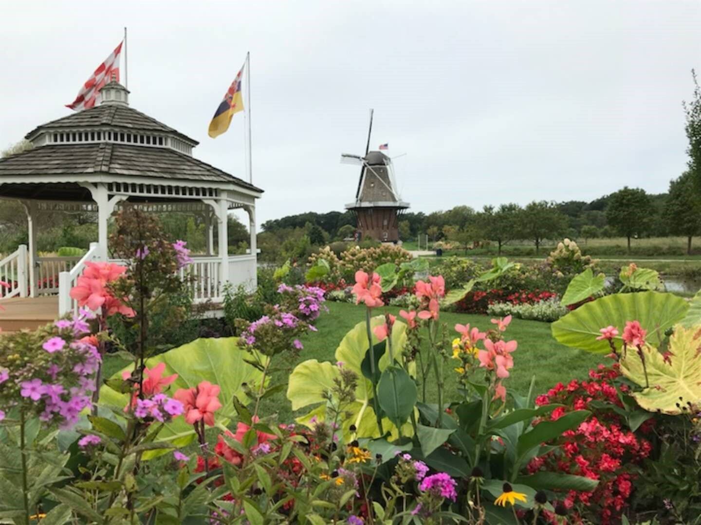
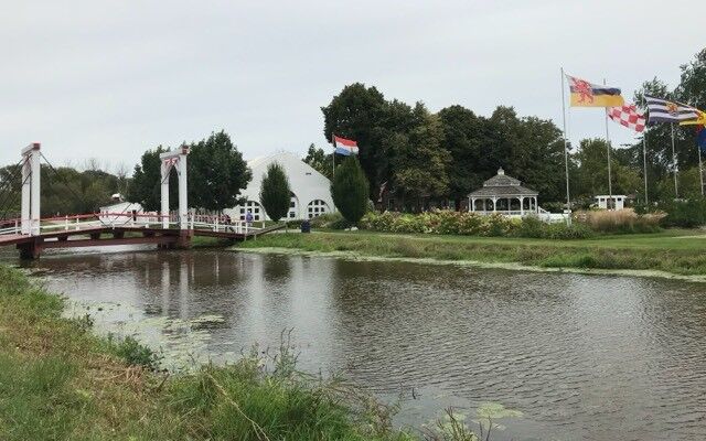
鎮內的風車島花園(Windmill Island Gardens)佔小鎮面積五分之一,面對密西根湖,有如歐洲母國境內的愛塞湖(Ijssel Meer Lake)。花園環繞一條河川而建,河川通往密西根湖,有如阿姆斯特丹郊區的運河。
園內步道平坦,通往16處景點,路旁碧草如茵花香四溢,鳶尾、風信子、三色堇、雛菊絢麗多彩生機勃勃。
每年五月舉辦鬱金香節(Tulip Festival),花期長達四週,花苗來自母國的庫肯霍夫花園(Keukenhof)。花展期間園外傳統市集配合節日,表演母女成對的正宗荷蘭舞,荷蘭美食供應無缺,被《讀者文摘》評為最佳小鎮節目。
我們在花園西側商業街,參觀了荷蘭純手工藝品店,並在一家餐廳內享用了正宗的荷蘭Kibbeling(一種取材於密西根湖內的梭鱸炸魚)、焦糖煎餅、炸牛肉泥丸,並且品嚐了數種荷蘭乳酪,及乳酪蛋糕。
餐後我們駛往伊利諾州第一大城芝加哥,回望荷蘭小鎮,我們唱起鄧麗君的那首歌《小城故事》。「小城故事多,充滿喜和樂。若是你到小城來,收獲特別多。」。(15)
我們順著196號州際公路沿密西根湖走,轉94號州際公路,經印地安納州到達芝加哥。一路穿越平疇沃野、樹林農莊,遠眺湖景美不勝收。
芝加哥位於伊利諾州東北,密西根湖西南岸,面積約600平方公里,人口271萬(2010年全國人口普查)是僅次於紐約(817萬)、洛杉磯(379萬),美國的第三大城市。
芝加哥在南北戰爭結束時(1865年)人口已超過30萬,已經具備一個現代化都市的規模,因有廣大的腹地,又是由東向西開拓的中點站,就成了公路和鐵路的中心。芝加哥也是美國鋼鐵工業中心,穀類交易重鎮,冷凍肉類集中地。
在歴史上,芝加哥城曾經受過兩次浩劫,第一次是在1812年,印地安人攻城,殺得雞犬不留。第二次是在1871年,全城大火,木製房屋全毀。災後快速重建,嶄新的鋼筋水泥大樓,使得芝加哥比以前更加進步。新式的大樓結構,導引出紐約市摩天大樓的建築。
四至十月是旅遊芝加哥的最佳時期,九月初的芝城,就有氣爽沁心的涼意。
一旦進入冬季,寒風順著密西根湖南下,最低氣溫可達攝氏零下30度,國際機場外的體感溫度,在攝氏零下40度。在如此底溫下,並不影響芝加哥多元化的觀光地位。(16)
【芝加哥】
車行過了印地安納州州界,進入伊利諾州,SUV車上的時間顯示器,立即退後一小時。原來芝加哥列入美國中部標準時區,比紐約、費城、底特律,晚一小時。
我們由94號州際公路轉90號州際公路及41號聯邦公路,沿密西根湖北上,進入芝加哥市區。視線之內是一艘接一艘的帆船和遊艇,停靠在湖邊的專屬碼頭上,遠處還有大型的郵輪在行駛。另一邊是高樓林立,四線道上的各型汽車,在奔馳著,展現出這座湖濱都市的無限魅力。
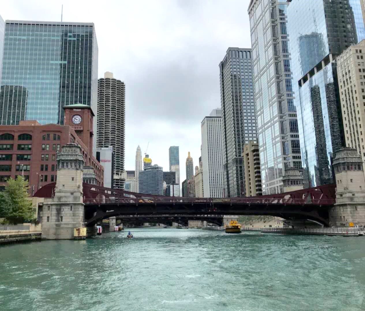
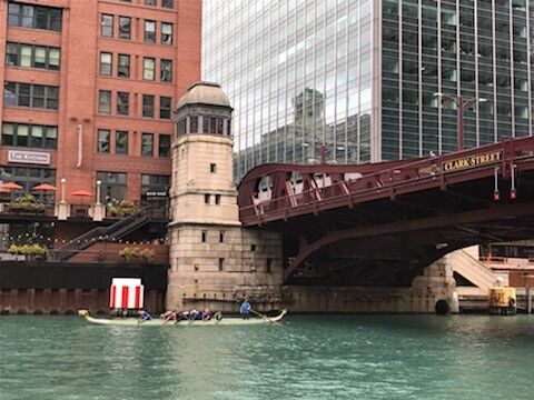
芝加哥的河濱步道(Chicago Riverwalk)是觀光景點之一,步道沿芝加哥河而建,數座高架橋按歷史名人命名,橫跨兩岸。
我們的首個行程,就是在河濱步道上漫行,汽車行駛在高架橋上,水上巴士在河中穿梭。空中、河岸、水上,繪織成三度空間美景。(17)
首日第二站,來到芝加哥海軍碼頭(Navy Pier)。
芝加哥市東南,濱密西根湖西南角,有一座佔地20萬2千平方公尺的環湖碼頭,建立於1916年,當時是全球最大的碼頭,卻建築在一個內陸淡水湖邊。當年是美國海軍的一個培訓中心,與位於馬里蘭州安納波利斯(Annapolis)的美國海軍官校(USNA)齊名。
二次大戰期間,美國內陸各州生產的兵工物資,均由這座碼頭運輸至歐亞戰場。戰後逐漸淡出,但不失其光彩,改建成一座多功能的綜合型娛樂中心,包括遊樂場、兒童博物館、莎士比亞劇場、商店、餐館。2016年5月27日,更推出高150米全新的碼頭摩天輪,成為美國六座最高摩天輪之一。
娛樂中心內有數家遊輪公司,航經湖內岸邊各景點,白日晚間,美景盡收眼底。(18)
久聞芝加哥深盤披薩(Deep Dish Pizza)為芝城美食之一,遠近馳名。經下榻酒店推廌,就近赴頗具名聲的披薩店Giordanos晚餐。
此店屢次被紐約時代雜誌、芝加哥論壇報及NBC評為全美最佳披薩店之首,是芝加哥獨一無二的經典美食。每日營業前一小時,就有顧客排隊等候用餐。
1943年有一位來自德克薩斯州的美食家Ike Sewell開了一家披薩店,得水質、肉品、乳酪、果蔬上乘之優越條件,與廚師Riccardo研發了一種不同與傳統的芝加哥深盤披薩。以清徹的芝加哥湖水和麵,通常高約3英寸,直徑1英尺,狀似一個有深度的瓷盤。
此種披薩皮薄餡厚,有濃稠的蕃茄香,超足的起士用水牛奶製成,置於蕃茄醬下,以水果木為燃料,用明火壁爐烘烤。有香腸肉丸、明蝦活鮮、蔬果香料及各類綜合四種口味。
我們品嚐了一次頗有特殊口味的美國披薩,每當點食披薩時,就會想起那使人垂涎欲滴的芝加哥深盤披薩。(19)
第二天只安排半日行程,搭乘水上出租車(Chicago Water Taxi)遊密西根湖及芝加哥河,兩條線中的後者。起點火車站,終站中國城,中途有五個搭乘碼頭,酒店附近就有一處。這天因是星期假日,觀光客比平日多出一倍不止。
酒店建議改搭公立水上公共巴士前往,票價僅需出租車半數,所經路線相同,且座位寛敞,何嘗不試,我們選擇搭水上巴士前往。
巴士在河中平穏行駛,路過商業中心,穿越數座空橋,兩岸人來人往,商店、餐廳座無虛席,花開鳥語,咖啡香濃撲鼻而來。(20)
水上巴士終點站中國城,浦岸碼頭採中式建築,立即有回到家鄕的感覺。
登岸順石階而上,是一座佔地約兩英畝的開放式公園。路經一銅碑,中英文對照,記述芝城華僑集資建園事蹟及中國城建城歷史。
步行約15分鐘到達唐人街,見一座紅柱碧瓦中式牌樓立於入口處,正面中央有「禮義廉恥」楷書正體四字。其左有石造,樓高五層鼓樓一幢,建於1932年,是芝城最大華人社團安良工商會(On Leong Association)會址。
建於1890年代的芝加哥中國城,與舊金山華埠、紐約華埠、洛杉磯華埠,合稱為美國四大華埠。
芝加哥中國城縱橫四條大街及數條小街,城內的九龍壁、天下為公牌坊、十二生肖廣場,都是觀光客必遊景點。
最早移居芝加哥的華人,可追溯到1870年代,1868年清廷與美國簽署《博林干姆條約》,開放華人移民。1890年代初,在美華人已達30萬人。單就芝加哥一地,1990年時,大都會地區已有6萬8千人。(21)
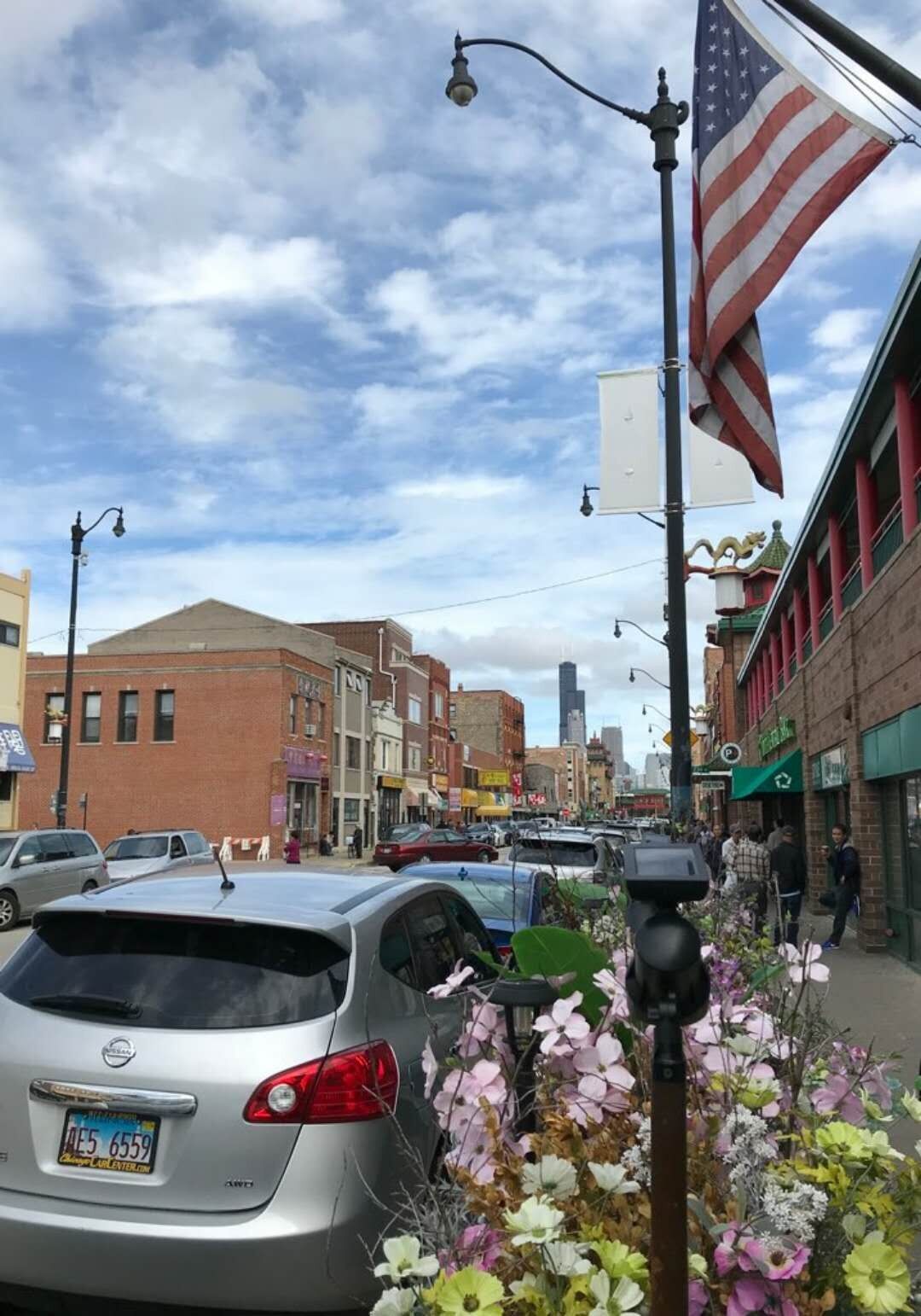
芝加哥中國城的主街Wentworth Avenue(溫活大道)是唐人街的精華地段。筆直的道路兩旁,商店、餐館、參茸行、中藥舖、超市、雜貨店、同鄉會、公所林立。模匾招牌均以中英文正體書寫,橫式大多從右至左。
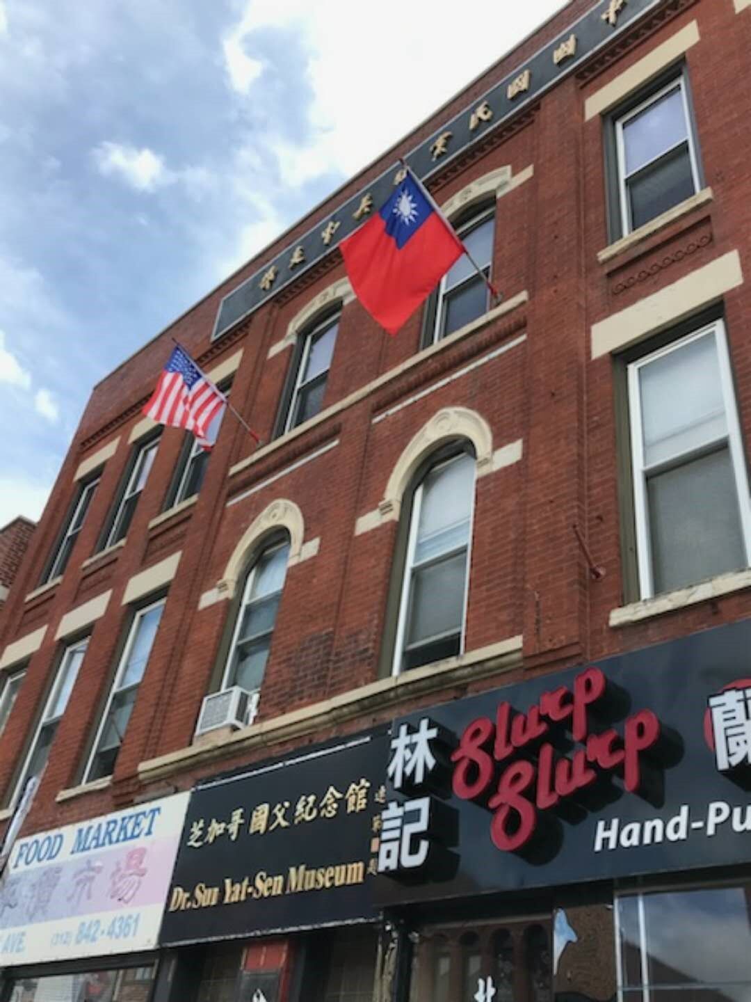
遠眺大街驚艷有一大樓,陽台升起美國及中華民國國旗,心中無限激動,原來是中國國民黨美中支部。1909年(清宣統元年)12月,孫中山先生停留芝加哥期間,在此成立同盟會芝加哥分會。民國32年(1943年)2月21日,蔣夫人宋美齡女士,訪問芝加哥,在此與僑胞、僑領歡聚。
蔣夫人在芝城安良工商會禮堂發表演說,講詞是這樣的:
各位同胞,今天得到機會,與各位相見覺得很是歡喜。我們祖國抗戰已經六年了,我們中國能夠抗戰六年,而且愈戰愈強,全賴兩種方法,一為軍械,一為精神。國內的軍隊以及民衆,使用武器去打擊敵人,你們發揮你們的精神,去擁護抗戰。過去你們努力捐輸,政府及國內的同胞,均時常想念你們。他日抗戰勝利,你們是有功的。現在我們的政府,國民黨,全國的軍隊,以及全國的民眾,均盡他們的能力,去從事抗戰工作。這次我們抗戰,是謀解決我們國家的命運,以求得到自由平等。
蔣夫人回國後不到十個月,於民國32年(1943年)10月10日,中英兩國宣佈,撤銷以往對華不平等條約。
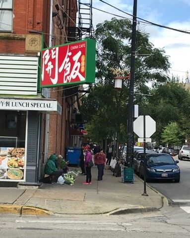
我們再往側街步行,有一餐館名為「開飯」,頗為好奇,入內與老闆聊起命名緣由,我們聆聽了一段「文化大革命」吃大鍋飯的故事。
餐館邊街,有一長溜地攤,售賣蔬菜、水果、花卉,攤主席地而坐,就地叫賣,形成一條熱鬧美麗的風景線。
中午就在「開飯」用餐,結束了半日的中國城遊覽,回程再經荷蘭小鎮,買了一些荷蘭小吃,回底特律享受。(22)
密西根州既是工業州也是農業州,其生產的蘋果媲美華盛頓州,是美國繼華州之後的第二大蘋果生產州。擁有1150萬棵蘋果樹(2018年),總面積達3萬5千5百英畝。40%供應本地市場,其餘輸往美國26個州及海外10個國家及地區。
【果園之鄕Armada】
2018年9月15日星期六,我們選擇前往位於底特律市東北約25英里,人口不到1萬人的蘋果生產地Armada小城,去體驗一次採擷蘋果的樂趣。
車行約40分鐘,來到Armada西南方的Blake’s Orchard蘋果園,這裡是密西根州最具規模的果園,也是大底特律地區18處自摘(U-pick)式蘋果園中的最大一處。佔地80公頃,除了生產蘋果外,還種植櫻挑、南瓜及四季豆。(23)
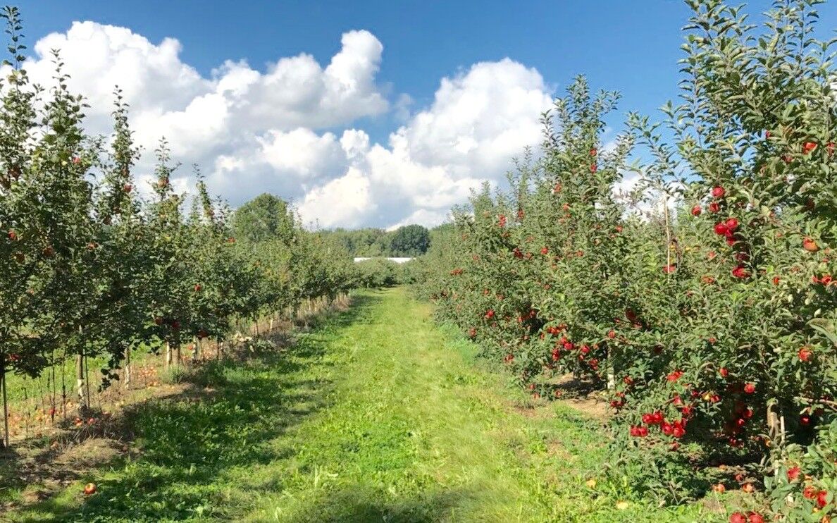
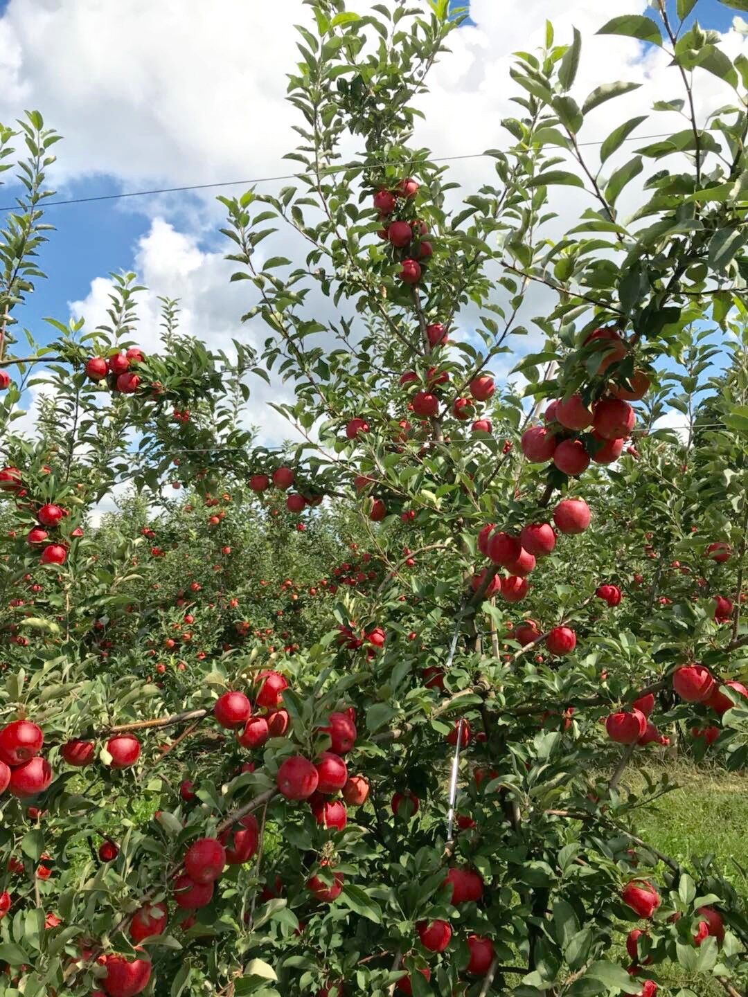
這座自摘式果園採公園化企業化經營,果園面積佔總面積60%,其餘係各項硬體設施,包括一個停車場可容納200輛中小型車,一座綜合商場,內含餐廳、禮品店、系列蘋果出售攤位及一條蘋果汁生產線,可以很清楚的看到製造流程。顧客在第一時間,就能買到純度百分之百最新鮮原汁原味的蘋果汁。
另外在一處樹叢中,開闢了露天餐飲區,方便遊客休憩用餐。兒童遊戲區,緊鄰餐飲區。
園區出入口均為單行道,出口處係管制室,離園車輛須停車受檢,並過磅採擷物,計價付款後放行。
蘋果樹分類分區種植,每100公尺為一行,寛約5公尺,兩行之間有4公尺寛的道路,方便工作車輛行駛及觀光客步行採果。
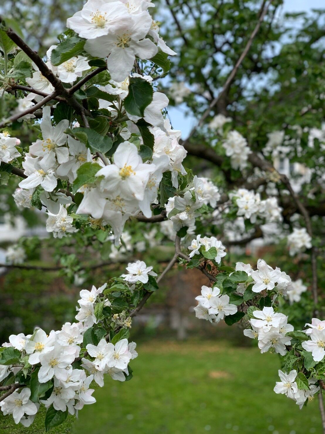
每年春天大約三月春分過後蘋果花開,花有白色、粉紅兩種,盛開時一片花海,十分壯觀艷麗。
蘋果原産地在歐洲,屬薔薇科長年木本植物,若不修剪會高到五、六公尺以上。果園內的蘋果樹,都經過接木修剪,維持在二、三公尺,方便採收。
為了保證結出色艷味美的優質果實,通常不用粍時冗長的種子繁殖,改用截枝培土生長。
區與區間闢有寬約8至10公尺的道路,可將車輛停靠兩旁,方便遊客採摘。(24)
在回程的路上,Anderson講了一個種蘋果的故事:
兩百多年前,住在美國中部各州的英國移民們,都知道有一位名叫約翰查普曼(John Chapman1774-1845)的人,綽號叫蘋果籽姜尼(Apple seed Johnny)。
這位先生經常赤著腳,穿得破破爛爛,頭頂一個破舊的鍋子當帽子,帶着一隻小黃狗,背着一袋蘋果的種子,遊走於賓夕法尼亞、俄亥俄、印地安那、伊利諾各州農家莊院,用他的種子換點食物過活。但他主要的目的是,希望這個地區的農民都能普種蘋果,人人都有蘋果花可賞,有蘋果可食。
姜尼的蘋果子,是他費了很多年,從他自己種植的蘋果中擷取的。他走到哪裡,都會幫助農民種下蘋果種子,多年後成了蘋果樹,也建成了許多蘋果園。
姜尼當年種植的蘋果樹,至終雖然枯死,但其後代仍然開花結果。俗話說「前人種樹,後人乘涼」,但對姜尼而言,可說是「前人種樹,後人吃果,」。
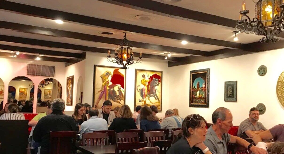
晚間我們在一間創立於1958年,聞名底特律地區,已有60多年歴史的墨西哥餐廳(Mexican village Restaurant)享用了一次正宗墨西哥餐點。9月22日,我與妻搭乘達美航空班機,返回洛杉磯家中,結束了29天的底特律探子行程。(25)
第8篇:北美五大湖
遊記(續)
事經一年一個月後的2019年10月18日,我與妻再度回到底特律,探望Anderson,預計停留五個禮拜,除了平日的正常作息外,每逢週末假日,安排至密西根州境內的大湖區景點自駕遊覽。
【德國小鎮】
到達底特律的第二天10月19日星期六,我們選擇距離家居,車程一個半小時,96英里的德國小鎮Frankenmuth,密西根州著名景點作一日遊。
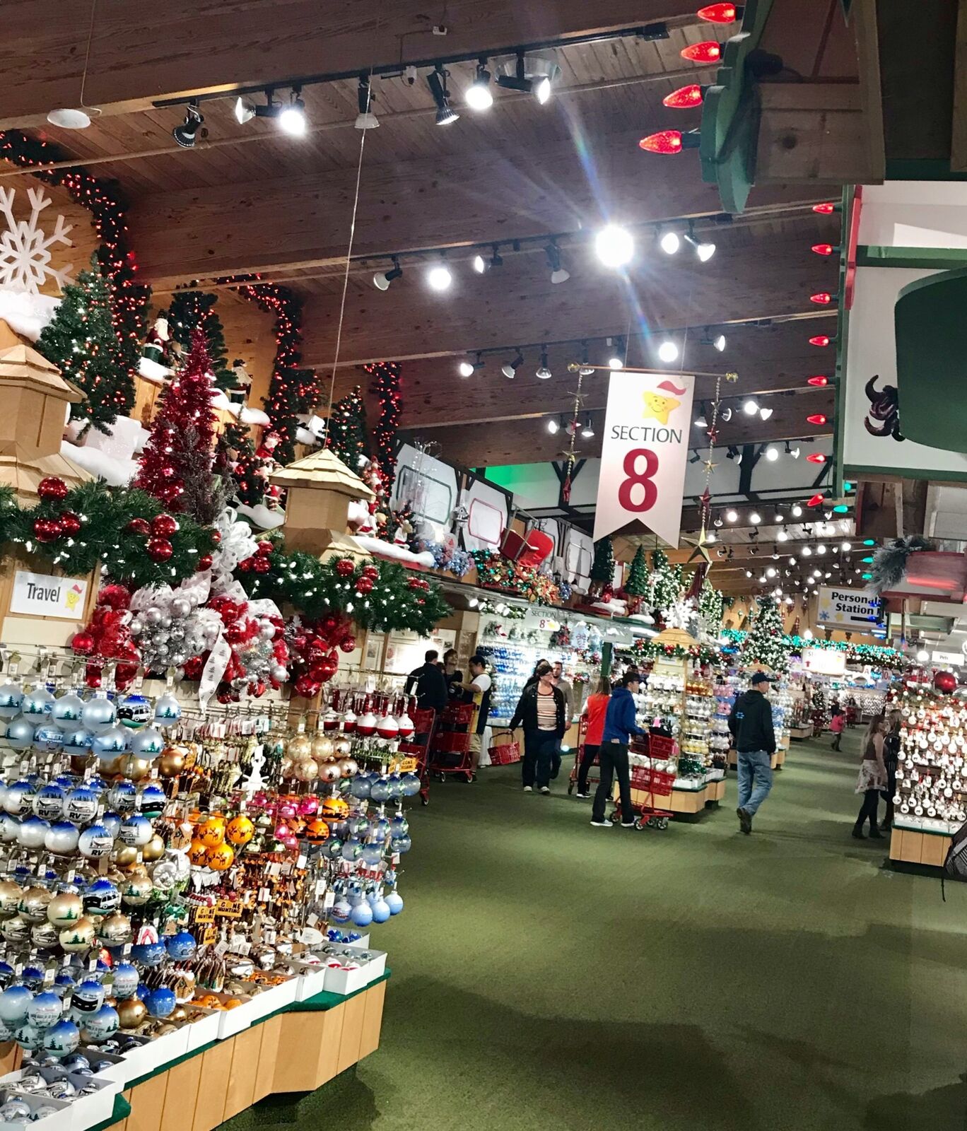
這是繼2018年9月15日後,第二度來到這個密州東南方小鎮。前次由於行程的安排,我們只在這個小鎮,創建於1945年全年營業,有著全球最大最具規模的聖誕禮品銷售中心Bronner’s Christmas wonderland (布朗納聖誕樂園)停留了三個小時。這次舊地重遊,將對這個小鎮作更進一步的了解。(26)
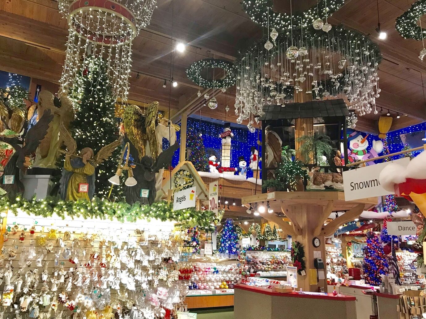
1845年有15名德國傳教士,來到這個密西根州Frankenmuth (法蘭克慕絲)地方,向原住民傳播福音。九年後的1854年,教士們與當地居民,向政府申請建鎮獲准,隨後大批德國人移民至此。把這裡逐步建設成巴伐利亞式的德國小鎮,經過一個半世紀的經營,除了保留母國的傳統風格外,更添加了現代化的建築元素。
建鎮後第三年(1856年),第一家結合旅館和餐廳的Exchange Hotel開業,之後數家旅店客棧陸續建成。
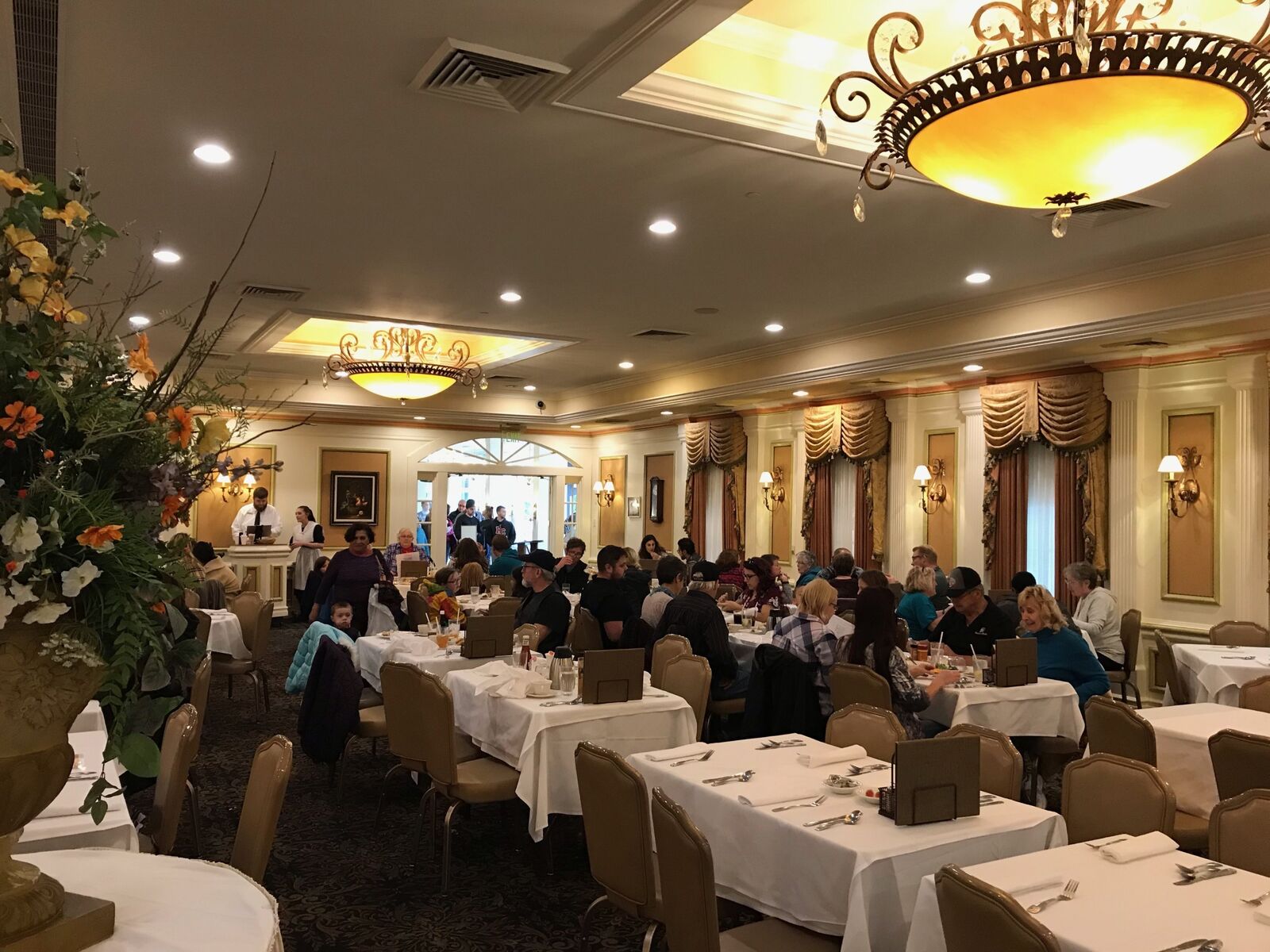
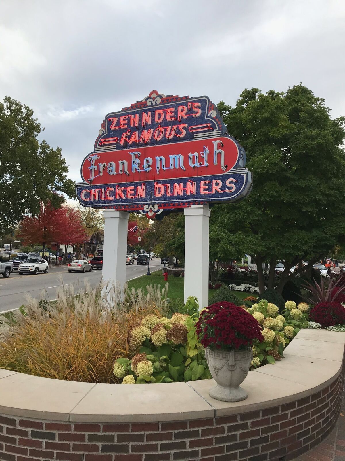
1888年一名企業家岑德先生(Zehnder),將其收購,改為純餐館,命名為Zehnder’s of Frankenmuth,以出售滑、香、嫩、汁多、皮脆的炸鷄搭配啤酒聞名。1928年時,一套炸雞套餐為美金一元。1975年5月11日的母親節當天,創下自開業以來,有4300人惠顧的紀錄,當年一份套餐為美元5元2角5分。
我們在此用餐時,已改為炸鷄甫菲,一客索價美金28元9角5分。
1936年10月,這個小鎮第一盞霓虹燈啓用,至今仍然閃爍,在距離這家炸鷄店不遠的主街Main St上。(27)
德國小鎮面積只有2.79平方公里,卻有86家購物商店,17間酒店旅館,38間餐館,6座教堂,1座軍事航空博物館及1座歴史博物館,更有一處全球馳名規模最大的聖誕禮品銷售中心。如要逐一遊覽,至少要用一週時間。
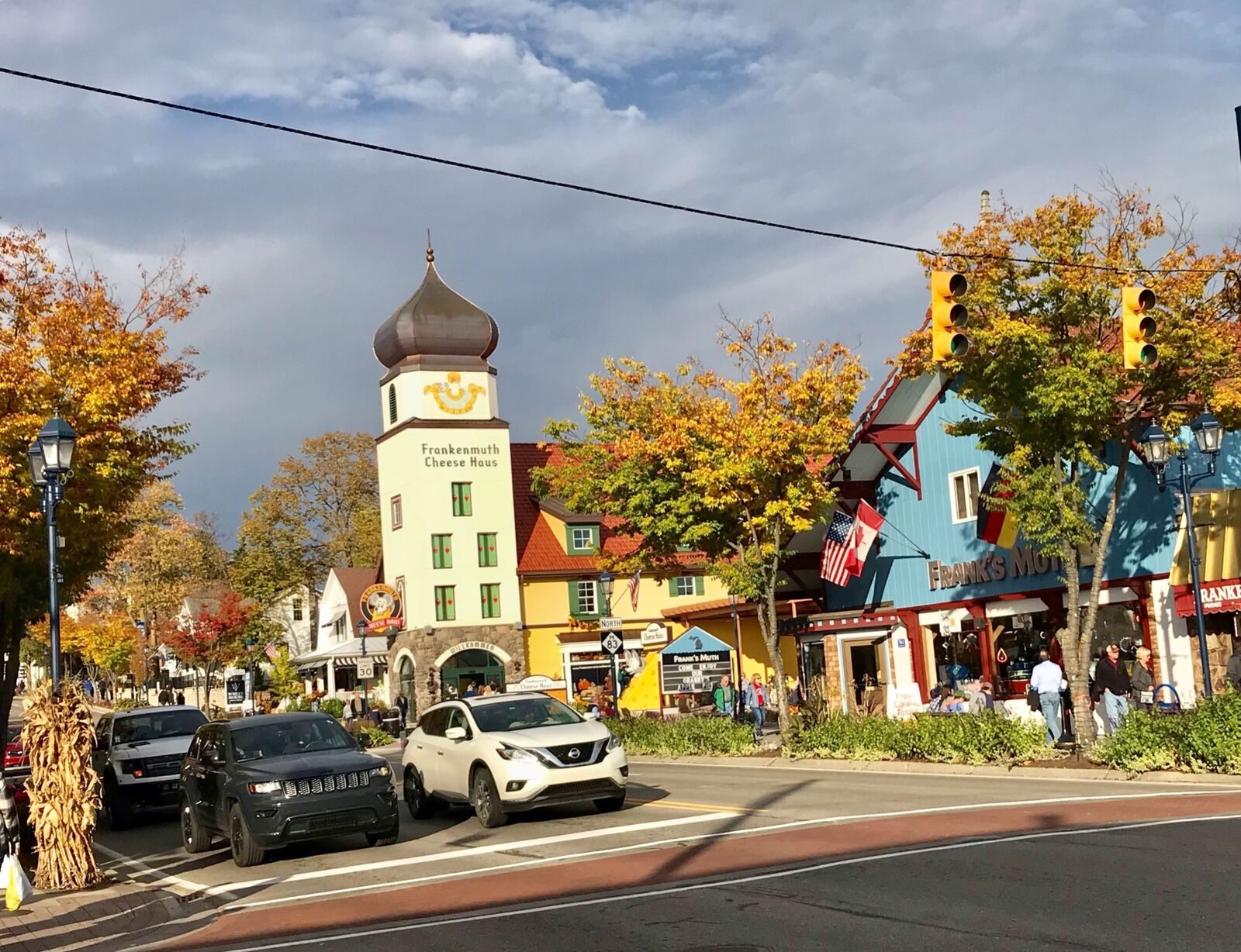
在南主街South Main st上,有一處綜合商場,從時裝、精品店、畫廊、髮型屋到藝品店、餐廳、食品製造坊,應有盡有。商場內的糖果屋和巧克力工廠,更是兒童們佇足最久的地方。同一條街上,有一家製造出售各種乳酪品包括蛋糕在內的起司屋Cheese Haus,生意興隆是觀光客必到的地方。這個Frankenmuth德國小鎮,人口不到7千人,其堅實的經濟基礎,除了觀光產業外,還包括磨坊、保險、金融及製造業。(28)
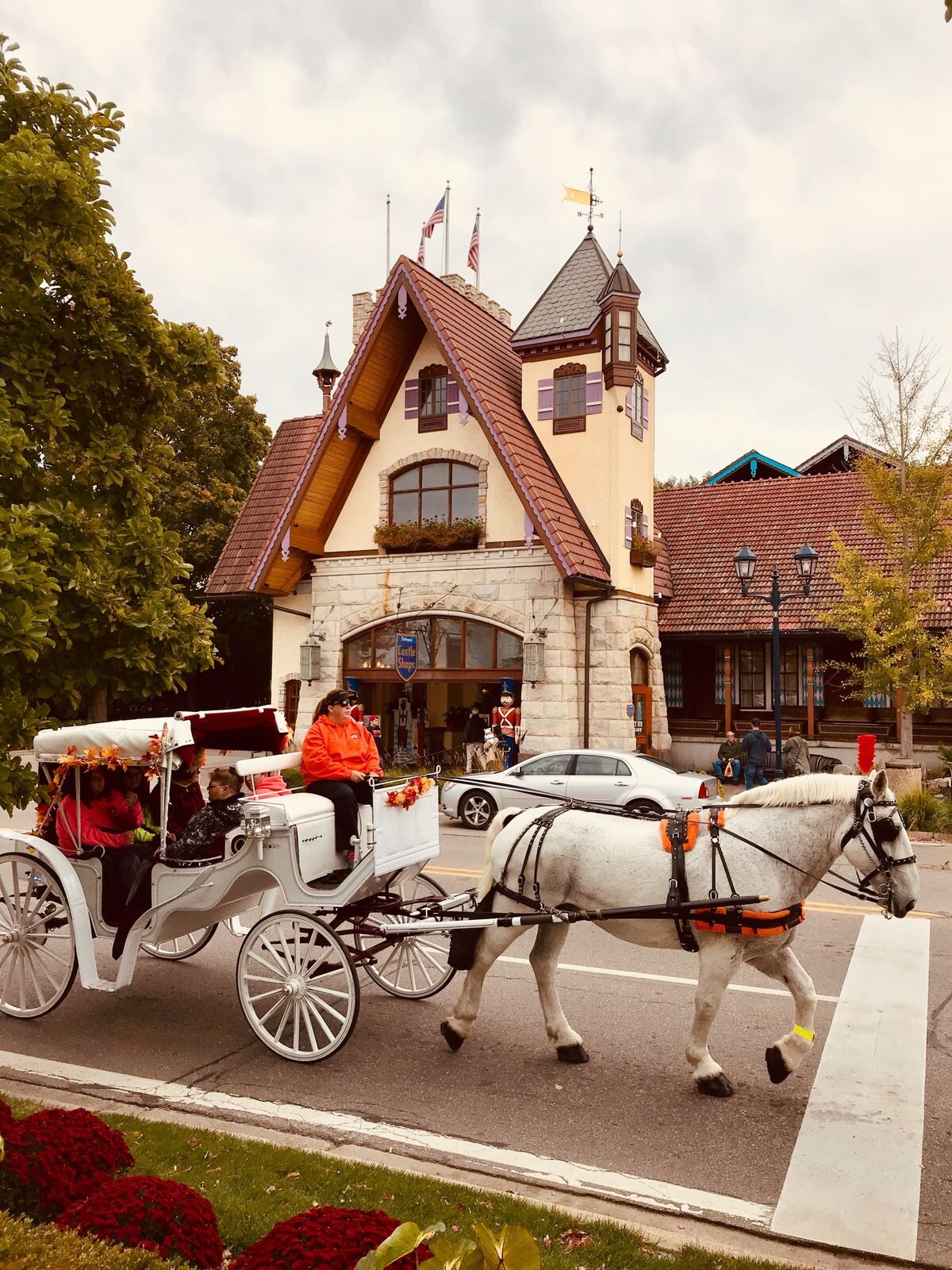
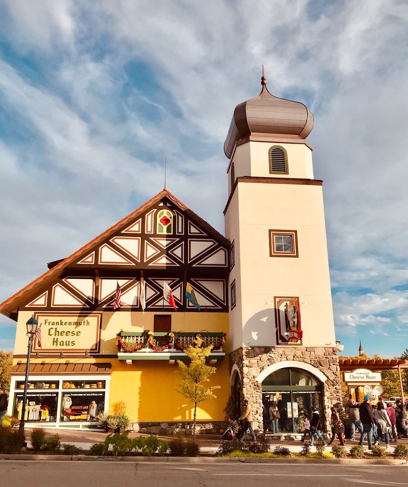
這座密州Frankenmuth小鎮,其建築物包括商店、旅館、民宅在內,大多採用巴伐利亞風格,更有著飲食、服飾、風俗習慣、節慶禮儀等傳統文化,因此又稱為「密西根的小巴伐利亞」。
巴伐利亞是德國東南方的一個邦,面積佔全國五分之一,人口稠密,首府是慕尼黑。
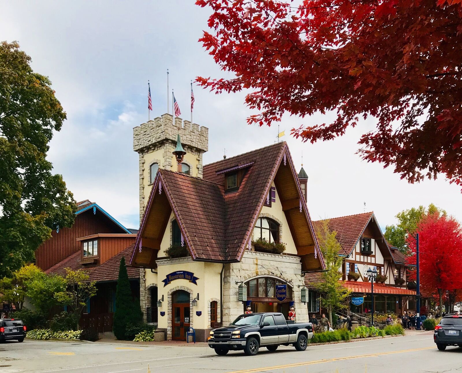
小鎮每年超過300萬觀光客造訪,最具代表的一間旅館Bavarian lnn Lodge(巴伐利亞小屋旅館),位於河濱廣場(River Place)內,旅館外有露天咖啡座,並有表演台,每天都有歌唱、舞蹈、彈奏及動物表演,馬是主角。
卡斯河(Cass River)呈S型由西北向東南,流經小鎮,有兩座橋樑橫跨東西兩岸。其中建於1979年的一座全木質有蓋廊橋,長約100公尺,兩側有行人道,也是觀光馬車必經的一座橋。橋下河水清澈緩緩流淌,河面有遊船穿梭,2004年建造的水上樂園就在不遠處,構成美麗風景。為了因應觀光需要,1984年在小鎮西南方,開闢了一個具備國際標準的高爾夫球場,經常舉辦州際或國際比賽。(29)
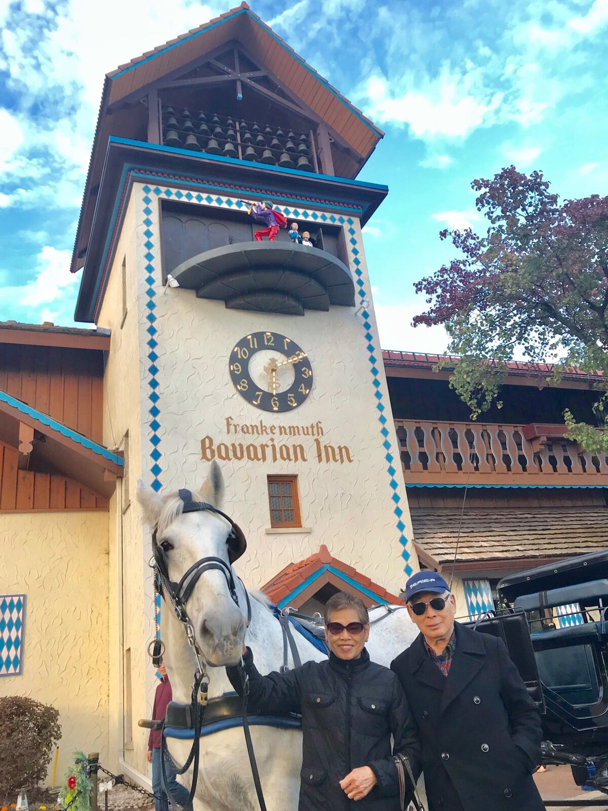
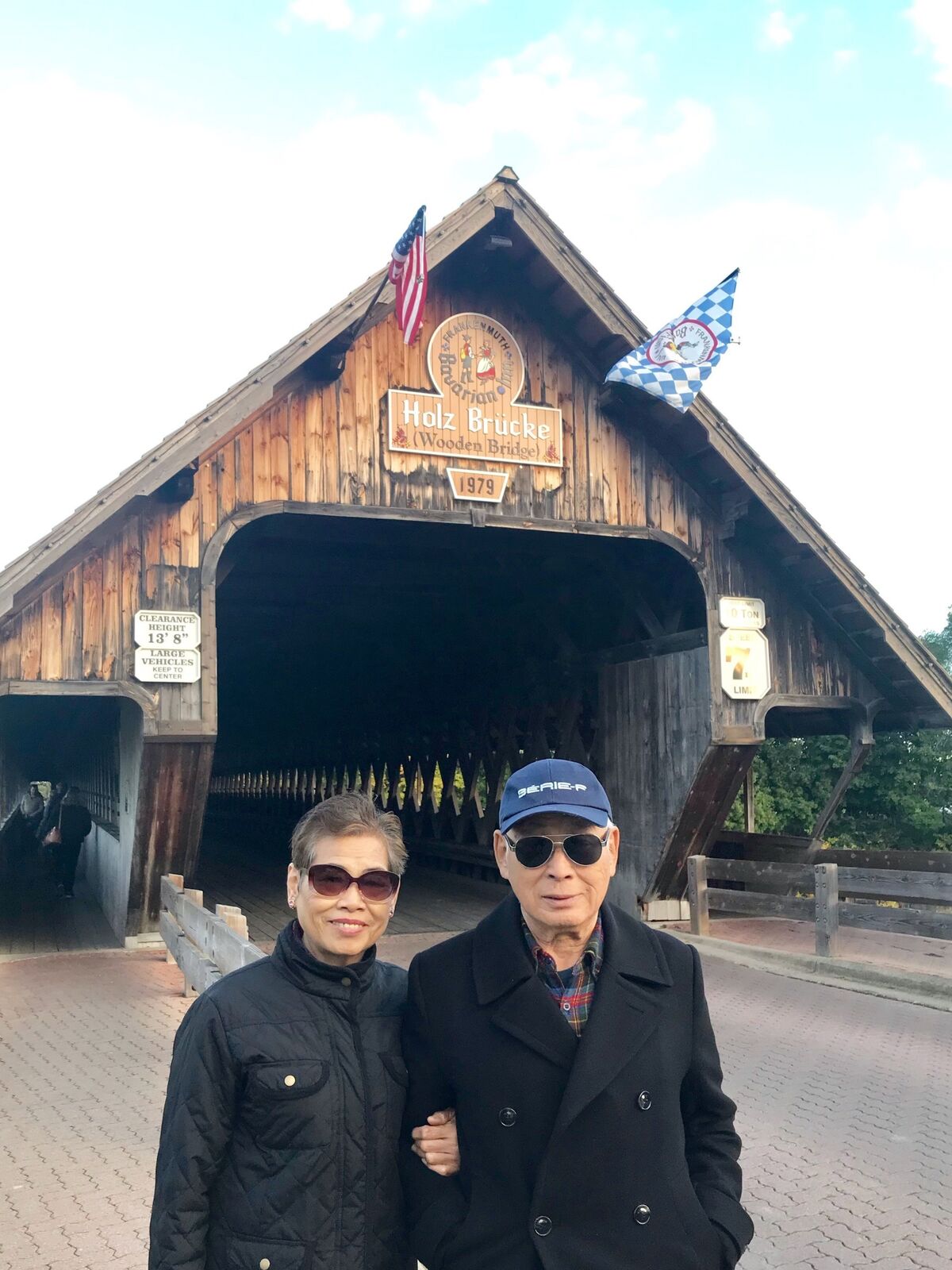
我們在木橋的行人道上,往返走了一趟,由廊橋向外眺望有著夢幻般美景的小河,這是歷年來旅遊首次的體驗。
在橋內遇見一輛觀光馬車,載著六名乘客,像是一家人。一名小朋友而我們揮手致意。秀蓮現學現賣,也揮手回敬,說了一聲Guten Tag(德語:妳好)。
時近黃昏,我們順著主街走,再作一次商業區的巡禮。在Rosstal st與Cass st街口,一家頗富盛名的冰淇淋店(Jaami’s ice cream and Treats)佇足排隊入內,買了三份不同德國口味的冰淇淋。一份巧克力醬配櫻桃,一份柏林啤酒冰淇淋,及一份慕尼黑白香腸冰淇淋,確實爽口名不虛傳。
隨後到了停車場上了SUV,車行十分鐘,二度進入布朗納聖誕樂園。在這座佔地五英畝,有著三個出入口,十二個銷售區的全球規模最大的聖誕物品銷售中心,停留了兩個小時,選擇了一個特大號的紅絨布聖誕蝴蝶結及一些裝飾品,帶回洛杉磯的家,增添一些聖誕節的熱閙氣氛。
室外燈光閃爍,覆蓋了整個小城,我們走向回家的路上,如有機緣我們會再來。(30)
2019年10月27日星期日,我們選擇了在密西根州地圖上,只有一個小點的超小市鎮Tipton(蒂普頓)遊覽。
蒂普頓西南郊區,有一座山湖兼具景色優美,宛如世外桃源般的隱湖花園(Hidden Lake Gardens),這裡又是密西根州立大學的農業實驗林地所在。
【Tipton隱湖花園】
Tipton是密西根州南方萊納維郡(Lenawee County)中的一個鄉村級小鎮,該郡與南方的俄亥俄州為鄰。
由底特律開車向西南方行駛,約90分鐘可達。
隱湖花園依山而建,有產業道路連結各林區,樹木高聳遮天,各類植物近千種,花團錦簇萬紫千紅。
這座教學實驗林場面積約1.2平方公里,兼具植物育種、作物生態、森林保育、土壤改良、植物代謝等研發工作。
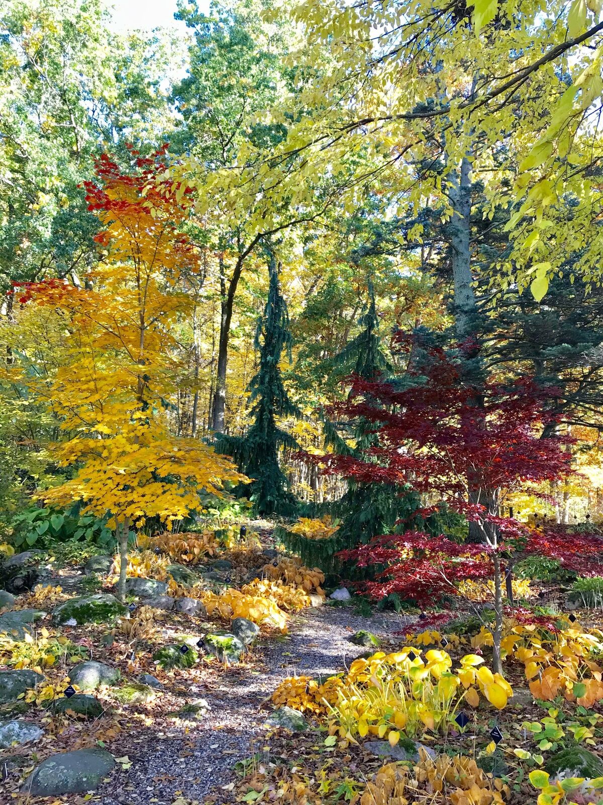
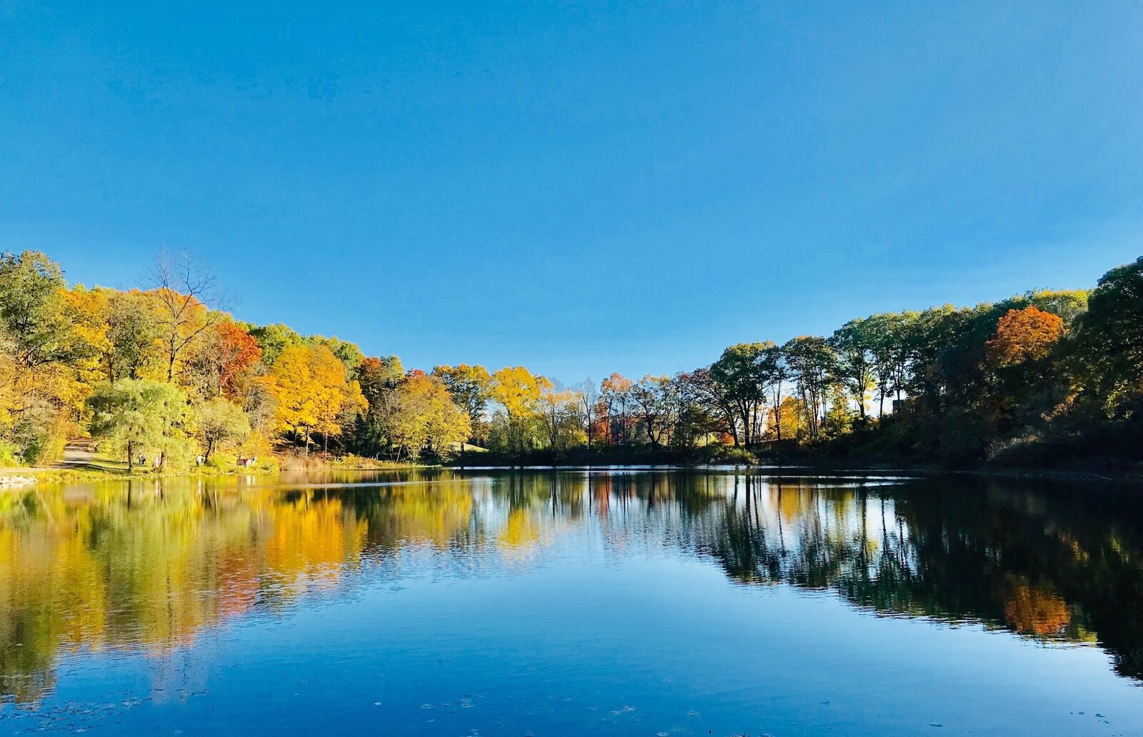
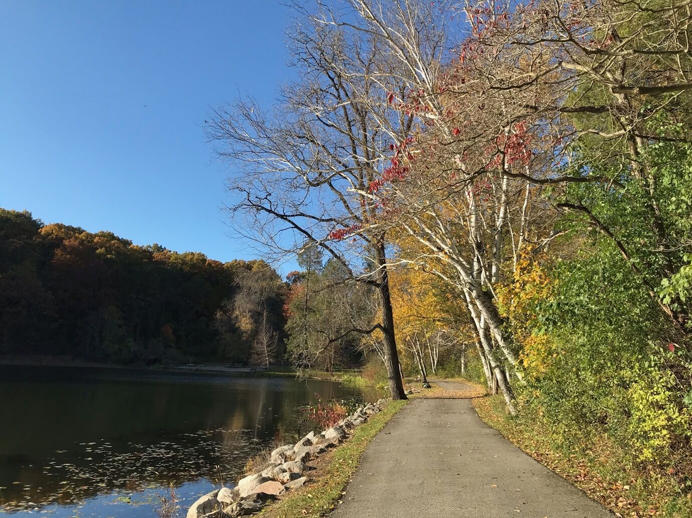
山林之中的隱湖,是遊客必遊景點,設有野營區,可垂釣,闢有環湖步道,漫步其中享盡山林碧湖美景。我們更在森林之中,聽鳥鳴聞花香,吸取山嵐紫氣,修得心曠神怡一日遊。(31)
11月2日是我們2019年到達底特律的第三個星期六,選擇跨州自駕到俄亥俄州兩個濱伊利湖(Lake Erie)都市Toledo(托萊多)及Cleveland(克里夫蘭),作一夜兩日遊。
Toledo位於俄亥俄州西北部,由底特律順75號洲際公路前往,約一個半小時車程可達。1833年建城,是俄亥俄州第三大城。美國名牌汽車Jeep,1941年在此設廠生產。
【Toledo】
Toledo原屬密西根州領地,1837年托萊多戰爭後,併入俄亥俄州,是一個集科技、醫療、農耕、美食、音樂、體育、觀光於一體的美國中型都市。
我們穿過市中心來到城南,一座建於18世紀末頗具規模的農夫市場佇足參觀,市場保持著傳統買賣方式,貨源充沛,價格低於超級市場,除可零購外,每日清晨拍賣叫價,更是熱鬧登場。這天氣溫只有攝氏三度,但絲毫沒有影響各攤位交易熱絡的氣氛。
在此停留了近兩個小時後,順90號公路繼續下一個行程,俄亥俄州第二大城克里夫蘭。
克里夫蘭因伊利運河(Erie Cannal)的開通,鐵路的鋪設,帶動了鋼鐵、汽車、飛機零配件等製造業的興起,因此克里夫蘭成為美國大湖區貨物輸出的最大轉運港。
伊利運河全長584公里,是美國國內最長的一條運河,將紐約州內的哈德遜河與伊利湖連結在一起,提供了美國東海岸與中西部內陸的快速通道。
到達克里夫蘭已是下午三時,按行程先去Downtown,參觀創立於1912年,久仰已久的西側市場(West Side Market),並夜遊市景。(32)
【克里夫蘭】
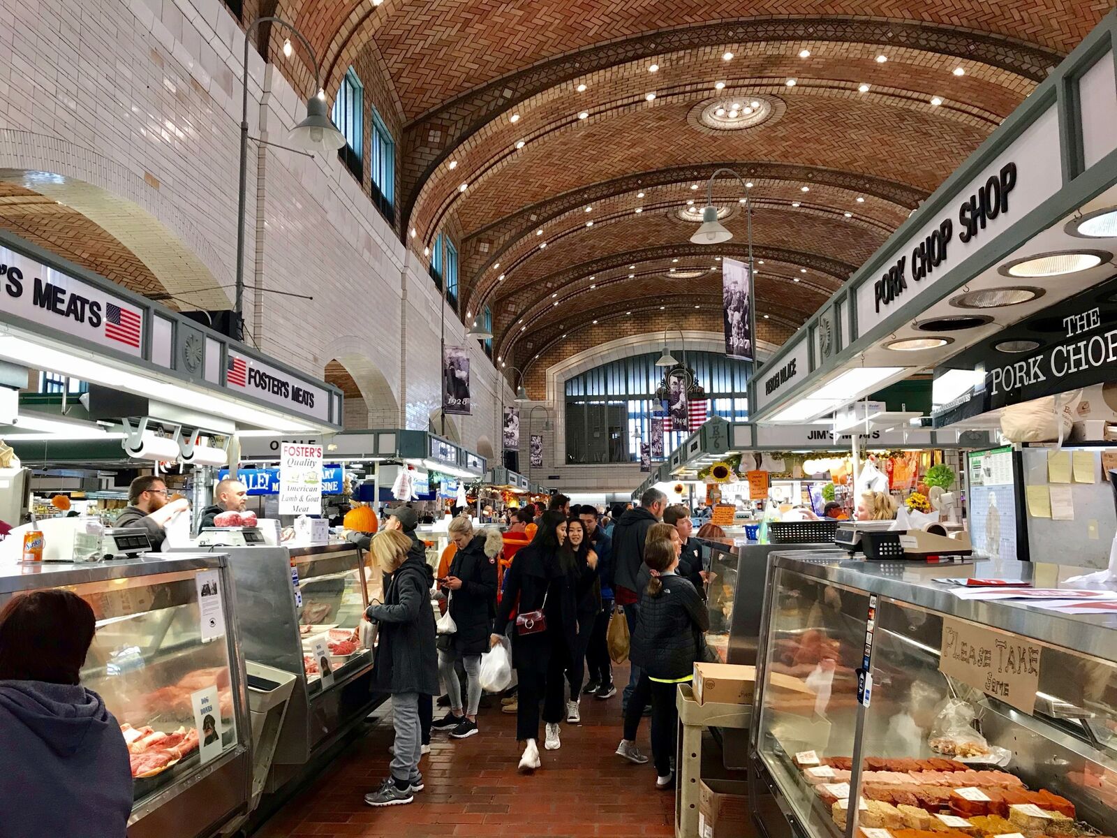
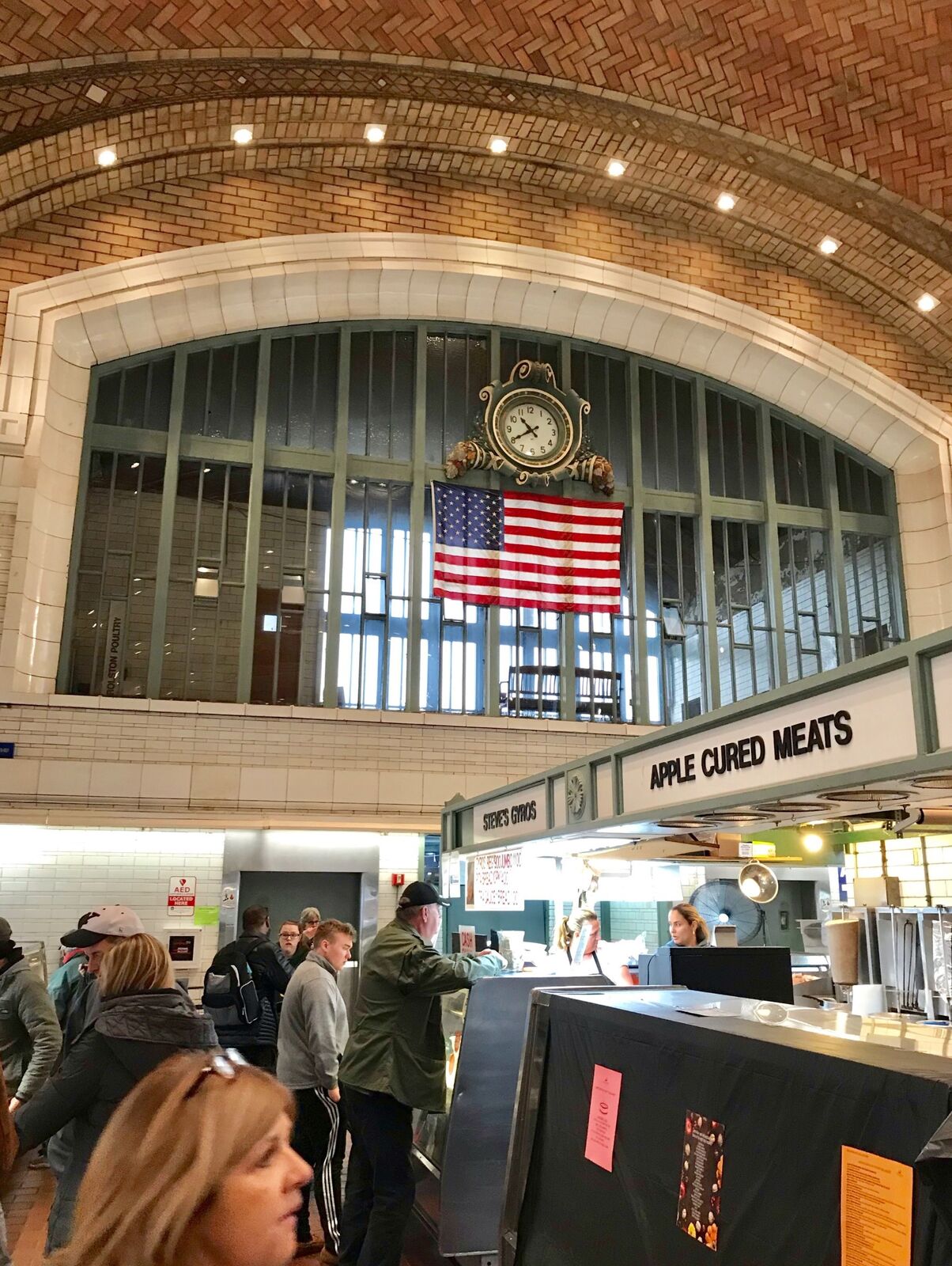
西側市場位於克里夫蘭市中心的西南,蜿蜒的凱霍加河(Ouyahoga River)流經其東北,場區包括一條大道三條小街,是克里夫蘭的古蹟也是地標,室內攤位分門別類井然有序。室外一條街是街頭市集,也是著名的跳蚤市場。
離開西側市場後,順20號聯邦公路,向東行約半小時,到達克里夫蘭高地的小義大利城,去享受一次義式美食。我們入座一家義大利披薩店,點了一份香腸披薩,一盤康諾利卷餅,每人一杯米蘭濃咖啡,算是此夜的晚餐。走在這座小義大利城的小街上,霓虹閃爍,綠白紅三色旗飄揚,牆壁上的塗鴉藝術美得讓人目不暇給,不時傳來義大利的民歌,更讓人陶醉。彷彿置身在羅馬、佛羅倫斯、那波里的街道上。(33)
第二天11月3日星期日,我們選擇兩個景點,搖滾名人堂(Rock and Roll Hall of Fame)及克里夫蘭港(Port Cleveland)。
港口離下榻的酒店不遠,事前得到酒店協助,申請到入港證,在港內作了一次不下車的湖港駕遊。
克利夫蘭港內有12座碼頭,沿著伊利湖的凱霍加河南岸而建,緊鄰市區,有如台灣的高雄港。它是美國境內大湖區芝加哥、底特律、克里夫蘭三大港口之一。
1855年密西根州北部的聖瑪麗運河開航,打通了休倫湖與蘇必略湖的通道,克利夫蘭港成為中西部各州木材、煤、銅、鐵礦砂、農產品的轉運中心。
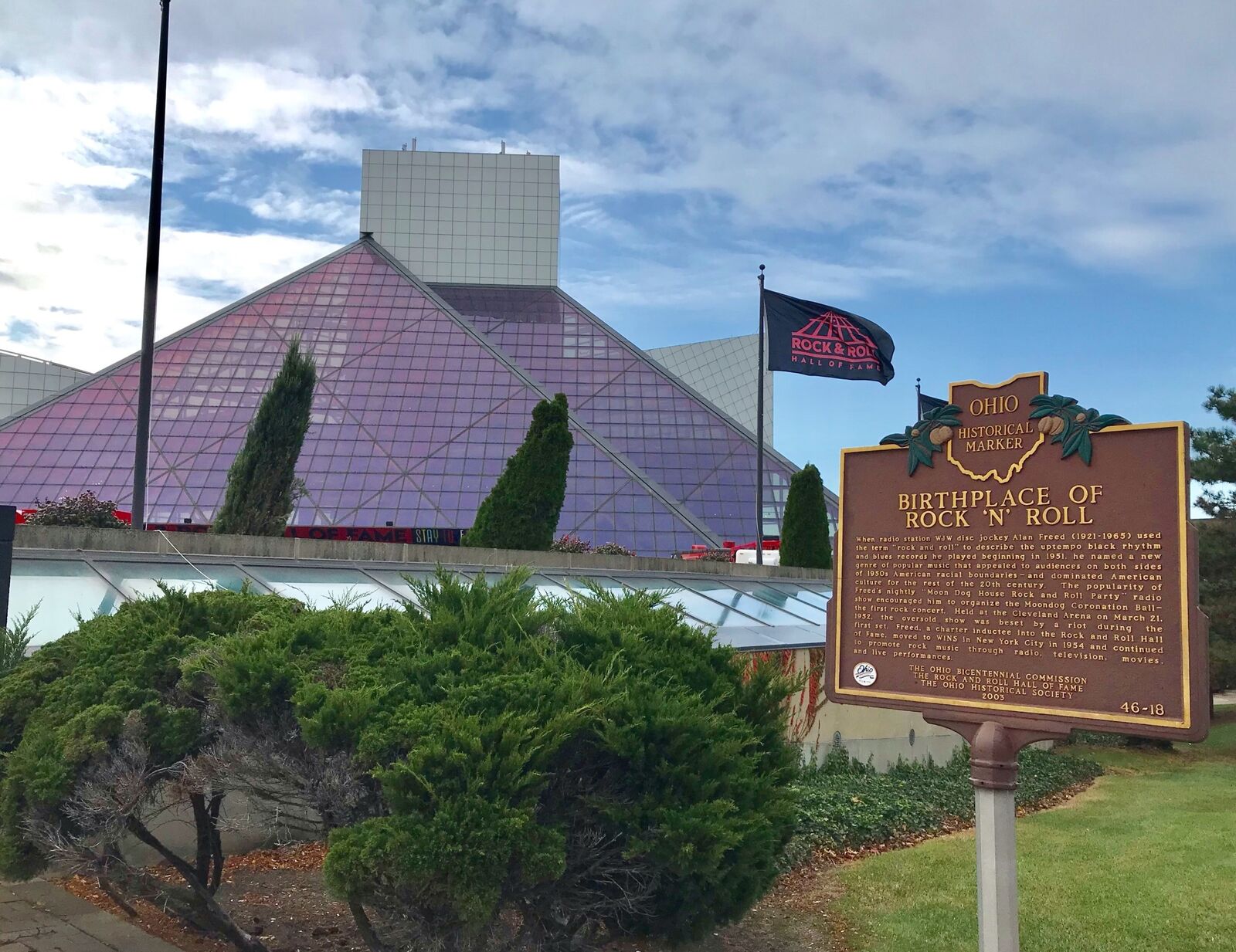
接續到了Bridge Ave上,佔地九英畝,樓高三層,成立於1986年的搖滾名人堂參觀。這裡介紹了搖滾音樂興起的背景,對全球音樂文化的影響,甚至美國外交政策的運作。
這裡可以看到包括貓王艾維斯普里斯萊、麥克傑克遜在內近60人搖滾樂歌手的生平事蹟,及披頭四樂團、漂流者組合、至上女聲合唱,超過30餘團的錄影表演。我曾在《覊旅雁鳴》一書內,寫了一篇名為「克里夫蘭搖滾行」的文章,詳細地介紹了這座「搖滾名人堂」。
在名人堂內停留了三個小時後打道回府,路過Hyatt集團旗下的克里夫蘭凱悅酒店。
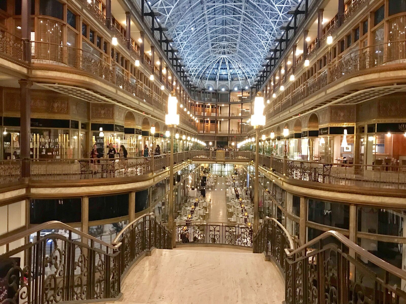
酒店位於市中心一個具有歷史價值的拱廊商場大廈內,面對東四街娛樂區,我們入內享受了一次近一個小時的下午茶時間。欣見兩對新人,在酒店拱廊拍攝婚紗照,我們驅前致意祝福。新娘滿面笑容,直說謝謝。
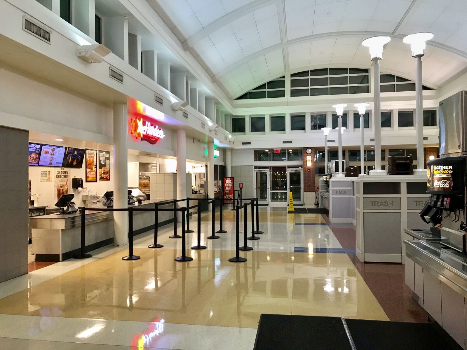
回程在75號公路州界加油站,為座車加油。沒想到公路兩旁,俄亥俄州境內,各有一座建築設計一模一樣的旅客休息站,除了加油站外,還包括旅館、超市、餐廳、休閒大廳一系列設施,令人驚艷。
這座由俄亥俄州民間投資的企業,頗有名聲,美國其他各州罕見。(34)
打開密西根州的地圖,明顯地看出是由兩個半島組成。像一隻面向自己的右掌心,托起一條魚。上半島是魚,下半島是掌心。密西根州也是美加五大湖中,唯一被其中四個湖圍繞的州。
Anderson有一位自小生長在密西根州上半島的同事,介紹他的故鄉是一個充滿湖島美景如畫般,鮮為人知的好地方。很多土生土長的密西根人,一生中也沒有去過一次,實在無福消受,惘度一生。
【密州上半島】
2019年11月8日星期五,我們作了一次三日兩夜的密西根州上半島探訪之旅。目的地是美加邊境的Sault Ste.Marie小鎮,全程542公里,分兩段前往,週五晚留宿下半島最北小城Mackinaw City,次日續往美加邊境。(35)
下午五時自家中出發,順75號公路北上,途經12縣3市,中途休息兩次,於晚間10時30分到達Mackinaw City,下榻旅館Holiday Inn。
這天逢24節令立冬日,一路上難得看到北方美國的天氣變化,越往北走,越有寒意。
一天之內,山楓、毛櫸、槭樹、銀杏的葉子,由綠變紅,再轉紅黃交織,再到黃葉滿樹林。
農舍、麥田、河川、橋樑、樹林,交替出現。這趟密州北島探訪之旅,讓人心曠神怡,亳無倦意。
進入旅館房間,喜見窗外雪花飄起,在路燈照耀下,晶瑩剔透冰潔如玉,像天上仙女撒下的銀花,鋪滿了整個大地。(36)
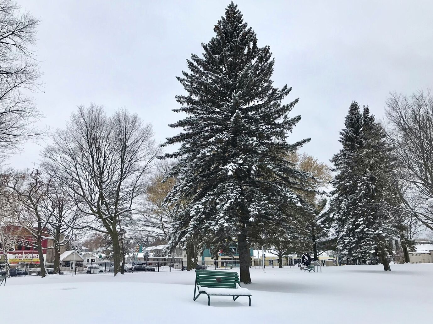
此夜見皚皚白雪超然純潔,更見傲雪枝頭醉人清香。窗外松柏伴隨風聲起舞,頗有「夜深知雪重,時聞折松聲」一般的感受。
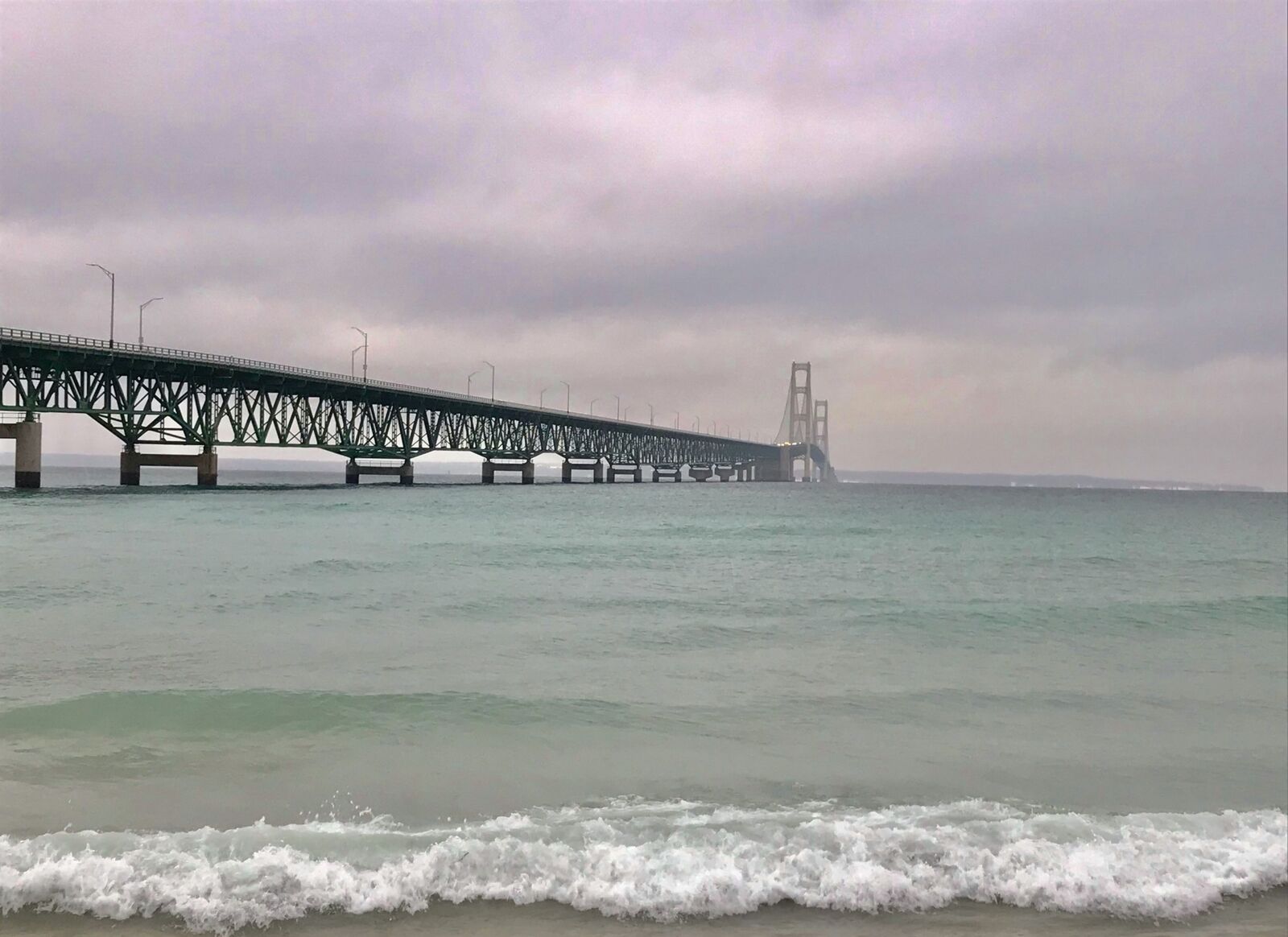
雪停了天也亮了,是個晴朗的好天氣,早餐後續往下個行程。仍然順75號公路通過麥基諾大橋(Mackinac Bridge)到達上半島的聖伊格納斯城(St.Ignace)。
麥基諾大橋於1954年5月7日開工,1957年11月1日落成。南北縱跨麥基諾湖峽(Straits of Mackinac),湖光景色美不勝收。是美國國內第一座懸索式吊橋,長8038公尺,橋上淨空61公尺,橋下47公尺,氣勢雄偉壯觀。
麥基諾湖峽又稱麥基諾水道,大橋通車後代替了兩岸渡輪,使兩岸雙城成了觀光勝地。水道東鄰休倫湖(Lake Huron),西接密西根湖(Lake Michigan)。兩湖之內有大小島嶼100多處,美景不亞於印尼巴里島和泰國普吉島。
兩岸雙小鎮近在咫尺,不足15公里,卻有五星級酒店11處,汽車旅館20多處,更有湖邊小木屋出租,每年四至十月是觀光旺季。麥基諾島上的州立公園(Mackinac Island State Park),是國家風景步道的一部份,旺季遊客如織,渡輪客滿即開,航程20分鐘,舒適便捷。(37)
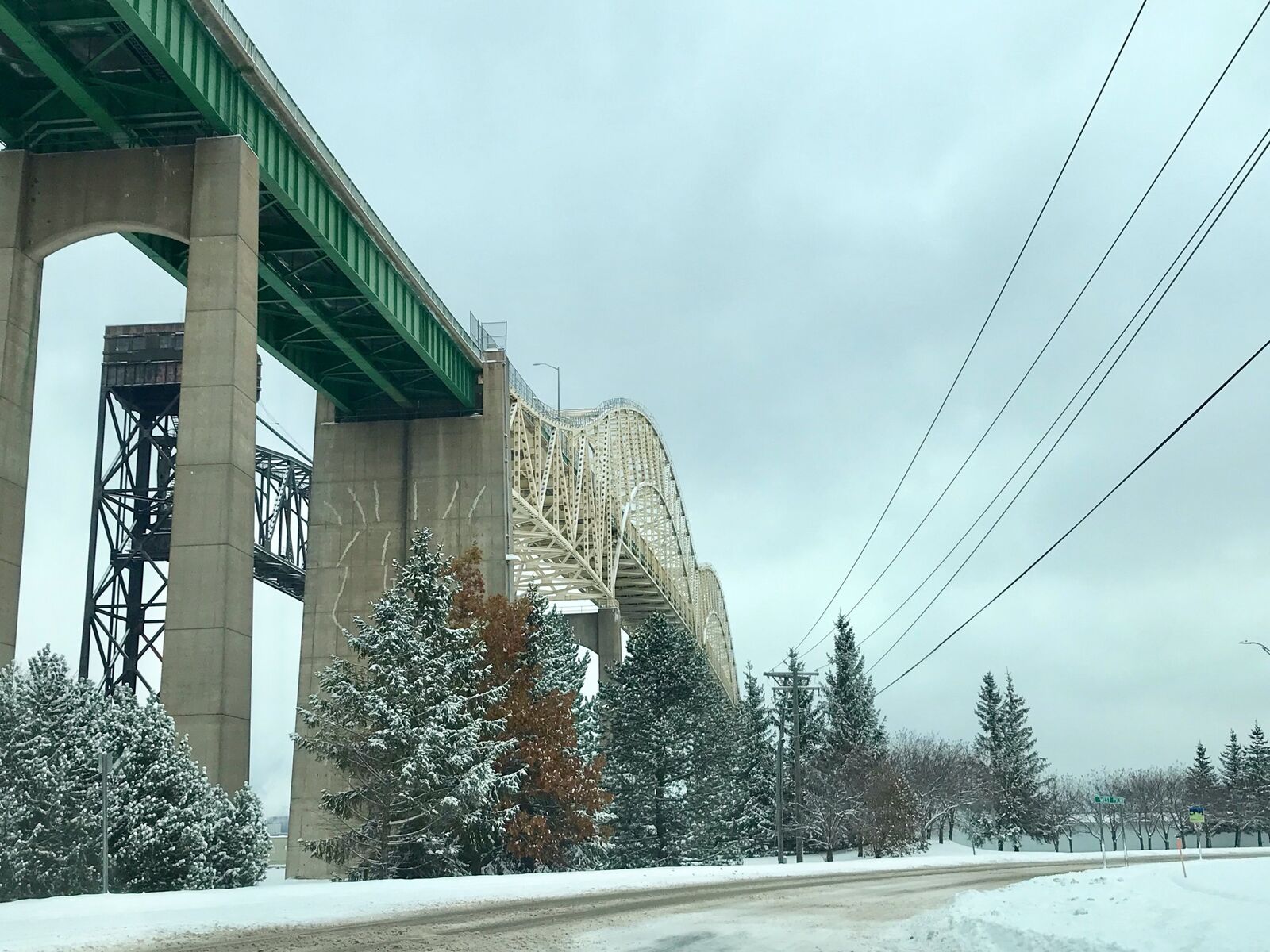
上半島的聖伊格納斯城,至75號公路終點,美加邊境的蘇聖瑪麗城(Sault St.Marie Michigan USA),與一水之隔,同名的加拿大蘇聖瑪麗城(Sault St.Marie Ontario Canada)遙對相望。
Sault是法文瀑布之意,由休倫湖進入蘇必略湖,要經過一條63英里長的聖瑪麗河(St. Marys River),兩湖之間最大水位落差21英尺,有一段長約900英尺高19英尺的瀑布,相當壯觀,但不利航行。63英里的一條河,由休倫湖上坡至蘇必略湖,要爬坡176米。
一個費時4年,由法國人設計,美國企業施工建築的梯階水閘(Soo Locks),於1855年落成,船隻可以繞過瀑布,順利平穩通過兩湖。相較以同樣原理建築,貫通太平洋與大西洋的兩洋巴拿馬運河,通行早了58年。
到達密西根蘇聖瑪麗城,已近中午,第一時間先到Soo Locks運河水閘參觀,正好有一艘加拿大籍貨櫃輪,通過水閘。(38)

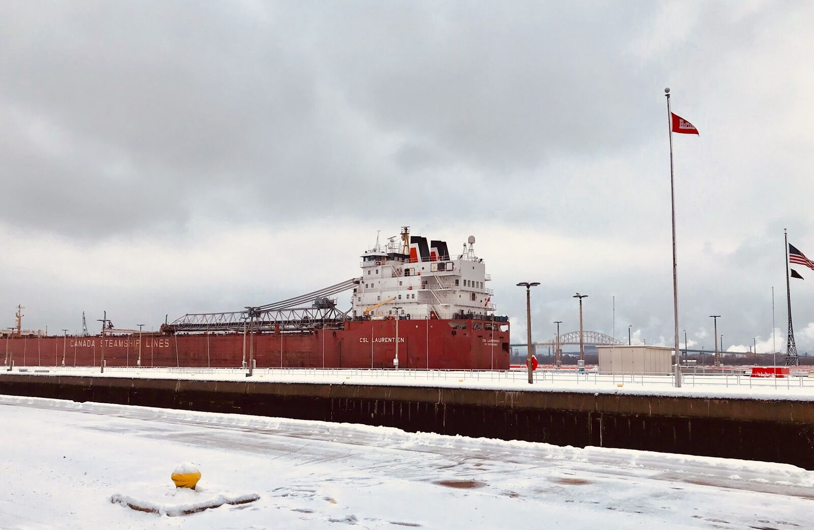
在運河管理中心,得到了一些參考資料,居然水閘操作方式和巴拿馬運河大致相同。感佩歐美國家河運工程科技的進步,遙遙領先其他各國。
隨後繼續行程,經蘇聖瑪麗國際大橋,跨越聖瑪麗河,到達對岸的加拿大蘇聖瑪麗城。
這座國際大橋,1960年9月16日動工,1962年10月31日啓用,全長4500公尺,由兩個拱式架橋連貫而成。
兩國同名雙城,一河之隔相距不到10公里,車程約10分鐘,通關手續便捷。每日往返客貨車,超過萬輛,是美加兩國邊界貿商交易的對口小鎮。
小鎮市容整潔,馬路寛敞,商店林立,一片繁榮景象。
【加拿大小漁村】
借重餐館老闆指引,順加拿大550號省際公路,車行15分鐘,安大略省西北角,有一名為Cros Cap的小漁村,是觀看蘇必略湖美景的最佳位置。Cap是法語,海角、岬角之意。
此段路程雖短,卻見公路兩旁楓葉紅紅,積雪壓枝。松鼠枝上飛躍,野兔雪地奔跑,大雁池邊覓食。佇立漁村碼頭,北眺蘇必略湖一望無垠,南望對岸美國近在咫尺,湖光美景盡收眼底。(39)
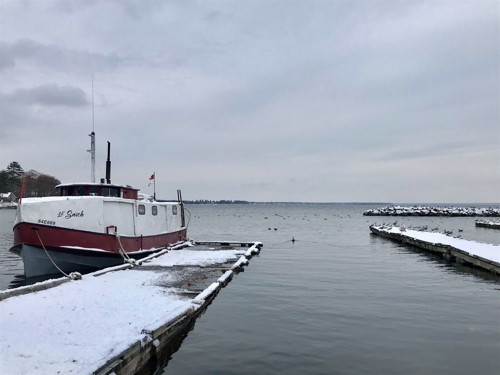
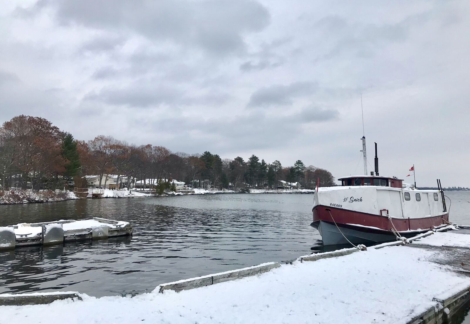
加拿大安大略省西北部,有條南北走向的亞加華河(Agassi River),經過1億2千萬年,將一座高山侵蝕成景致壯麗的亞加華峽谷(Arawak Canyon)。
由安大略省Sudbury城乘坐觀光火車西行約3小時,穿越茂密的森林,翻山越嶺,到達谷頂。觀賞谷底急湍及滿山滿谷變色的楓葉。置身如此迷人至極的天然美景,必定讓人心曠神怡,流連忘返。
亞加華峽谷在蘇聖瑪麗小鎮北約20英里,可惜此行事前未能訂妥旅店,加上火車一票難求,遺憾未能成行,留待下次光臨。
離開小鎮已是下午三時,回程再經國際大橋,入境美國蘇聖瑪麗。大雪初霽,天高氣爽,來到運河政行中心不遠處的一家原是印地安人的客棧,名為Ojibway的觀光飯店。1927年被Ramada旅館集團收購,保留原始印地安部落建築風格,擴建為現代化的觀光酒店。1992年,老布希總統夫婦,曾在此渡假。
我們入內用繕,算是下午茶兼晚餐。餐廳經理,一位年近60笑容可掬的中年婦女,引導我們入座於落地玻璃窗前最佳位置,窗外雪景盡收眼底。
我們喜出望外,正好坐在老布希總統夫婦,當年入座用餐的這張桌枱上。傾聽這位引座女士,述說著老布希一家人,當時在此的歡樂軼事。
晚間約八時,再次駛過湖峽大橋,回到南島Mackinaw City,原留宿旅店Holiday Inn。(40)
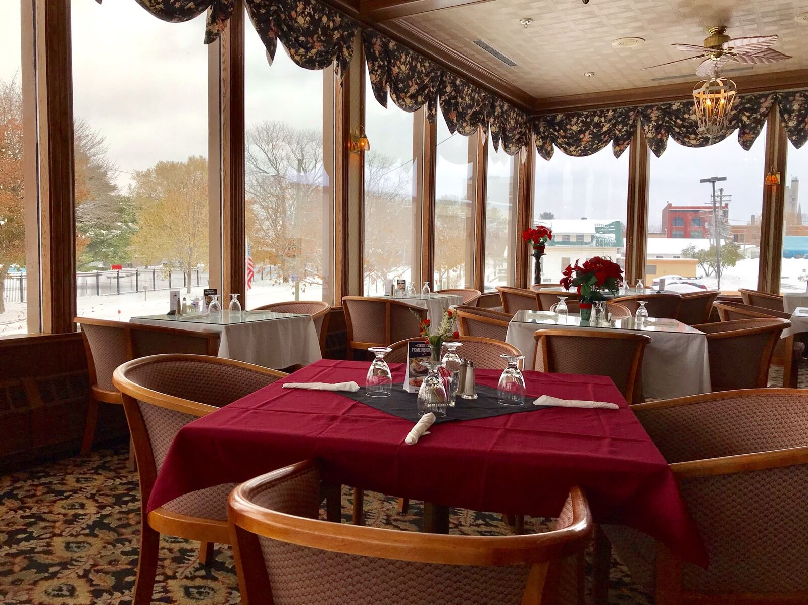
駛經湖峽大橋,橋上居高臨下,見湖邊點點木屋嵌入翠柏高林之中,高林之上覆蓋白雪,白雪之下,枝葉蔥蘢。
湖岸木屋波光湖影,韻緻天成,有如置身仙境。
入夜後風雪依舊,鏟雪車出動,道路暢通無阻,車輛仍然奔馳,觀光客開始享受夜生活。附近賭場,通宵達旦,紙醉金迷。
小鎮月朦朧、雪䑃朧,在街燈照射下,雪花片片,瀟灑飄揚,一夜之後積雪盈盈,大地一片皚白,興致所至,踏入層層厚雪,留下深刻印象的雪地足印。
我們駛往回程的路上,計劃下一週的行程,沿休倫湖(Lake Huron)密西根州南島小城之旅。(41)
上午九時離開Mackinaw小鎮,沿密西根湖東北湖岸南下,途經密州數個著名景點,最終抵達胳臂半島(Arm Peninsula)頂端的Mission Point Lighthouse燈塔眺望湖景。
我們順31號聯邦公路南行,首站到達小特拉佛斯灣(Little Traverse Bay)東南角的佩托斯基城(Petoskey)。
小城的湖灘呈金黃色,碧藍色湖㡳藏有五彩繽紛的珊瑚石,被稱為Petoskey Stone(佩托斯基石),也是密西根州的州石。
31號公路經過城西,緊鄰湖灘,我們被美景吸引,至湖濱公園停車,漫步湖灘至東區漁夫碼頭,欣賞這灣區小城的湖光景色。
公園內滿布白楊、楓槭、白松。白松(White Pine)也是密西根州的州樹,常有知更鳥棲息樹上,鳴聲宛轉美妙,毎至清晨時刻開始唱歌。知更鳥(Robin),也是密西根州的州鳥。(42)
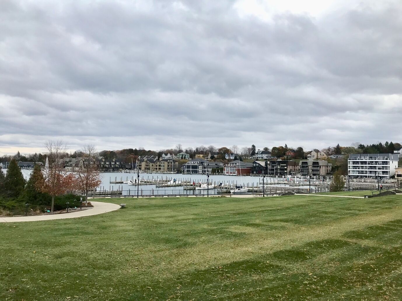
離開佩托斯基小鎮,順31號聯邦公路西南行27公里,到達密西根湖與南半島內陸小湖Like Charlevoix交滙處,人口僅3000人,面積不到半平方公里的沙勒沃伊(Charlevoix)小城。
小城雖小,卻是五大湖地區美國湖岸警衞隊(US Coast Guard)的基地,也是密西根湖的港口城市。1852年由漁民建立,1871年設鎮。森林佔小鎮面積40%,佔盡林湖之美。
公路貫穿小鎮大街,街道兩旁路樹高聳排列整齊,人行道寛敞約4公尺,是商店一條街。餐館、咖啡屋、藝品店、銀行、精品店一應俱全。街對面一路之隔,是湖岸公園,近接漁人碼頭,遠眺漁夫小島。
精品店不乏世界名牌服飾、化粧品、皮包、珠寶、首飾,且價格公道,主要招攬觀光客。
小鎮以東山區林中,是狼獾棲息地,狼獾(Wolverine)屬鼬科動物,已列入保護。密西根州也稱狼獾之州(Wolverine State),美國大學體育協會(NCAA)屬下的密西根大學傳統勁旅,也以狼獾命名(Michigan Wolverine)。(43)
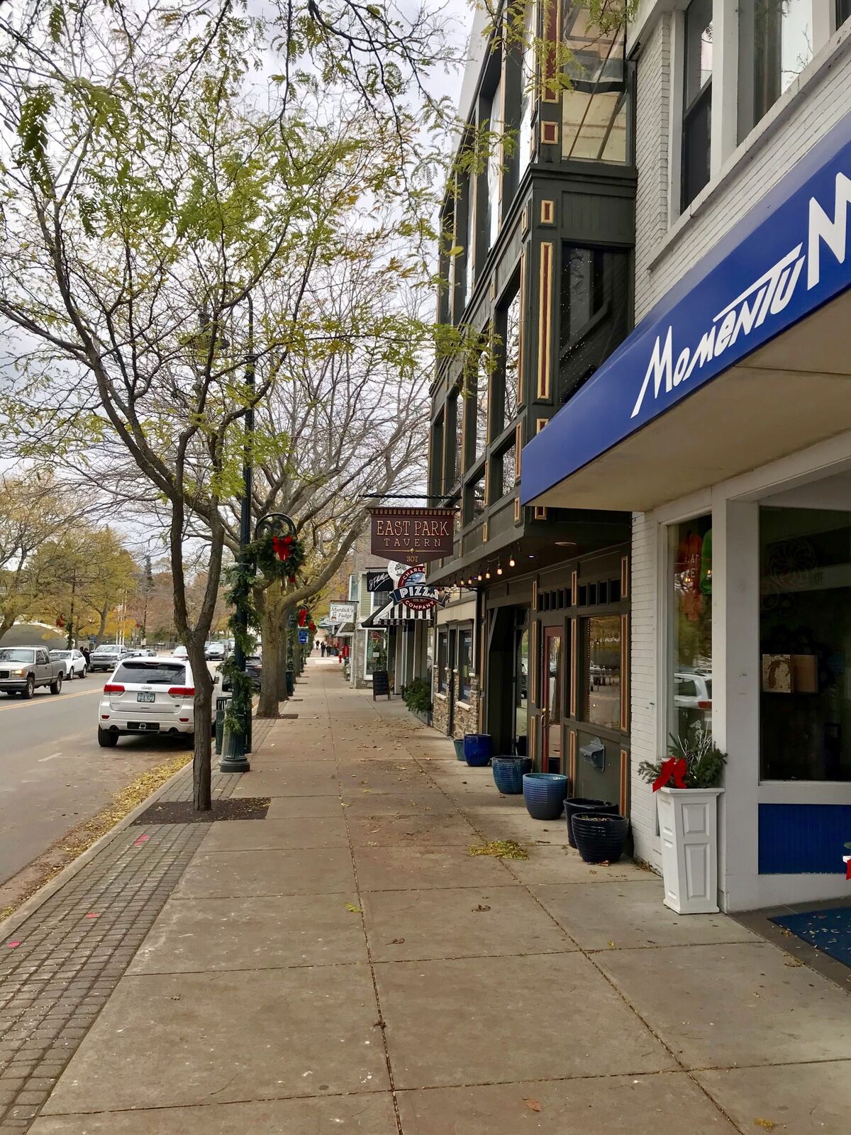
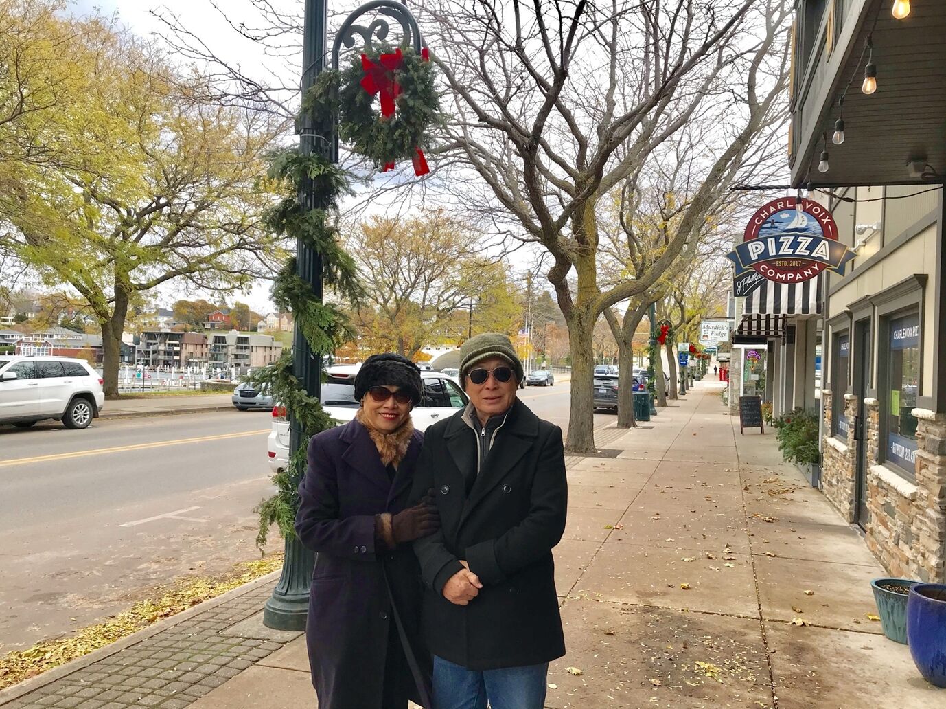
離開沙勒沃伊,沿大特拉佛斯灣(Grand Traverse Bay)東岸,車程85公里,到達大特拉佛斯縣首府Traverse City。小城人口1萬1千人(2015),卻是密西根湖重要港口之一。北、西兩面被大湖圍繞,東、南兩面是起伏綿延的森林山丘。秀麗旖旎的風光,成為五大湖區最受歡迎的旅遊景點之一。
美國國家廣播公司(ABC)電視節目Good Morning America(早安美國)觀衆,數度將這座小城評為「美國最美麗的地方」。
大特拉佛斯縣周邊地區,也是美國最大的櫻桃産地,全國75%的櫻桃,由此地輸往美國國內及海外。每年七月的第一個星期,是這裡的櫻桃節。
【半島尖端的燈塔】
SUV在小城逛了一圈,上37號州際公路,前往深入大特拉佛斯灣中的Arm Peninsula(胳臂半島),因形如手臂而得名。長32公里,平均寛度3公里,公路兩旁大面積種植櫻桃、蘋果、葡萄、雪梨。果園、農舍、酒廠形成了一連串的田野美景。
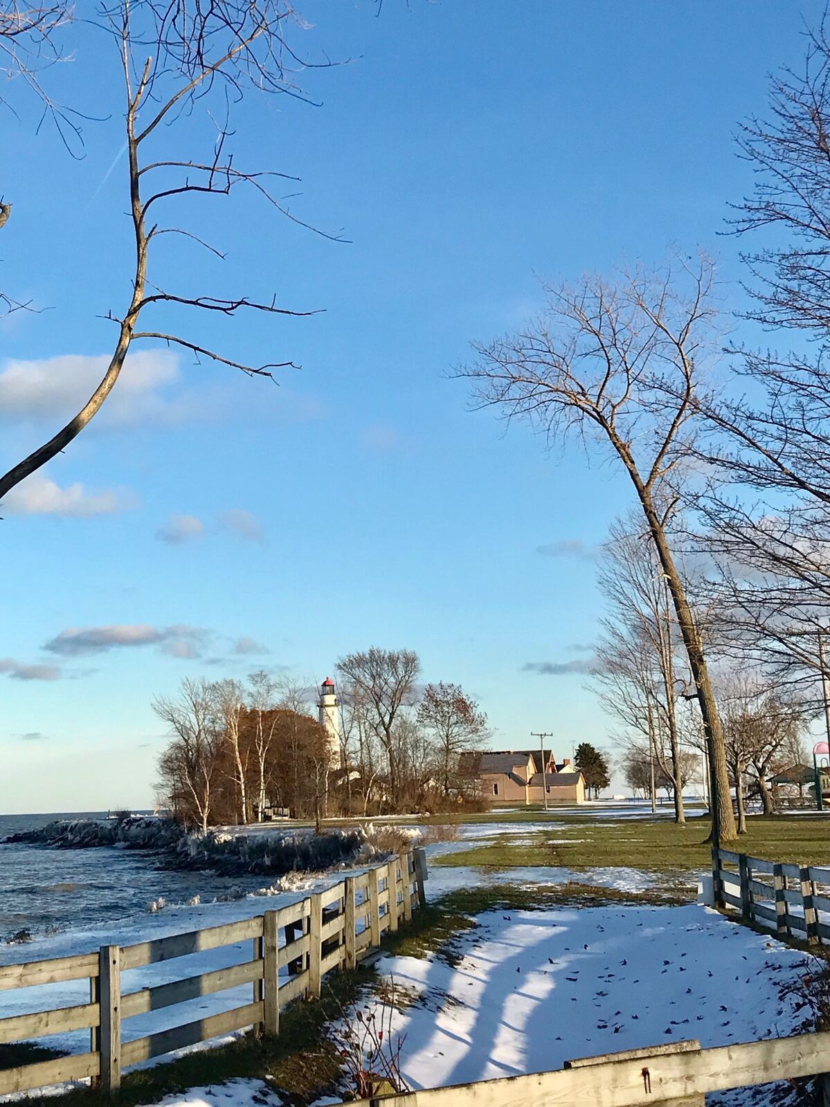
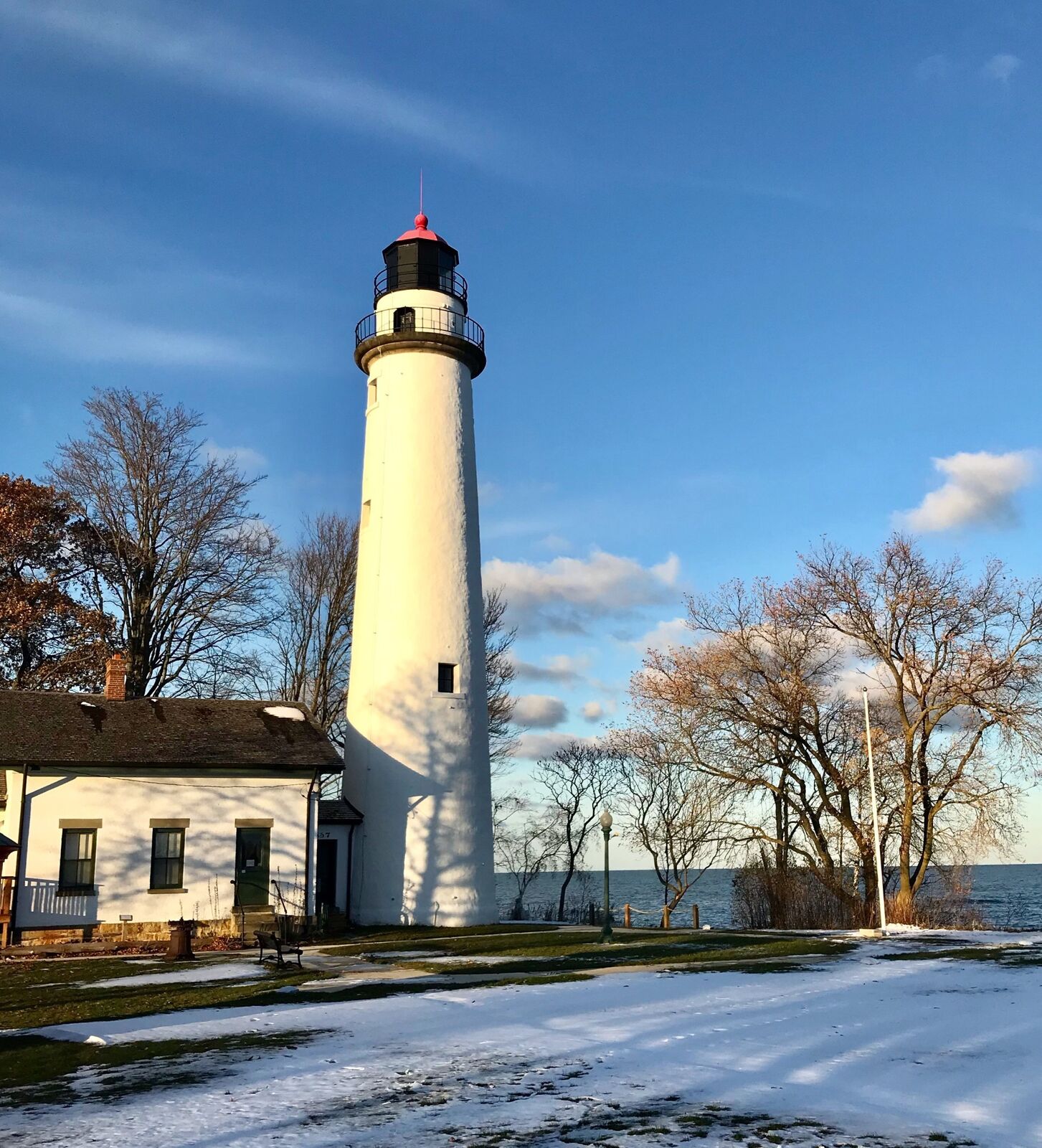
半島尖端的Mission Point Lighthouse燈塔,建於1870年,是沿密西根湖106座燈塔中,最有名氣規模最大的一座,除了造型特殊外,還有燈塔博物館,遊客可以登塔眺望大湖美景。塔區緊鄰森林公園,數十公尺的原始松柏,聳入雲霄。當日氣溫攝氏零下二度,但遊客不減,凜冽寒風中,遠眺壯闊湖景,此行頗有收穫,留下深刻記憶。(44)
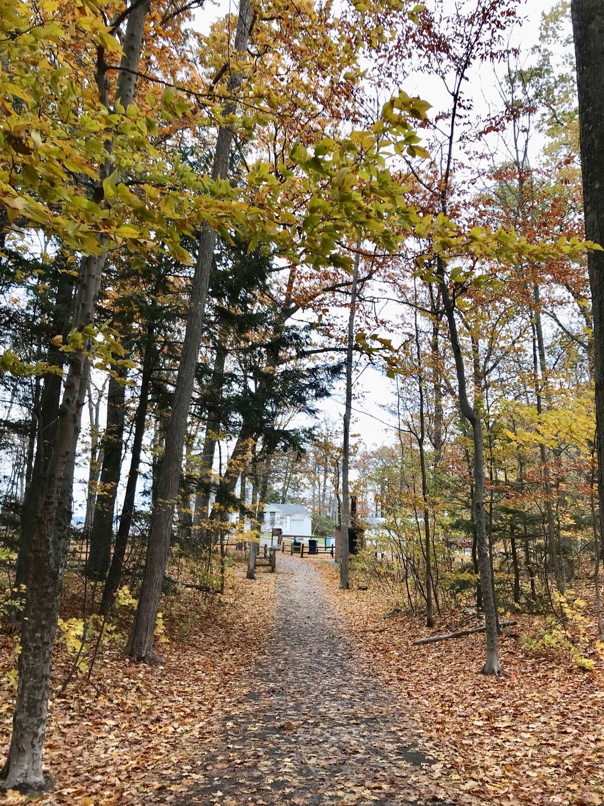
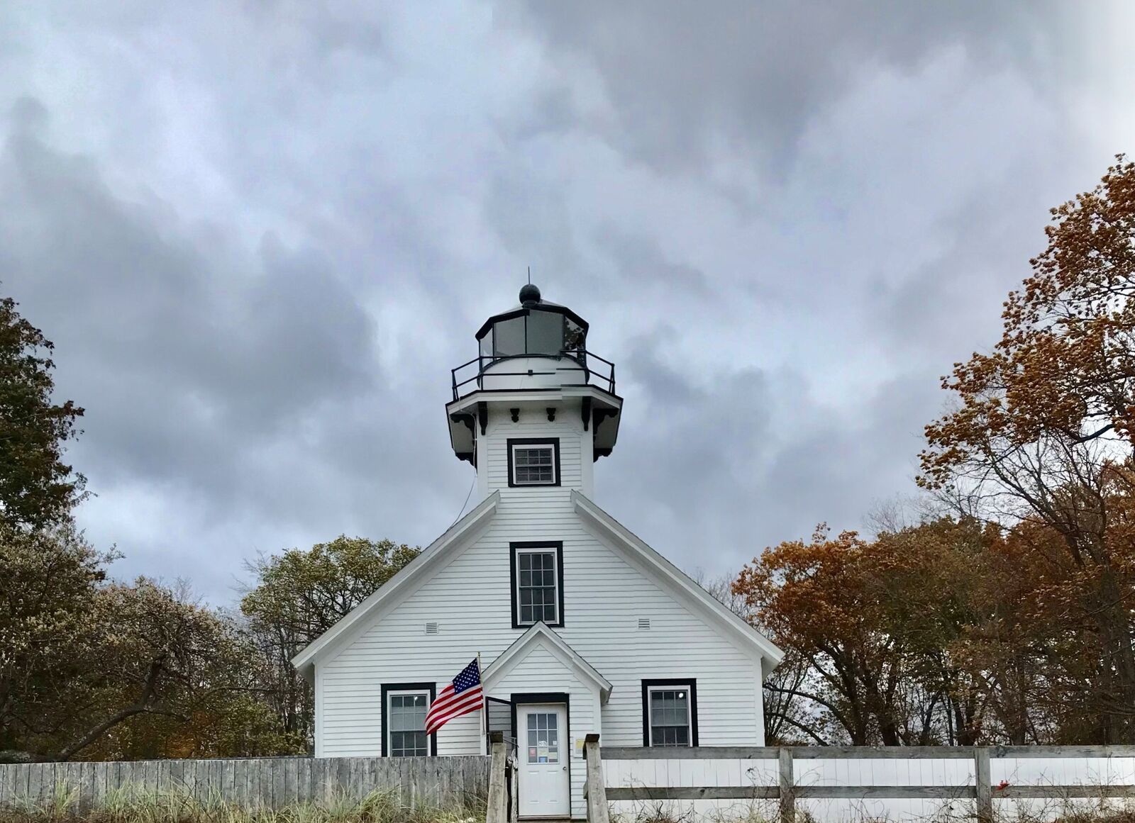
密西根州南島(下半島)東部,隔伊利湖及休倫湖,與加拿大相望。後南至北依序是伊利湖、底特律河、聖克萊爾湖、聖克萊爾河、休倫湖。
底特律河連接伊利湖及聖克萊爾湖,全長51公里。聖克萊爾河連接聖克萊爾湖及休倫湖,全長64公里。
2019年11月16日星期六,我們作了一次沿休倫湖岸小城一日遊。上午八時自Southfield家中出發,順696號州際公路東行接94號州際公路,約45公里,到達首站St.Clair Shores(聖克萊爾湖岸小鎮)。小鎮位於底特律東北21公里,是大都會區的衛星城市。人口不到6萬人,面積37平方公里,都市建築,道路規劃與底特律市迥然不同,繁榮喧譁與安逸寧靜成了對比。入湖邊公園,聖克萊爾湖周邊美景盡收眼底。次站前往聖克萊爾河西岸小鎮St.Clair,河對岸相距不到10公里,就是加拿大。(45)
從聖克萊爾湖岸小鎮順94號州際公路東北行約48公里,到達St.Clair(聖克萊爾)。
小鎮是聖克莱爾河上的一個漁港,以水産美食招攬遊客,河岸開放垂釣。每至冬季,河濱公園聚集成群大雁棲息覓食。瀏覽河邊美景約半小時,續程聖克萊爾縣首府休倫港(Port Huron)。
休倫港是五大湖中的著名湖港,人口三萬一千人,面積三平方公里。位居休倫湖南端,聖克萊爾河出口處,通過長約7公里的藍水大橋,連接加拿大安大略省的Point Edward市。
休倫港建立於獨立戰爭後不久,擁有歴史悠久的市區,木板路、燈塔、碼頭是港區的美麗風景。得天時地利,有兩家大造紙廠,及兩條貨運鐵路,由港區通往底特律延伸至芝加哥。年少時的愛迪生,家居此地,每天搭乘火車至底特律派送報紙,貼補家用。
在休倫港停留約一個小時,續程到頗有名氣的中國小城East China。(46)
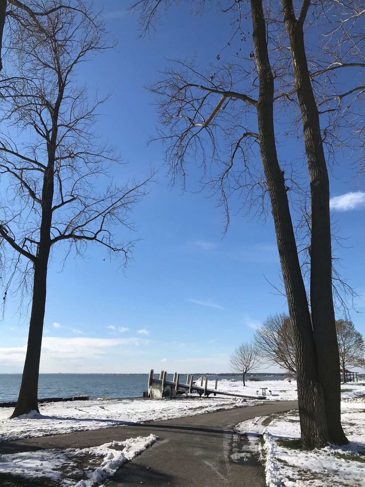
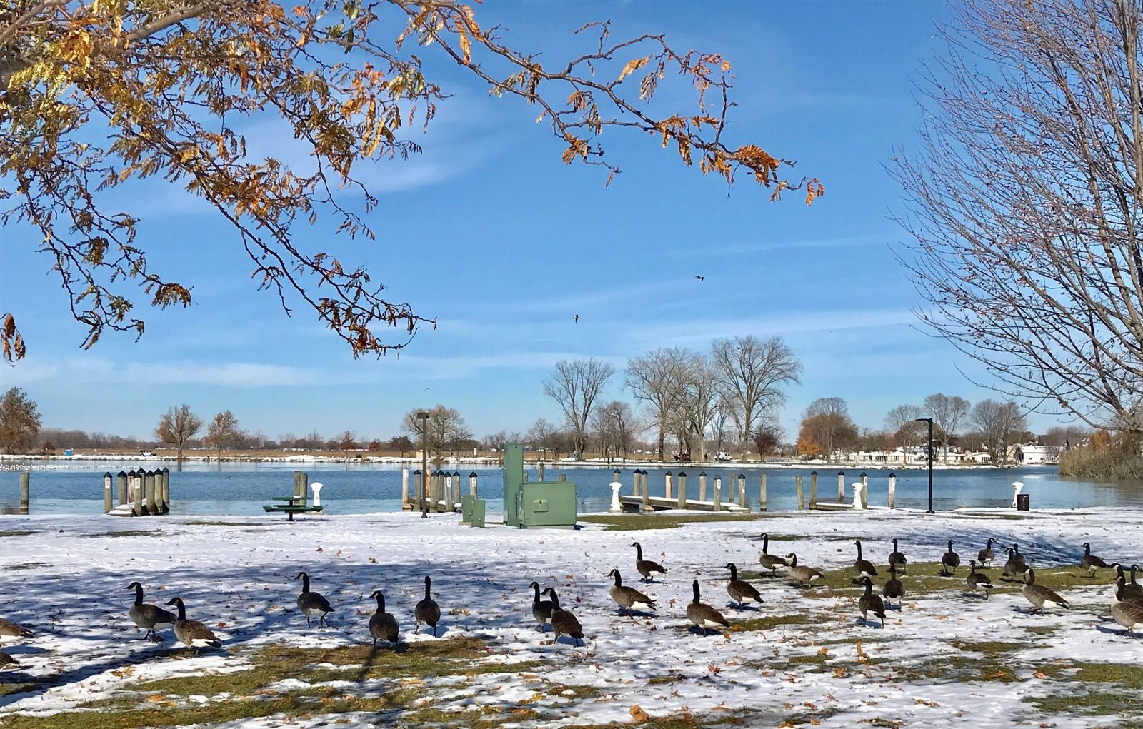
美國有三個鄉鎮級的城市,以China命名,不是因為歷史上曾有飄泊的中國人在此定居,純粹是機緣的巧合。
三個中國鎮分別在德克薩斯州、緬因州和密西根州。面積不大最多3平方公里,人口不超過5千人(2010年人口普查)。
美國獨立初期的13州,緬因還屬於麻薩諸塞大灣區,1820年因重劃行政區,自麻州分割出來。當時位於緬因州首府Augusta東北24公里的一個村落已具城市規模,地方首長提議以Bloomville為名升格為鎮。且因與鄰近小鎮Bloomfield地名相似,造成郵件派送困擾而駁回。
於是他想到自己最喜愛的一首由作曲家Timothy Swan(1758-1842)編曲配詞的教會聖歌《中國》,這個小鎮因此命名為《China》。
1830年有一位美國早期開拓者約翰克拉克船長(Captain John Clark)因職務關係,擕眷來到現在的密西根州聖克萊爾縣休倫港附近的一個村落定居,成了地方仕紳。
1834年村落擴大為鎭,酷似緬因州的中國小鎮,又是克拉克船長妻子的誕生地,因而命名為East China(華東鎮)。(47)
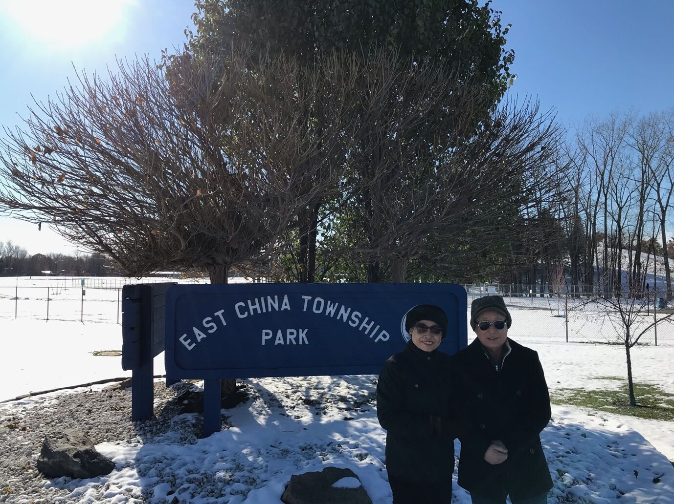
十八世紀中葉,密西根州就是德國、荷蘭先民移居的首選之地,兩國後裔佔全州21%,承襲祖先的生活方式,農漁牧參半。
East China小鎮,仍然保有德荷文化風情,鎮內沒有中國人居住,每天卻有不少中國觀光客到此一遊。我們路經小鎮公園,逗留約半小時,見園西有一斜坡,長約100公尺,呈30度角,有十餘位兒童,爬升坡頂,順坡而下,享盡滑雪之樂。
隨後順25號州公路,北上126公里,沿休倫湖岸,至休倫縣最北端奧斯汀漁港(Port Austin),遊覽燈塔縣公園(Lighthouse County park)的雪中美景。此座公園是密西根州十大觀光景點之一,每年吸引百萬人潮觀光。這裡有獨特的建築風格,白色的湖邊沙灘,縱橫交錯的步道及騎行小徑,鄰近的蔥郁森林,林中的紅色木屋,數處飛流直下的瀑布。山湖美景,彷如仙境。
這天氣溫零下攝氏十度,地面積雪兩呎,園區一麈不染,萬籟無聲,天地之間是如此純潔寂靜。
回程的路上經過一小漁村,湖邊的小餐館裡,座無虛席,湖面飄起雪花,居然有一漁夫,輕舟獨釣歸來,頗有一種擺脫世俗,清高孤傲,超然物外的感覺。(48,本篇完)
简介中原为英文的部分由 AI(Claude)于 2026 年 11 月译成中文,尚未经作者审阅。作者的中文原文保留繁体字。
三册原 PDF 共有 81 个字因字体缺字而无法显示,本页已根据上下文补上,可能有出入。
本文保留原文的繁体字。
第8篇:北美五大湖
遊記
2018年8月底,我與妻前往底特律,探望服務於福特汽車公司總部的小兒Anderson。每逢週末假日得地利之便,遊歴了美加兩國一些沿五大湖都市,包括芝加哥及多倫多。
2019年11月,再次去底特律,又去了克里夫蘭及沿湖一些城鎮景點,15個月內分兩階段,完成了遊覽北美五大湖的心願。
五大湖按面積大小順序分別是蘇必略湖、休倫湖、密西根湖、伊利湖及安大略湖。遍及美國八個州,紐約、賓夕凡尼亞、俄亥俄、密西根、印地安納、伊利諾、威斯康辛、明尼蘇達,以及加拿大的魁北克、安大略兩省。(1)
五大湖中的蘇必略湖,面積8萬2千平方公里,是世界第二大湖,僅次於裏海,也是世界第一大淡水湖,比中國第一大淡水湖鄱陽湖大21倍。
五大湖是貫通的,狹窄處由大河相連,湖面落差大的兩處由運河連接。一在紐約州的水牛城,由安大略湖通往伊利湖,落差182米,形成尼加拉瀑布奇觀。另一處在密西根州蘇聖瑪麗城,由休倫湖西行63公里,爬高176米至蘇必略湖,由Soo Locks運河相連,形成200公尺長20公尺高的平面瀑布。
五大湖的安大略湖,經由加拿大境內的聖羅倫斯河出海,流入大西洋。(2)
2012年3月1日,小兒Anderson接任福特汽車公司新職,入住底特律Riverfront Towers高樓公寓。
公寓位於底特律河河濱公園,眺望對岸加拿大溫莎公爵市(Windsor)近在咫尺。我與妻在此短暫住了一個月。
底特律河是伊利湖北上休倫湖的通道,全長51公里,最大河寛986公尺,萬噸以上巨型貨櫃輪,頻頻穿梭河中。入夜後的河面以及美加兩岸,高樓林立,燈光絢爛,景色宜人。
入住後的第一個週末,我們驅車前往底特律河河口風景區遊覽,首次看見浩瀚的伊利湖,有如大海一般。
伊利湖是五大湖中的第四大湖,面積2萬5千7百平方公里,水體體積480立方公里,海拔571呎,最大深度210呎。沿岸的著名都市有紐約州的水牛城,賓州的伊利市,俄亥俄州的克里夫蘭,密西根州的底特律。(3)
我與妻再度回到底特律,是在2018年8月,距離首次時隔六年。其間,Anderson至上海「福特汽車亞太總部」服務三年。
【加拿大多倫多】
2018年8月31日星期五,Anderson提早兩小時下班,回到位於底特律都會區南田市(Southfield)家中,一座28層樓的大廈公寓,與父母親會合,趕撘下午5時45分,由加拿大溫莎市前往多倫多的高鐵列車,展開嚮往多時的北美洲五大湖之旅首站安大略湖(Lake Ontario)北岸的多倫多市(Toronto)。
安大略湖是五大湖中最小的一個,面積1萬9千平方公里,加拿大境內的多倫多市,與美國境內的水牛城相距不到40公里。(4)
底特律與溫莎市位居底特律河東西兩岸,河寛最窄處僅672公尺,由一條跨河大橋及一座河底隧道相連,我們選擇由隧道前往。
底特律溫莎隧道(Detroit-Windsor Tunney)是全球唯一跨國河底隧道,雙向車道,車行舒適平穩,光亮如同白晝,年度流量900萬輛次。1928年由美加兩國建築,1930年11月完成,時經兩年四個月,同月開放行駛。
溫莎市是加拿大最南端都市,鐵公路交通樞紐,製造業、旅遊業及汽車工業中心,擁有悠久的歷史和多元文化。
我們通過加拿大移民局,順利進入市區,在觀光局取得一些加拿大相關資料,作為旅遊參考。在中央車站停妥福特SUV駕車,走入月台搭上前往多倫多的列車。(5)
加拿大的鐵路有兩大系統,一是太平洋鐵路,一是加拿大國家鐵路。我們搭乘的是國家鐵路溫莎市至多倫多這一段,路經London及Hamilton兩大都市,通過安大略省東南平原,全長372公里,車行時速約65英里,需時3小時45分鐘。
前半小時,列車沿著伊利湖中的湖中之湖(Lake St.Clair,聖克利爾湖)行進,沿途農舍鱗次櫛比,樹林果園鄉間小路隨處可見,花木扶疏美景如畫。隨後所見,是一望無垠的小麥田。
小麥是加拿大的主要農產品,品質媲美美國,安大略省是最大産地。分春麥及秋麥兩種,實施輪耕。春麥秋初收獲,秋麥夏末播種。
Anderson是攝影愛好者,眼明手快,在列車行進中撲捉到一張珍貴的照片。大平原裡,一邊是收成後的麥田,一片金黃。另一邊是青翠的麥苗,一片蔥綠。中間還有一棵大樹,涇渭分明,隱約可見遠方的農舍,畫面凸顯出大地萬物世代交替孳生不息。
此景此情,我哼了一首1788年英國詩人洛伯特伯恩斯(Robert Burns 1759-1796)作曲譜詞的蘇格蘭民謠《當我走過麥堆》,Anderson居然會完整的,將原曲唱了出來。歌詞中譯是:如果是我遇見了你,閒行過麥堆。如果你求我親吻,要不要逃避。雙雙情侶相依相偎,人說我不解。許多年少含笑追陪,當我走過麥堆。
晚間9時15分,列車駛進多倫多中央車站,又是另一番高樓林立,車水馬龍的都市景色。(6)
多倫多是安大略省的首府,也是加拿大第一大城,位於安大略湖西北岸,面積630平方公里,湖岸線46公里,緯度與波士頓相當,2011年人口普查時已達261萬人。
多倫多的名字,來自印地安語,意思是「相遇的地方」,據說兩支印地安部落,由東西兩岸向內陸發展,在此相遇。原是一個荒涼的谷地,開拓者保留其天然壯麗的山湖地形,18世紀以來配合著人工的建築和現代化的設施,努力建設成加拿大的首善之都。上世紀八十年代,還是加拿大第二大城,僅次於魁北克省的蒙特婁市。
多倫多地域遼闊,面對煙波浩瀚的安大略湖,市容整潔花木扶疏,家家戶戶種花養花,全市大小公園有十餘處,令遊人留連忘返。
我們在多倫多停留兩天兩夜,二十餘處景點不能逐一遊覽,擇其二三必遊之處,作深度之旅。(7)
我們下榻的飯店近多倫多大學,位居皇后公園及中國城的中央位置。用完飯店提供的早餐後,首個出遊的景點就是皇后公園。
1860年英國威爾士親王愛德華,為其母親維多利亞建築了這座北美洲第一個市立公園,當年9月11日開放,佔地0.69平方公里,園內有大面積的草地和高聳的森林,種植四季分明的不同花卉,更是賞楓的好去處。步道縱橫其中,寵物可隨主人同行。愛德華七世的雕像莊嚴威武,是園中的聚焦之地,吸引許多遊客攝影。
隨後我們步入多倫多大學校園,面積有半平方公里,創建於1827年,是加拿大排名第一的大學,世界排名在20名之內。學術研究鼎盛,是一所世界著名的科研大學,發表的科研論文僅次於美國哈佛大學。
中午在中國城用餐,這裡的唐人街建成於1900年,晚於溫哥華,以美食聞名,頗富盛名的皇后魚湯米線煲粥,既綿又香又滑,可謂人間美味。餐後,趕往碼頭搭乘渡輪至安大略湖中的湖心島公園(Centreville Amusement Park)遊覽。(8)
我們由傑克雷敦渡輪碼頭(Jack Layton Ferry Terminal)搭船前往南方三個離島中的中央大島(Centre Island),作一次午後遊。中央大島就是一個大型花園,名為Centreville Amusement Park(森特維爾喜悅公園),面積約兩平方公里,是安大略湖中的一顆珍珠。公園處處樹木林立,鳥語花香。步道四通八達,連結小河木橋沙灘。餐廳、咖啡座、禮品店集中管理,分散碼頭兩側,整齊清潔井然有序。不分平日假期,遊客川流不息。
數處大草坪四季維持綠色,遊客席地而坐,遊戲野餐,歌舞齊歡。高聳的榆樹、欅樹、銀楓、鐵杉,圍繞草坪而植,北美黃鶯、紅雀棲息其上,鳴聲動聽悅耳。步道兩旁花圃,種植玫瑰、海棠、鳶尾、藍星、野薑花,花香四溢。等距離設置木質長型背椅,供遊客歇息。
有一人工蓄水湖,約五公頃,四週黑柳、紅楓、沙木成蔭,環頸潛鴨結隊湖邊戲水。如此湖中有島,島中有湖的美景,還是首次遇見,讓人流連忘返。(9)
進入九月的多倫多,白露之前處暑之後,陽光沒有盛夏的熾熱,卻有初秋的暖和。我們穿過花叢走過樹林,來到南岸的Centreville Island Beach長約200公尺的沙灘,一輪夕陽晚霞滿天。
湖鷗盤旋藍天,眼明身㨗俯衝湖面,瞬間魚兒入口,時而繞飛遊客,時而佇立礁石。
遠方的貨輪,在落日餘暉下,緩緩入港。回首北望花木夾道,南觀湖面波光粼粼,兩景相眏互成美景,身處其中氣爽神清。
在湖風吹拂下,搭上回航渡輪,回望湖中之島,霞雲飄浮,恍如幻境,更添無限詩情畫意。(10)
多倫多的夜生活豐富多彩,酒吧、夜店、MTV、歌廳、舞廳、俱樂部、夜總會多達30餘處,媲美紐約,更甚溫哥華、蒙特婁。
旅館推薦一家頗富盛名的夜店,名為Toronto Urban Adventures (多倫多市區探險),去體驗一回豐富多元,值得回味的啤酒行程。
室內設計既雅典又現代,觀光客來自世界各地,除圍坐吧台外,另設舒適桌椅,任君選擇。
店內提供加拿大Molson Canadian系列啤酒,也有世界各國名貴紅酒、威士忌,還有茅台、五糧液。顧客各取所好,開懷暢飲。並有歌星駐唱,也可入池起舞,相得益彰歌舞並起,我們不虛此行。(11)
2018年9月2日星期日,多倫多行程中的第三天,上午到加拿大國家電視塔參觀,下午回底特律。
CN Tower加拿大國家電視台,位於多倫多市南,濱安大略湖西北岸,是多倫多市最高的建築物,高553米,次於634米的東京天空樹電視塔及600米的廣州電視塔,位居世界第三,比較第五名的上海東方明珠電視塔高85米,也高於台北101大樓45米。
台北101大樓兼具商業、金融、觀光功能,屬高樓建築。電視塔在於發射傳播,天線越高越好,設於城市中心最高點。
加拿大國家電視塔落成於1976年,每年吸收200萬以上人次參觀。我們排隊等候了一個多小時,才進場登塔。塔內有八部電梯,輸送旅客至各層樓。距離地面351米的360度旋轉餐廳觀景台,最有看點,坐於固定位置,遠眺近觀多倫多全景,盡收眼底,旋轉一周須72分鐘。
觀景台設置玻璃走廊,距離地面342米,俯瞰地面,如臨深淵戰戰兢兢。如要順利通過,必須鼓足勇氣,見一中年婦女與女爬行而過,驚叫連連,四周旅客為其鼓勵加油,好不容易到達終點。
觀景台上俯看聯合車站,有列車緩緩離站,下午我們結束多倫多之旅。列車再次通過麥堆,又見安大略湖湖邊的樹林農舍、小橋流水,在晚霞的照耀下,讓人迴盪沉思。(12)
小學時上常識課,中國地圖像一葉秋海棠,台灣像芭蕉葉。打開美國地圖看密西根州,像一隻面向自己的右掌心,大姆指右下方位置是底特律。大姆指與食指間是塞格洛灣(Saginaw Bay),屬休倫湖的一個內灣。掌面左方是密西根湖,與威斯康辛州為鄰。密西根湖西南端,是伊利諾州的芝加哥。
密西根湖面積5萬8千平方公里,蓄水量4千9百立方公里,在五大湖中是唯一全境在美國國內的湖。最大深度923英尺,次於蘇必略湖的1千332英尺。
【荷蘭小鎮】
9月8日星期六,我們起了一個大早,上午七時由Anderson駕車,出底特律城向西行,至密西根湖湖濱小鎮Holland,稍作停留後沿湖南下至芝加哥。
Holland位於密西根湖東南,是環湖105個鄉鎮之一,是觀光景點,進入小城恍如到了荷蘭。(13)
17世紀的荷蘭是海上強權國家,1648年脫離西班牙統治,獨立為「尼德蘭共和國」,勢力範圍已到達加勒比海。
美國獨立戰爭前,已有荷蘭人到達新大陸,大部分落戶加拿大東岸,另有一部分順安大略湖、伊利湖,穿越密西根平原,在密西根湖東南岸,從Grand Haven到South Haven,面積約500平方公里處定居下來。
經過近百年的經營建設,於1847年成為密西根州的一個行政區,命名為Holland,與其在歐洲的母國所在地名稱相同。(14)
人口只有3萬7千人(2018年),面積不足1平方公里的Holland,卻是美國最具荷蘭特色的小鎮。
鎮內的風車島花園(Windmill Island Gardens)佔小鎮面積五分之一,面對密西根湖,有如歐洲母國境內的愛塞湖(Ijssel Meer Lake)。花園環繞一條河川而建,河川通往密西根湖,有如阿姆斯特丹郊區的運河。
園內步道平坦,通往16處景點,路旁碧草如茵花香四溢,鳶尾、風信子、三色堇、雛菊絢麗多彩生機勃勃。
每年五月舉辦鬱金香節(Tulip Festival),花期長達四週,花苗來自母國的庫肯霍夫花園(Keukenhof)。花展期間園外傳統市集配合節日,表演母女成對的正宗荷蘭舞,荷蘭美食供應無缺,被《讀者文摘》評為最佳小鎮節目。
我們在花園西側商業街,參觀了荷蘭純手工藝品店,並在一家餐廳內享用了正宗的荷蘭Kibbeling(一種取材於密西根湖內的梭鱸炸魚)、焦糖煎餅、炸牛肉泥丸,並且品嚐了數種荷蘭乳酪,及乳酪蛋糕。
餐後我們駛往伊利諾州第一大城芝加哥,回望荷蘭小鎮,我們唱起鄧麗君的那首歌《小城故事》。「小城故事多,充滿喜和樂。若是你到小城來,收獲特別多。」。(15)
我們順著196號州際公路沿密西根湖走,轉94號州際公路,經印地安納州到達芝加哥。一路穿越平疇沃野、樹林農莊,遠眺湖景美不勝收。
芝加哥位於伊利諾州東北,密西根湖西南岸,面積約600平方公里,人口271萬(2010年全國人口普查)是僅次於紐約(817萬)、洛杉磯(379萬),美國的第三大城市。
芝加哥在南北戰爭結束時(1865年)人口已超過30萬,已經具備一個現代化都市的規模,因有廣大的腹地,又是由東向西開拓的中點站,就成了公路和鐵路的中心。芝加哥也是美國鋼鐵工業中心,穀類交易重鎮,冷凍肉類集中地。
在歴史上,芝加哥城曾經受過兩次浩劫,第一次是在1812年,印地安人攻城,殺得雞犬不留。第二次是在1871年,全城大火,木製房屋全毀。災後快速重建,嶄新的鋼筋水泥大樓,使得芝加哥比以前更加進步。新式的大樓結構,導引出紐約市摩天大樓的建築。
四至十月是旅遊芝加哥的最佳時期,九月初的芝城,就有氣爽沁心的涼意。
一旦進入冬季,寒風順著密西根湖南下,最低氣溫可達攝氏零下30度,國際機場外的體感溫度,在攝氏零下40度。在如此底溫下,並不影響芝加哥多元化的觀光地位。(16)
【芝加哥】
車行過了印地安納州州界,進入伊利諾州,SUV車上的時間顯示器,立即退後一小時。原來芝加哥列入美國中部標準時區,比紐約、費城、底特律,晚一小時。
我們由94號州際公路轉90號州際公路及41號聯邦公路,沿密西根湖北上,進入芝加哥市區。視線之內是一艘接一艘的帆船和遊艇,停靠在湖邊的專屬碼頭上,遠處還有大型的郵輪在行駛。另一邊是高樓林立,四線道上的各型汽車,在奔馳著,展現出這座湖濱都市的無限魅力。
芝加哥的河濱步道(Chicago Riverwalk)是觀光景點之一,步道沿芝加哥河而建,數座高架橋按歷史名人命名,橫跨兩岸。
我們的首個行程,就是在河濱步道上漫行,汽車行駛在高架橋上,水上巴士在河中穿梭。空中、河岸、水上,繪織成三度空間美景。(17)
首日第二站,來到芝加哥海軍碼頭(Navy Pier)。
芝加哥市東南,濱密西根湖西南角,有一座佔地20萬2千平方公尺的環湖碼頭,建立於1916年,當時是全球最大的碼頭,卻建築在一個內陸淡水湖邊。當年是美國海軍的一個培訓中心,與位於馬里蘭州安納波利斯(Annapolis)的美國海軍官校(USNA)齊名。
二次大戰期間,美國內陸各州生產的兵工物資,均由這座碼頭運輸至歐亞戰場。戰後逐漸淡出,但不失其光彩,改建成一座多功能的綜合型娛樂中心,包括遊樂場、兒童博物館、莎士比亞劇場、商店、餐館。2016年5月27日,更推出高150米全新的碼頭摩天輪,成為美國六座最高摩天輪之一。
娛樂中心內有數家遊輪公司,航經湖內岸邊各景點,白日晚間,美景盡收眼底。(18)
久聞芝加哥深盤披薩(Deep Dish Pizza)為芝城美食之一,遠近馳名。經下榻酒店推廌,就近赴頗具名聲的披薩店Giordanos晚餐。
此店屢次被紐約時代雜誌、芝加哥論壇報及NBC評為全美最佳披薩店之首,是芝加哥獨一無二的經典美食。每日營業前一小時,就有顧客排隊等候用餐。
1943年有一位來自德克薩斯州的美食家Ike Sewell開了一家披薩店,得水質、肉品、乳酪、果蔬上乘之優越條件,與廚師Riccardo研發了一種不同與傳統的芝加哥深盤披薩。以清徹的芝加哥湖水和麵,通常高約3英寸,直徑1英尺,狀似一個有深度的瓷盤。
此種披薩皮薄餡厚,有濃稠的蕃茄香,超足的起士用水牛奶製成,置於蕃茄醬下,以水果木為燃料,用明火壁爐烘烤。有香腸肉丸、明蝦活鮮、蔬果香料及各類綜合四種口味。
我們品嚐了一次頗有特殊口味的美國披薩,每當點食披薩時,就會想起那使人垂涎欲滴的芝加哥深盤披薩。(19)
第二天只安排半日行程,搭乘水上出租車(Chicago Water Taxi)遊密西根湖及芝加哥河,兩條線中的後者。起點火車站,終站中國城,中途有五個搭乘碼頭,酒店附近就有一處。這天因是星期假日,觀光客比平日多出一倍不止。
酒店建議改搭公立水上公共巴士前往,票價僅需出租車半數,所經路線相同,且座位寛敞,何嘗不試,我們選擇搭水上巴士前往。
巴士在河中平穏行駛,路過商業中心,穿越數座空橋,兩岸人來人往,商店、餐廳座無虛席,花開鳥語,咖啡香濃撲鼻而來。(20)
水上巴士終點站中國城,浦岸碼頭採中式建築,立即有回到家鄕的感覺。
登岸順石階而上,是一座佔地約兩英畝的開放式公園。路經一銅碑,中英文對照,記述芝城華僑集資建園事蹟及中國城建城歷史。
步行約15分鐘到達唐人街,見一座紅柱碧瓦中式牌樓立於入口處,正面中央有「禮義廉恥」楷書正體四字。其左有石造,樓高五層鼓樓一幢,建於1932年,是芝城最大華人社團安良工商會(On Leong Association)會址。
建於1890年代的芝加哥中國城,與舊金山華埠、紐約華埠、洛杉磯華埠,合稱為美國四大華埠。
芝加哥中國城縱橫四條大街及數條小街,城內的九龍壁、天下為公牌坊、十二生肖廣場,都是觀光客必遊景點。
最早移居芝加哥的華人,可追溯到1870年代,1868年清廷與美國簽署《博林干姆條約》,開放華人移民。1890年代初,在美華人已達30萬人。單就芝加哥一地,1990年時,大都會地區已有6萬8千人。(21)
芝加哥中國城的主街Wentworth Avenue(溫活大道)是唐人街的精華地段。筆直的道路兩旁,商店、餐館、參茸行、中藥舖、超市、雜貨店、同鄉會、公所林立。模匾招牌均以中英文正體書寫,橫式大多從右至左。
遠眺大街驚艷有一大樓,陽台升起美國及中華民國國旗,心中無限激動,原來是中國國民黨美中支部。1909年(清宣統元年)12月,孫中山先生停留芝加哥期間,在此成立同盟會芝加哥分會。民國32年(1943年)2月21日,蔣夫人宋美齡女士,訪問芝加哥,在此與僑胞、僑領歡聚。
蔣夫人在芝城安良工商會禮堂發表演說,講詞是這樣的:
各位同胞,今天得到機會,與各位相見覺得很是歡喜。我們祖國抗戰已經六年了,我們中國能夠抗戰六年,而且愈戰愈強,全賴兩種方法,一為軍械,一為精神。國內的軍隊以及民衆,使用武器去打擊敵人,你們發揮你們的精神,去擁護抗戰。過去你們努力捐輸,政府及國內的同胞,均時常想念你們。他日抗戰勝利,你們是有功的。現在我們的政府,國民黨,全國的軍隊,以及全國的民眾,均盡他們的能力,去從事抗戰工作。這次我們抗戰,是謀解決我們國家的命運,以求得到自由平等。
蔣夫人回國後不到十個月,於民國32年(1943年)10月10日,中英兩國宣佈,撤銷以往對華不平等條約。
我們再往側街步行,有一餐館名為「開飯」,頗為好奇,入內與老闆聊起命名緣由,我們聆聽了一段「文化大革命」吃大鍋飯的故事。
餐館邊街,有一長溜地攤,售賣蔬菜、水果、花卉,攤主席地而坐,就地叫賣,形成一條熱鬧美麗的風景線。
中午就在「開飯」用餐,結束了半日的中國城遊覽,回程再經荷蘭小鎮,買了一些荷蘭小吃,回底特律享受。(22)
密西根州既是工業州也是農業州,其生產的蘋果媲美華盛頓州,是美國繼華州之後的第二大蘋果生產州。擁有1150萬棵蘋果樹(2018年),總面積達3萬5千5百英畝。40%供應本地市場,其餘輸往美國26個州及海外10個國家及地區。
【果園之鄕Armada】
2018年9月15日星期六,我們選擇前往位於底特律市東北約25英里,人口不到1萬人的蘋果生產地Armada小城,去體驗一次採擷蘋果的樂趣。
車行約40分鐘,來到Armada西南方的Blake’s Orchard蘋果園,這裡是密西根州最具規模的果園,也是大底特律地區18處自摘(U-pick)式蘋果園中的最大一處。佔地80公頃,除了生產蘋果外,還種植櫻挑、南瓜及四季豆。(23)
這座自摘式果園採公園化企業化經營,果園面積佔總面積60%,其餘係各項硬體設施,包括一個停車場可容納200輛中小型車,一座綜合商場,內含餐廳、禮品店、系列蘋果出售攤位及一條蘋果汁生產線,可以很清楚的看到製造流程。顧客在第一時間,就能買到純度百分之百最新鮮原汁原味的蘋果汁。
另外在一處樹叢中,開闢了露天餐飲區,方便遊客休憩用餐。兒童遊戲區,緊鄰餐飲區。
園區出入口均為單行道,出口處係管制室,離園車輛須停車受檢,並過磅採擷物,計價付款後放行。
蘋果樹分類分區種植,每100公尺為一行,寛約5公尺,兩行之間有4公尺寛的道路,方便工作車輛行駛及觀光客步行採果。
每年春天大約三月春分過後蘋果花開,花有白色、粉紅兩種,盛開時一片花海,十分壯觀艷麗。
蘋果原産地在歐洲,屬薔薇科長年木本植物,若不修剪會高到五、六公尺以上。果園內的蘋果樹,都經過接木修剪,維持在二、三公尺,方便採收。
為了保證結出色艷味美的優質果實,通常不用粍時冗長的種子繁殖,改用截枝培土生長。
區與區間闢有寬約8至10公尺的道路,可將車輛停靠兩旁,方便遊客採摘。(24)
在回程的路上,Anderson講了一個種蘋果的故事:
兩百多年前,住在美國中部各州的英國移民們,都知道有一位名叫約翰查普曼(John Chapman1774-1845)的人,綽號叫蘋果籽姜尼(Apple seed Johnny)。
這位先生經常赤著腳,穿得破破爛爛,頭頂一個破舊的鍋子當帽子,帶着一隻小黃狗,背着一袋蘋果的種子,遊走於賓夕法尼亞、俄亥俄、印地安那、伊利諾各州農家莊院,用他的種子換點食物過活。但他主要的目的是,希望這個地區的農民都能普種蘋果,人人都有蘋果花可賞,有蘋果可食。
姜尼的蘋果子,是他費了很多年,從他自己種植的蘋果中擷取的。他走到哪裡,都會幫助農民種下蘋果種子,多年後成了蘋果樹,也建成了許多蘋果園。
姜尼當年種植的蘋果樹,至終雖然枯死,但其後代仍然開花結果。俗話說「前人種樹,後人乘涼」,但對姜尼而言,可說是「前人種樹,後人吃果,」。
晚間我們在一間創立於1958年,聞名底特律地區,已有60多年歴史的墨西哥餐廳(Mexican village Restaurant)享用了一次正宗墨西哥餐點。9月22日,我與妻搭乘達美航空班機,返回洛杉磯家中,結束了29天的底特律探子行程。(25)
第8篇:北美五大湖
遊記(續)
事經一年一個月後的2019年10月18日,我與妻再度回到底特律,探望Anderson,預計停留五個禮拜,除了平日的正常作息外,每逢週末假日,安排至密西根州境內的大湖區景點自駕遊覽。
【德國小鎮】
到達底特律的第二天10月19日星期六,我們選擇距離家居,車程一個半小時,96英里的德國小鎮Frankenmuth,密西根州著名景點作一日遊。
這是繼2018年9月15日後,第二度來到這個密州東南方小鎮。前次由於行程的安排,我們只在這個小鎮,創建於1945年全年營業,有著全球最大最具規模的聖誕禮品銷售中心Bronner’s Christmas wonderland (布朗納聖誕樂園)停留了三個小時。這次舊地重遊,將對這個小鎮作更進一步的了解。(26)
1845年有15名德國傳教士,來到這個密西根州Frankenmuth (法蘭克慕絲)地方,向原住民傳播福音。九年後的1854年,教士們與當地居民,向政府申請建鎮獲准,隨後大批德國人移民至此。把這裡逐步建設成巴伐利亞式的德國小鎮,經過一個半世紀的經營,除了保留母國的傳統風格外,更添加了現代化的建築元素。
建鎮後第三年(1856年),第一家結合旅館和餐廳的Exchange Hotel開業,之後數家旅店客棧陸續建成。
1888年一名企業家岑德先生(Zehnder),將其收購,改為純餐館,命名為Zehnder’s of Frankenmuth,以出售滑、香、嫩、汁多、皮脆的炸鷄搭配啤酒聞名。1928年時,一套炸雞套餐為美金一元。1975年5月11日的母親節當天,創下自開業以來,有4300人惠顧的紀錄,當年一份套餐為美元5元2角5分。
我們在此用餐時,已改為炸鷄甫菲,一客索價美金28元9角5分。
1936年10月,這個小鎮第一盞霓虹燈啓用,至今仍然閃爍,在距離這家炸鷄店不遠的主街Main St上。(27)
德國小鎮面積只有2.79平方公里,卻有86家購物商店,17間酒店旅館,38間餐館,6座教堂,1座軍事航空博物館及1座歴史博物館,更有一處全球馳名規模最大的聖誕禮品銷售中心。如要逐一遊覽,至少要用一週時間。
在南主街South Main st上,有一處綜合商場,從時裝、精品店、畫廊、髮型屋到藝品店、餐廳、食品製造坊,應有盡有。商場內的糖果屋和巧克力工廠,更是兒童們佇足最久的地方。同一條街上,有一家製造出售各種乳酪品包括蛋糕在內的起司屋Cheese Haus,生意興隆是觀光客必到的地方。這個Frankenmuth德國小鎮,人口不到7千人,其堅實的經濟基礎,除了觀光產業外,還包括磨坊、保險、金融及製造業。(28)
這座密州Frankenmuth小鎮,其建築物包括商店、旅館、民宅在內,大多採用巴伐利亞風格,更有著飲食、服飾、風俗習慣、節慶禮儀等傳統文化,因此又稱為「密西根的小巴伐利亞」。
巴伐利亞是德國東南方的一個邦,面積佔全國五分之一,人口稠密,首府是慕尼黑。
小鎮每年超過300萬觀光客造訪,最具代表的一間旅館Bavarian lnn Lodge(巴伐利亞小屋旅館),位於河濱廣場(River Place)內,旅館外有露天咖啡座,並有表演台,每天都有歌唱、舞蹈、彈奏及動物表演,馬是主角。
卡斯河(Cass River)呈S型由西北向東南,流經小鎮,有兩座橋樑橫跨東西兩岸。其中建於1979年的一座全木質有蓋廊橋,長約100公尺,兩側有行人道,也是觀光馬車必經的一座橋。橋下河水清澈緩緩流淌,河面有遊船穿梭,2004年建造的水上樂園就在不遠處,構成美麗風景。為了因應觀光需要,1984年在小鎮西南方,開闢了一個具備國際標準的高爾夫球場,經常舉辦州際或國際比賽。(29)
我們在木橋的行人道上,往返走了一趟,由廊橋向外眺望有著夢幻般美景的小河,這是歷年來旅遊首次的體驗。
在橋內遇見一輛觀光馬車,載著六名乘客,像是一家人。一名小朋友而我們揮手致意。秀蓮現學現賣,也揮手回敬,說了一聲Guten Tag(德語:妳好)。
時近黃昏,我們順著主街走,再作一次商業區的巡禮。在Rosstal st與Cass st街口,一家頗富盛名的冰淇淋店(Jaami’s ice cream and Treats)佇足排隊入內,買了三份不同德國口味的冰淇淋。一份巧克力醬配櫻桃,一份柏林啤酒冰淇淋,及一份慕尼黑白香腸冰淇淋,確實爽口名不虛傳。
隨後到了停車場上了SUV,車行十分鐘,二度進入布朗納聖誕樂園。在這座佔地五英畝,有著三個出入口,十二個銷售區的全球規模最大的聖誕物品銷售中心,停留了兩個小時,選擇了一個特大號的紅絨布聖誕蝴蝶結及一些裝飾品,帶回洛杉磯的家,增添一些聖誕節的熱閙氣氛。
室外燈光閃爍,覆蓋了整個小城,我們走向回家的路上,如有機緣我們會再來。(30)
2019年10月27日星期日,我們選擇了在密西根州地圖上,只有一個小點的超小市鎮Tipton(蒂普頓)遊覽。
蒂普頓西南郊區,有一座山湖兼具景色優美,宛如世外桃源般的隱湖花園(Hidden Lake Gardens),這裡又是密西根州立大學的農業實驗林地所在。
【Tipton隱湖花園】
Tipton是密西根州南方萊納維郡(Lenawee County)中的一個鄉村級小鎮,該郡與南方的俄亥俄州為鄰。
由底特律開車向西南方行駛,約90分鐘可達。
隱湖花園依山而建,有產業道路連結各林區,樹木高聳遮天,各類植物近千種,花團錦簇萬紫千紅。
這座教學實驗林場面積約1.2平方公里,兼具植物育種、作物生態、森林保育、土壤改良、植物代謝等研發工作。
山林之中的隱湖,是遊客必遊景點,設有野營區,可垂釣,闢有環湖步道,漫步其中享盡山林碧湖美景。我們更在森林之中,聽鳥鳴聞花香,吸取山嵐紫氣,修得心曠神怡一日遊。(31)
11月2日是我們2019年到達底特律的第三個星期六,選擇跨州自駕到俄亥俄州兩個濱伊利湖(Lake Erie)都市Toledo(托萊多)及Cleveland(克里夫蘭),作一夜兩日遊。
Toledo位於俄亥俄州西北部,由底特律順75號洲際公路前往,約一個半小時車程可達。1833年建城,是俄亥俄州第三大城。美國名牌汽車Jeep,1941年在此設廠生產。
【Toledo】
Toledo原屬密西根州領地,1837年托萊多戰爭後,併入俄亥俄州,是一個集科技、醫療、農耕、美食、音樂、體育、觀光於一體的美國中型都市。
我們穿過市中心來到城南,一座建於18世紀末頗具規模的農夫市場佇足參觀,市場保持著傳統買賣方式,貨源充沛,價格低於超級市場,除可零購外,每日清晨拍賣叫價,更是熱鬧登場。這天氣溫只有攝氏三度,但絲毫沒有影響各攤位交易熱絡的氣氛。
在此停留了近兩個小時後,順90號公路繼續下一個行程,俄亥俄州第二大城克里夫蘭。
克里夫蘭因伊利運河(Erie Cannal)的開通,鐵路的鋪設,帶動了鋼鐵、汽車、飛機零配件等製造業的興起,因此克里夫蘭成為美國大湖區貨物輸出的最大轉運港。
伊利運河全長584公里,是美國國內最長的一條運河,將紐約州內的哈德遜河與伊利湖連結在一起,提供了美國東海岸與中西部內陸的快速通道。
到達克里夫蘭已是下午三時,按行程先去Downtown,參觀創立於1912年,久仰已久的西側市場(West Side Market),並夜遊市景。(32)
【克里夫蘭】
西側市場位於克里夫蘭市中心的西南,蜿蜒的凱霍加河(Ouyahoga River)流經其東北,場區包括一條大道三條小街,是克里夫蘭的古蹟也是地標,室內攤位分門別類井然有序。室外一條街是街頭市集,也是著名的跳蚤市場。
離開西側市場後,順20號聯邦公路,向東行約半小時,到達克里夫蘭高地的小義大利城,去享受一次義式美食。我們入座一家義大利披薩店,點了一份香腸披薩,一盤康諾利卷餅,每人一杯米蘭濃咖啡,算是此夜的晚餐。走在這座小義大利城的小街上,霓虹閃爍,綠白紅三色旗飄揚,牆壁上的塗鴉藝術美得讓人目不暇給,不時傳來義大利的民歌,更讓人陶醉。彷彿置身在羅馬、佛羅倫斯、那波里的街道上。(33)
第二天11月3日星期日,我們選擇兩個景點,搖滾名人堂(Rock and Roll Hall of Fame)及克里夫蘭港(Port Cleveland)。
港口離下榻的酒店不遠,事前得到酒店協助,申請到入港證,在港內作了一次不下車的湖港駕遊。
克利夫蘭港內有12座碼頭,沿著伊利湖的凱霍加河南岸而建,緊鄰市區,有如台灣的高雄港。它是美國境內大湖區芝加哥、底特律、克里夫蘭三大港口之一。
1855年密西根州北部的聖瑪麗運河開航,打通了休倫湖與蘇必略湖的通道,克利夫蘭港成為中西部各州木材、煤、銅、鐵礦砂、農產品的轉運中心。
接續到了Bridge Ave上,佔地九英畝,樓高三層,成立於1986年的搖滾名人堂參觀。這裡介紹了搖滾音樂興起的背景,對全球音樂文化的影響,甚至美國外交政策的運作。
這裡可以看到包括貓王艾維斯普里斯萊、麥克傑克遜在內近60人搖滾樂歌手的生平事蹟,及披頭四樂團、漂流者組合、至上女聲合唱,超過30餘團的錄影表演。我曾在《覊旅雁鳴》一書內,寫了一篇名為「克里夫蘭搖滾行」的文章,詳細地介紹了這座「搖滾名人堂」。
在名人堂內停留了三個小時後打道回府,路過Hyatt集團旗下的克里夫蘭凱悅酒店。
酒店位於市中心一個具有歷史價值的拱廊商場大廈內,面對東四街娛樂區,我們入內享受了一次近一個小時的下午茶時間。欣見兩對新人,在酒店拱廊拍攝婚紗照,我們驅前致意祝福。新娘滿面笑容,直說謝謝。
回程在75號公路州界加油站,為座車加油。沒想到公路兩旁,俄亥俄州境內,各有一座建築設計一模一樣的旅客休息站,除了加油站外,還包括旅館、超市、餐廳、休閒大廳一系列設施,令人驚艷。
這座由俄亥俄州民間投資的企業,頗有名聲,美國其他各州罕見。(34)
打開密西根州的地圖,明顯地看出是由兩個半島組成。像一隻面向自己的右掌心,托起一條魚。上半島是魚,下半島是掌心。密西根州也是美加五大湖中,唯一被其中四個湖圍繞的州。
Anderson有一位自小生長在密西根州上半島的同事,介紹他的故鄉是一個充滿湖島美景如畫般,鮮為人知的好地方。很多土生土長的密西根人,一生中也沒有去過一次,實在無福消受,惘度一生。
【密州上半島】
2019年11月8日星期五,我們作了一次三日兩夜的密西根州上半島探訪之旅。目的地是美加邊境的Sault Ste.Marie小鎮,全程542公里,分兩段前往,週五晚留宿下半島最北小城Mackinaw City,次日續往美加邊境。(35)
下午五時自家中出發,順75號公路北上,途經12縣3市,中途休息兩次,於晚間10時30分到達Mackinaw City,下榻旅館Holiday Inn。
這天逢24節令立冬日,一路上難得看到北方美國的天氣變化,越往北走,越有寒意。
一天之內,山楓、毛櫸、槭樹、銀杏的葉子,由綠變紅,再轉紅黃交織,再到黃葉滿樹林。
農舍、麥田、河川、橋樑、樹林,交替出現。這趟密州北島探訪之旅,讓人心曠神怡,亳無倦意。
進入旅館房間,喜見窗外雪花飄起,在路燈照耀下,晶瑩剔透冰潔如玉,像天上仙女撒下的銀花,鋪滿了整個大地。(36)
此夜見皚皚白雪超然純潔,更見傲雪枝頭醉人清香。窗外松柏伴隨風聲起舞,頗有「夜深知雪重,時聞折松聲」一般的感受。
雪停了天也亮了,是個晴朗的好天氣,早餐後續往下個行程。仍然順75號公路通過麥基諾大橋(Mackinac Bridge)到達上半島的聖伊格納斯城(St.Ignace)。
麥基諾大橋於1954年5月7日開工,1957年11月1日落成。南北縱跨麥基諾湖峽(Straits of Mackinac),湖光景色美不勝收。是美國國內第一座懸索式吊橋,長8038公尺,橋上淨空61公尺,橋下47公尺,氣勢雄偉壯觀。
麥基諾湖峽又稱麥基諾水道,大橋通車後代替了兩岸渡輪,使兩岸雙城成了觀光勝地。水道東鄰休倫湖(Lake Huron),西接密西根湖(Lake Michigan)。兩湖之內有大小島嶼100多處,美景不亞於印尼巴里島和泰國普吉島。
兩岸雙小鎮近在咫尺,不足15公里,卻有五星級酒店11處,汽車旅館20多處,更有湖邊小木屋出租,每年四至十月是觀光旺季。麥基諾島上的州立公園(Mackinac Island State Park),是國家風景步道的一部份,旺季遊客如織,渡輪客滿即開,航程20分鐘,舒適便捷。(37)
上半島的聖伊格納斯城,至75號公路終點,美加邊境的蘇聖瑪麗城(Sault St.Marie Michigan USA),與一水之隔,同名的加拿大蘇聖瑪麗城(Sault St.Marie Ontario Canada)遙對相望。
Sault是法文瀑布之意,由休倫湖進入蘇必略湖,要經過一條63英里長的聖瑪麗河(St. Marys River),兩湖之間最大水位落差21英尺,有一段長約900英尺高19英尺的瀑布,相當壯觀,但不利航行。63英里的一條河,由休倫湖上坡至蘇必略湖,要爬坡176米。
一個費時4年,由法國人設計,美國企業施工建築的梯階水閘(Soo Locks),於1855年落成,船隻可以繞過瀑布,順利平穩通過兩湖。相較以同樣原理建築,貫通太平洋與大西洋的兩洋巴拿馬運河,通行早了58年。
到達密西根蘇聖瑪麗城,已近中午,第一時間先到Soo Locks運河水閘參觀,正好有一艘加拿大籍貨櫃輪,通過水閘。(38)
在運河管理中心,得到了一些參考資料,居然水閘操作方式和巴拿馬運河大致相同。感佩歐美國家河運工程科技的進步,遙遙領先其他各國。
隨後繼續行程,經蘇聖瑪麗國際大橋,跨越聖瑪麗河,到達對岸的加拿大蘇聖瑪麗城。
這座國際大橋,1960年9月16日動工,1962年10月31日啓用,全長4500公尺,由兩個拱式架橋連貫而成。
兩國同名雙城,一河之隔相距不到10公里,車程約10分鐘,通關手續便捷。每日往返客貨車,超過萬輛,是美加兩國邊界貿商交易的對口小鎮。
小鎮市容整潔,馬路寛敞,商店林立,一片繁榮景象。
【加拿大小漁村】
借重餐館老闆指引,順加拿大550號省際公路,車行15分鐘,安大略省西北角,有一名為Cros Cap的小漁村,是觀看蘇必略湖美景的最佳位置。Cap是法語,海角、岬角之意。
此段路程雖短,卻見公路兩旁楓葉紅紅,積雪壓枝。松鼠枝上飛躍,野兔雪地奔跑,大雁池邊覓食。佇立漁村碼頭,北眺蘇必略湖一望無垠,南望對岸美國近在咫尺,湖光美景盡收眼底。(39)
加拿大安大略省西北部,有條南北走向的亞加華河(Agassi River),經過1億2千萬年,將一座高山侵蝕成景致壯麗的亞加華峽谷(Arawak Canyon)。
由安大略省Sudbury城乘坐觀光火車西行約3小時,穿越茂密的森林,翻山越嶺,到達谷頂。觀賞谷底急湍及滿山滿谷變色的楓葉。置身如此迷人至極的天然美景,必定讓人心曠神怡,流連忘返。
亞加華峽谷在蘇聖瑪麗小鎮北約20英里,可惜此行事前未能訂妥旅店,加上火車一票難求,遺憾未能成行,留待下次光臨。
離開小鎮已是下午三時,回程再經國際大橋,入境美國蘇聖瑪麗。大雪初霽,天高氣爽,來到運河政行中心不遠處的一家原是印地安人的客棧,名為Ojibway的觀光飯店。1927年被Ramada旅館集團收購,保留原始印地安部落建築風格,擴建為現代化的觀光酒店。1992年,老布希總統夫婦,曾在此渡假。
我們入內用繕,算是下午茶兼晚餐。餐廳經理,一位年近60笑容可掬的中年婦女,引導我們入座於落地玻璃窗前最佳位置,窗外雪景盡收眼底。
我們喜出望外,正好坐在老布希總統夫婦,當年入座用餐的這張桌枱上。傾聽這位引座女士,述說著老布希一家人,當時在此的歡樂軼事。
晚間約八時,再次駛過湖峽大橋,回到南島Mackinaw City,原留宿旅店Holiday Inn。(40)
駛經湖峽大橋,橋上居高臨下,見湖邊點點木屋嵌入翠柏高林之中,高林之上覆蓋白雪,白雪之下,枝葉蔥蘢。
湖岸木屋波光湖影,韻緻天成,有如置身仙境。
入夜後風雪依舊,鏟雪車出動,道路暢通無阻,車輛仍然奔馳,觀光客開始享受夜生活。附近賭場,通宵達旦,紙醉金迷。
小鎮月朦朧、雪䑃朧,在街燈照射下,雪花片片,瀟灑飄揚,一夜之後積雪盈盈,大地一片皚白,興致所至,踏入層層厚雪,留下深刻印象的雪地足印。
我們駛往回程的路上,計劃下一週的行程,沿休倫湖(Lake Huron)密西根州南島小城之旅。(41)
上午九時離開Mackinaw小鎮,沿密西根湖東北湖岸南下,途經密州數個著名景點,最終抵達胳臂半島(Arm Peninsula)頂端的Mission Point Lighthouse燈塔眺望湖景。
我們順31號聯邦公路南行,首站到達小特拉佛斯灣(Little Traverse Bay)東南角的佩托斯基城(Petoskey)。
小城的湖灘呈金黃色,碧藍色湖㡳藏有五彩繽紛的珊瑚石,被稱為Petoskey Stone(佩托斯基石),也是密西根州的州石。
31號公路經過城西,緊鄰湖灘,我們被美景吸引,至湖濱公園停車,漫步湖灘至東區漁夫碼頭,欣賞這灣區小城的湖光景色。
公園內滿布白楊、楓槭、白松。白松(White Pine)也是密西根州的州樹,常有知更鳥棲息樹上,鳴聲宛轉美妙,毎至清晨時刻開始唱歌。知更鳥(Robin),也是密西根州的州鳥。(42)
離開佩托斯基小鎮,順31號聯邦公路西南行27公里,到達密西根湖與南半島內陸小湖Like Charlevoix交滙處,人口僅3000人,面積不到半平方公里的沙勒沃伊(Charlevoix)小城。
小城雖小,卻是五大湖地區美國湖岸警衞隊(US Coast Guard)的基地,也是密西根湖的港口城市。1852年由漁民建立,1871年設鎮。森林佔小鎮面積40%,佔盡林湖之美。
公路貫穿小鎮大街,街道兩旁路樹高聳排列整齊,人行道寛敞約4公尺,是商店一條街。餐館、咖啡屋、藝品店、銀行、精品店一應俱全。街對面一路之隔,是湖岸公園,近接漁人碼頭,遠眺漁夫小島。
精品店不乏世界名牌服飾、化粧品、皮包、珠寶、首飾,且價格公道,主要招攬觀光客。
小鎮以東山區林中,是狼獾棲息地,狼獾(Wolverine)屬鼬科動物,已列入保護。密西根州也稱狼獾之州(Wolverine State),美國大學體育協會(NCAA)屬下的密西根大學傳統勁旅,也以狼獾命名(Michigan Wolverine)。(43)
離開沙勒沃伊,沿大特拉佛斯灣(Grand Traverse Bay)東岸,車程85公里,到達大特拉佛斯縣首府Traverse City。小城人口1萬1千人(2015),卻是密西根湖重要港口之一。北、西兩面被大湖圍繞,東、南兩面是起伏綿延的森林山丘。秀麗旖旎的風光,成為五大湖區最受歡迎的旅遊景點之一。
美國國家廣播公司(ABC)電視節目Good Morning America(早安美國)觀衆,數度將這座小城評為「美國最美麗的地方」。
大特拉佛斯縣周邊地區,也是美國最大的櫻桃産地,全國75%的櫻桃,由此地輸往美國國內及海外。每年七月的第一個星期,是這裡的櫻桃節。
【半島尖端的燈塔】
SUV在小城逛了一圈,上37號州際公路,前往深入大特拉佛斯灣中的Arm Peninsula(胳臂半島),因形如手臂而得名。長32公里,平均寛度3公里,公路兩旁大面積種植櫻桃、蘋果、葡萄、雪梨。果園、農舍、酒廠形成了一連串的田野美景。
半島尖端的Mission Point Lighthouse燈塔,建於1870年,是沿密西根湖106座燈塔中,最有名氣規模最大的一座,除了造型特殊外,還有燈塔博物館,遊客可以登塔眺望大湖美景。塔區緊鄰森林公園,數十公尺的原始松柏,聳入雲霄。當日氣溫攝氏零下二度,但遊客不減,凜冽寒風中,遠眺壯闊湖景,此行頗有收穫,留下深刻記憶。(44)
密西根州南島(下半島)東部,隔伊利湖及休倫湖,與加拿大相望。後南至北依序是伊利湖、底特律河、聖克萊爾湖、聖克萊爾河、休倫湖。
底特律河連接伊利湖及聖克萊爾湖,全長51公里。聖克萊爾河連接聖克萊爾湖及休倫湖,全長64公里。
2019年11月16日星期六,我們作了一次沿休倫湖岸小城一日遊。上午八時自Southfield家中出發,順696號州際公路東行接94號州際公路,約45公里,到達首站St.Clair Shores(聖克萊爾湖岸小鎮)。小鎮位於底特律東北21公里,是大都會區的衛星城市。人口不到6萬人,面積37平方公里,都市建築,道路規劃與底特律市迥然不同,繁榮喧譁與安逸寧靜成了對比。入湖邊公園,聖克萊爾湖周邊美景盡收眼底。次站前往聖克萊爾河西岸小鎮St.Clair,河對岸相距不到10公里,就是加拿大。(45)
從聖克萊爾湖岸小鎮順94號州際公路東北行約48公里,到達St.Clair(聖克萊爾)。
小鎮是聖克莱爾河上的一個漁港,以水産美食招攬遊客,河岸開放垂釣。每至冬季,河濱公園聚集成群大雁棲息覓食。瀏覽河邊美景約半小時,續程聖克萊爾縣首府休倫港(Port Huron)。
休倫港是五大湖中的著名湖港,人口三萬一千人,面積三平方公里。位居休倫湖南端,聖克萊爾河出口處,通過長約7公里的藍水大橋,連接加拿大安大略省的Point Edward市。
休倫港建立於獨立戰爭後不久,擁有歴史悠久的市區,木板路、燈塔、碼頭是港區的美麗風景。得天時地利,有兩家大造紙廠,及兩條貨運鐵路,由港區通往底特律延伸至芝加哥。年少時的愛迪生,家居此地,每天搭乘火車至底特律派送報紙,貼補家用。
在休倫港停留約一個小時,續程到頗有名氣的中國小城East China。(46)
美國有三個鄉鎮級的城市,以China命名,不是因為歷史上曾有飄泊的中國人在此定居,純粹是機緣的巧合。
三個中國鎮分別在德克薩斯州、緬因州和密西根州。面積不大最多3平方公里,人口不超過5千人(2010年人口普查)。
美國獨立初期的13州,緬因還屬於麻薩諸塞大灣區,1820年因重劃行政區,自麻州分割出來。當時位於緬因州首府Augusta東北24公里的一個村落已具城市規模,地方首長提議以Bloomville為名升格為鎮。且因與鄰近小鎮Bloomfield地名相似,造成郵件派送困擾而駁回。
於是他想到自己最喜愛的一首由作曲家Timothy Swan(1758-1842)編曲配詞的教會聖歌《中國》,這個小鎮因此命名為《China》。
1830年有一位美國早期開拓者約翰克拉克船長(Captain John Clark)因職務關係,擕眷來到現在的密西根州聖克萊爾縣休倫港附近的一個村落定居,成了地方仕紳。
1834年村落擴大為鎭,酷似緬因州的中國小鎮,又是克拉克船長妻子的誕生地,因而命名為East China(華東鎮)。(47)
十八世紀中葉,密西根州就是德國、荷蘭先民移居的首選之地,兩國後裔佔全州21%,承襲祖先的生活方式,農漁牧參半。
East China小鎮,仍然保有德荷文化風情,鎮內沒有中國人居住,每天卻有不少中國觀光客到此一遊。我們路經小鎮公園,逗留約半小時,見園西有一斜坡,長約100公尺,呈30度角,有十餘位兒童,爬升坡頂,順坡而下,享盡滑雪之樂。
隨後順25號州公路,北上126公里,沿休倫湖岸,至休倫縣最北端奧斯汀漁港(Port Austin),遊覽燈塔縣公園(Lighthouse County park)的雪中美景。此座公園是密西根州十大觀光景點之一,每年吸引百萬人潮觀光。這裡有獨特的建築風格,白色的湖邊沙灘,縱橫交錯的步道及騎行小徑,鄰近的蔥郁森林,林中的紅色木屋,數處飛流直下的瀑布。山湖美景,彷如仙境。
這天氣溫零下攝氏十度,地面積雪兩呎,園區一麈不染,萬籟無聲,天地之間是如此純潔寂靜。
回程的路上經過一小漁村,湖邊的小餐館裡,座無虛席,湖面飄起雪花,居然有一漁夫,輕舟獨釣歸來,頗有一種擺脫世俗,清高孤傲,超然物外的感覺。(48,本篇完)
Parts of this introduction that were in Chinese were translated by AI (Claude) in November 2026. Not yet reviewed by the author.
Translated from the Chinese by AI (Claude) in November 2026. Not yet reviewed by the author. The three PDFs lost 81 characters their font couldn’t show; they were filled in from context before translating.
Essay 8: The Great Lakes of North America
A Travelogue
At the end of August 2018, my wife and I went to Detroit to visit my younger son Anderson, who works at Ford Motor Company headquarters. Since we were close by, we spent weekends and holidays touring several cities along the Great Lakes in the United States and Canada, including Chicago and Toronto.
In November 2019 we went to Detroit again and also visited Cleveland and some towns and sights along the lakes. In two stages over fifteen months, we fulfilled our wish to tour the Great Lakes of North America.
In order of size, the Great Lakes are Lake Superior, Lake Huron, Lake Michigan, Lake Erie and Lake Ontario. They touch eight US states (New York, Pennsylvania, Ohio, Michigan, Indiana, Illinois, Wisconsin and Minnesota) and the Canadian provinces of Quebec and Ontario. (1)
Lake Superior covers 82,000 square kilometres. It is the second-largest lake in the world after the Caspian Sea, and the largest freshwater lake in the world, twenty-one times the size of Poyang Lake, China's largest freshwater lake.
The Great Lakes are all connected. At the narrow points they are joined by great rivers, and at the two places where the drop between lakes is large, by canals. One is at Buffalo, New York, between Lake Ontario and Lake Erie, where the drop of 182 metres forms the wonder of Niagara Falls. The other is at Sault Ste. Marie, Michigan, where the water climbs 176 metres over 63 kilometres west from Lake Huron to Lake Superior. The two lakes are joined there by the Soo Locks canal, forming a flat waterfall 200 metres long and 20 metres high.
Lake Ontario, one of the Great Lakes, drains through the St. Lawrence River in Canada out to sea, into the Atlantic Ocean. (2)
On March 1, 2012, my younger son Anderson took up a new post at Ford Motor Company and moved into an apartment in the Riverfront Towers high-rise in Detroit.
The apartment stands by the riverfront park on the Detroit River, and the city of Windsor, Canada, seems close enough to touch on the opposite bank. My wife and I stayed there for a short month.
The Detroit River is the passage north from Lake Erie to Lake Huron. It is 51 kilometres long and up to 986 metres wide, and huge container ships of more than ten thousand tons pass up and down it all the time. After dark, the river and both the American and Canadian banks, lined with tall buildings and brilliant lights, make a lovely scene.
On the first weekend after we moved in, we drove to the scenic area at the mouth of the Detroit River. For the first time we saw the vast Lake Erie, spread out like an ocean.
Lake Erie is the fourth-largest of the Great Lakes, with an area of 25,700 square kilometres, a volume of 480 cubic kilometres, an elevation of 571 feet and a maximum depth of 210 feet. Famous cities along its shores include Buffalo, New York; Erie, Pennsylvania; Cleveland, Ohio; and Detroit, Michigan. (3)
My wife and I came back to Detroit in August 2018, six years after our first stay. In the meantime, Anderson had worked for three years at Ford Motor Company's Asia Pacific headquarters in Shanghai.
[Toronto, Canada]
On Friday, August 31, 2018, Anderson left work two hours early and came home to Southfield in the Detroit metropolitan area, where he lives in an apartment in a 28-storey building, to meet his parents. We hurried to catch the 5:45 p.m. high-speed train from Windsor, Canada, to Toronto. So began our long-awaited tour of North America's Great Lakes, with its first stop at Toronto on the north shore of Lake Ontario.
Lake Ontario is the smallest of the Great Lakes, with an area of 19,000 square kilometres. Toronto, in Canada, is less than 40 kilometres from Buffalo in the United States. (4)
Detroit and Windsor lie on the two banks of the Detroit River, east and west, where the river is only 672 metres wide at its narrowest. The two cities are linked by a bridge across the river and a tunnel beneath it, and we chose to go through the tunnel.
The Detroit-Windsor Tunnel is the only international underwater tunnel in the world. It carries traffic in both directions, the ride is smooth and comfortable, the tunnel is as bright as day, and some 9 million vehicles pass through it each year. The United States and Canada began building it in 1928. It was completed in November 1930, after two years and four months, and opened to traffic that same month.
Windsor is Canada's southernmost city, a hub of rail and road transport and a center of manufacturing, tourism and the auto industry, with a long history and a diverse culture.
We passed through Canadian immigration without trouble and entered the city, where we picked up some information about Canada at the tourist office to guide our travels. We parked the Ford SUV at the central station, walked onto the platform and boarded the train for Toronto. (5)
Canada has two great railway systems, the Pacific Railway and the Canadian National Railway. We rode the National Railway's Windsor-to-Toronto line. It passes through the two large cities of London and Hamilton and crosses the plains of southeastern Ontario, 372 kilometres in all. The train travels at about 65 miles an hour, and the journey takes 3 hours and 45 minutes.
For the first half hour the train ran along Lake St. Clair, the "lake within a lake" of Lake Erie. Farmhouses stood one after another along the way, with woods, orchards and country lanes everywhere and flowers and trees in lush abundance, as lovely as a painting. After that we saw endless fields of wheat.
Wheat is Canada's main farm product, its quality rivalling that of the United States, and Ontario is the largest producer. There are two kinds, spring wheat and autumn wheat, grown in rotation. Spring wheat is harvested in early autumn, and autumn wheat is sown in late summer.
Anderson loves photography, and with his sharp eye and quick hands he caught a precious photo from the moving train. On the great plain, on one side lay a harvested wheat field, all gold; on the other, fresh young wheat, all green. A big tree stood between them, the two sides sharply distinct, with farmhouses faintly visible in the distance. The picture shows how all things on the earth follow one another, generation after generation, growing without end.
Moved by the scene, I hummed a Scottish folk song, "Comin' Thro' the Rye" (當我走過麥堆), written in 1788, words and tune, by the British poet Robert Burns (1759-1796). To my surprise, Anderson sang the whole song in the original. The Chinese lyrics translate as: If I should meet you, strolling through the rye; if you should ask me for a kiss, should I run away? Couples nestle side by side, and people say I don't understand. Many young folk follow smiling, when I'm comin' through the rye.
At 9:15 in the evening the train pulled into Toronto's central station, and before us was another cityscape of soaring buildings and busy traffic. (6)
Toronto is the capital of Ontario and Canada's largest city. It lies on the northwest shore of Lake Ontario, covers 630 square kilometres and has 46 kilometres of lakeshore. Its latitude is about the same as Boston's, and by the 2011 census its population had reached 2.61 million.
The name Toronto comes from a Native American language and means "the meeting place." It is said that two Native American tribes, moving inland from the eastern and western shores, met here. It was once a desolate valley. The settlers kept its naturally magnificent landscape of hills and lake, and since the 18th century they have added buildings and modern facilities and worked hard to make it Canada's foremost city. In the 1980s it was still Canada's second-largest city, after Montreal in Quebec.
Toronto covers a vast area and faces the misty, boundless waters of Lake Ontario. The city is clean and tidy, with flowers and trees everywhere; every household grows flowers, and there are more than a dozen parks, large and small, across the city, where visitors linger and forget to leave.
We stayed in Toronto for two days and two nights. We could not visit all of its twenty-odd sights, so we chose two or three that should not be missed and explored them in depth. (7)
Our hotel was near the University of Toronto, centrally placed between Queen's Park and Chinatown. After the breakfast the hotel provided, the first sight we visited was Queen's Park.
In 1860 Edward, Prince of Wales, built this park, the first municipal park in North America, for his mother, Queen Victoria. It opened on September 11 of that year and covers 0.69 square kilometres. The park has wide lawns and tall woods, with different flowers planted for each distinct season, and it is also a fine place to see the autumn maples. Footpaths crisscross it, and pets may come along with their owners. The solemn, majestic statue of Edward VII is the park's focal point and draws many visitors to take photos.
Next we walked onto the campus of the University of Toronto, which covers half a square kilometre. Founded in 1827, it is ranked first among Canada's universities and within the top 20 in the world. Its academic research is flourishing; it is a world-famous research university, and the number of research papers it publishes is second only to Harvard University in the United States.
At noon we ate in Chinatown. Toronto's Chinatown was established in 1900, later than Vancouver's, and is known for its food. The celebrated Queen's fish-soup rice noodles and claypot congee were creamy, fragrant and smooth all at once, truly one of life's delicacies. After lunch we hurried to the pier to take a ferry to the island park in the middle of Lake Ontario (Centreville Amusement Park). (8)
From the Jack Layton Ferry Terminal we took a boat to Centre Island, one of the three islands offshore to the south, for an afternoon outing. Centre Island is one big garden, named Centreville Amusement Park (森特維爾喜悅公園). About two square kilometres in area, it is a pearl in Lake Ontario. Trees stand everywhere in the park, the birds sing and the flowers are fragrant. Footpaths run in every direction, linking streams, wooden bridges and beaches. The restaurants, cafés and gift shops are managed together and spread out on both sides of the pier, neat, clean and orderly. Weekday or holiday, the visitors stream in without end.
Several large lawns stay green in every season. Visitors sit on the grass, play games, picnic, sing and dance together. Tall elms, zelkovas, silver maples and hemlocks are planted around the lawns, and North American orioles and cardinals perch in them, their songs a pleasure to hear. In the flower beds along the paths grow roses, begonias, irises, blue stars and white ginger lilies, filling the air with their scent. Long wooden benches with backs are set at regular intervals for visitors to rest on.
There is a man-made reservoir lake of about five hectares, shaded all around by black willows, red maples and firs, where ring-necked ducks splash about in groups along the shore. It was the first time we had come across such a sight: an island in a lake, with a lake on the island. It was hard to tear ourselves away. (9)
In September in Toronto, after the solar term of End of Heat and before White Dew, the sun no longer has midsummer's scorching heat, only the warmth of early autumn. We passed through flower beds and walked through woods until we reached the Centreville Island Beach on the south shore, a stretch of sand about 200 metres long, with the setting sun and the evening glow filling the sky.
Lake gulls circled in the blue sky. Sharp-eyed and nimble, they dived at the water, and in an instant a fish was in their beaks. Now they wheeled around the visitors, now they stood on the rocks.
Far away, a freighter was slowly entering the harbour in the last light of the setting sun. Looking back to the north, we saw paths lined with flowers and trees; looking south, the lake shimmering with light. The two views set each other off into one lovely scene, and standing in the midst of it, we felt refreshed in body and spirit.
With the lake breeze blowing, we boarded the ferry back. Looking back at the island in the lake, with rosy clouds drifting above it, it seemed like a dreamland, adding endless poetry and charm. (10)
Toronto's nightlife is rich and colourful. There are more than 30 bars, night spots, MTV lounges, singing halls, dance halls, clubs and nightclubs, rivalling New York and outdoing Vancouver and Montreal.
Our hotel recommended a well-known nightspot called Toronto Urban Adventures, and we went to try a varied and memorable beer outing.
The interior design was both elegant and modern, and the tourists came from all over the world. Besides sitting around the bar, guests could choose comfortable tables and chairs.
The place served the Molson Canadian line of Canadian beers, as well as fine red wines and whiskies from around the world, and even Moutai and Wuliangye. Customers each took what they liked and drank to their hearts' content. There was also a resident singer, and you could go onto the floor and dance; singing and dancing went hand in hand. Our visit was well worth it. (11)
Sunday, September 2, 2018, was the third day of our Toronto trip. In the morning we visited the CN Tower, and in the afternoon we returned to Detroit.
The CN Tower stands in the south of Toronto, on the northwest shore of Lake Ontario, and is the tallest structure in the city. At 553 metres it ranks third in the world, after the 634-metre Tokyo Skytree and the 600-metre Guangzhou TV Tower. It is 85 metres taller than the fifth-ranked Oriental Pearl TV Tower in Shanghai, and also 45 metres taller than Taipei 101.
Taipei 101 combines commercial, financial and tourist functions and counts as a high-rise building. A TV tower exists for transmission and broadcasting; the higher the antenna the better, so it is placed at the highest point in the city centre.
The CN Tower was completed in 1976 and draws more than two million visits a year. We queued for over an hour before we could go in and up. The tower has eight elevators carrying visitors to the different levels. The most worth seeing is the 360-degree revolving restaurant and observation deck, 351 metres above the ground. Sitting in one place, you can take in the whole panorama of Toronto, near and far; one full rotation takes 72 minutes.
The observation deck has a glass floor walkway 342 metres above the ground. Looking straight down, you feel as if you are standing at the edge of an abyss, trembling with fear. To get across you have to summon all your courage. We saw a middle-aged woman and her daughter crawl across, screaming again and again, while the visitors around them cheered them on, until at last they reached the other end.
From the observation deck we looked down on Union Station, where a train was slowly pulling out. That afternoon we ended our Toronto trip. The train again passed the stacks of wheat, and again we saw the woods and farmhouses, the little bridges and flowing streams along the shore of Lake Ontario. In the glow of the evening sky, it set us musing. (12)
In general studies class in primary school, the map of China looked like a begonia leaf, and Taiwan like a banana leaf. Open a map of the United States and look at Michigan: it looks like a right palm facing you, with Detroit at the lower right of the thumb. Between the thumb and the index finger is Saginaw Bay, an inlet of Lake Huron. To the left of the palm is Lake Michigan, which borders Wisconsin. At the southwest end of Lake Michigan is Chicago, in Illinois.
Lake Michigan covers 58,000 square kilometres and holds 4,900 cubic kilometres of water. It is the only one of the Great Lakes lying entirely within the United States. Its greatest depth is 923 feet, second to Lake Superior's 1,332 feet.
【Holland, Michigan】
On Saturday, September 8, we got up very early. At seven in the morning, with Anderson driving, we left Detroit heading west to Holland, a small town on the shore of Lake Michigan, stopped there for a while, and then followed the lake south to Chicago.
Holland lies to the southeast of Lake Michigan and is one of the 105 towns around the lake. It is a tourist attraction; entering the little town feels like arriving in the Netherlands. (13)
In the 17th century the Netherlands was a sea power. In 1648 it broke free of Spanish rule and became independent as the "Republic of the Netherlands," and its sphere of influence already reached the Caribbean Sea.
Before the American Revolutionary War, Dutch people had already reached the New World. Most of them settled on the east coast of Canada, while some followed Lake Ontario and Lake Erie, crossed the Michigan plains, and settled on the southeast shore of Lake Michigan, in an area of about 500 square kilometres stretching from Grand Haven to South Haven.
After nearly a hundred years of work and building, in 1847 it became an administrative district of the state of Michigan and was named Holland, the same name as its mother country in Europe. (14)
With a population of only 37,000 (2018) and an area of less than one square kilometre, Holland is nonetheless the most Dutch small town in the United States.
The town's Windmill Island Gardens take up one fifth of its area. They face Lake Michigan, which is like the Ijssel Meer Lake in the mother country in Europe. The gardens are built around a river that flows into Lake Michigan, like the canals on the outskirts of Amsterdam.
The paths in the gardens are level and lead to 16 sights. Along the way the grass is green as a carpet and the air full of fragrance; irises, hyacinths, pansies and daisies are bright and full of life.
Every May a Tulip Festival is held. The flowers bloom for as long as four weeks, and the bulbs come from the Keukenhof gardens in the mother country. During the flower show, a traditional market outside the gardens joins in the festivities, with authentic Dutch dances performed by mother-and-daughter pairs and Dutch food in plentiful supply. Reader's Digest (讀者文摘) named it the best small-town event.
On the shopping street on the west side of the gardens, we visited a shop of handmade Dutch crafts, and in a restaurant we enjoyed authentic Dutch kibbeling (a fried fish made from walleye caught in Lake Michigan), caramel pancakes and deep-fried minced beef balls. We also tasted several Dutch cheeses and cheesecake.
After the meal we drove on toward Chicago, the largest city in Illinois. Looking back at the little Dutch town, we sang Teresa Teng's song Small Town Story (小城故事): "The little town has many stories, full of joy and happiness. If you come to the little town, you will gain so very much." (15)
We took Interstate 196 along Lake Michigan, then switched to Interstate 94, and passed through Indiana to reach Chicago. All the way we crossed flat, fertile fields, woods and farms, and the distant views of the lake were indescribably beautiful.
Chicago lies in northeastern Illinois, on the southwest shore of Lake Michigan. It covers about 600 square kilometres and has a population of 2.71 million (2010 national census), making it the third-largest city in the United States after New York (8.17 million) and Los Angeles (3.79 million).
By the end of the American Civil War (1865), Chicago's population already exceeded 300,000, and it already had the scale of a modern city. Because it had a vast hinterland and was the midpoint of the westward expansion from the east, it became a hub of roads and railways. Chicago was also the centre of the American steel industry, an important grain-trading city and a centre for frozen meat.
In its history, Chicago suffered two great disasters. The first was in 1812, when Native Americans attacked the town and killed every living thing. The second was in 1871, when a great fire swept the whole city and destroyed all the wooden houses. After the disaster the city was quickly rebuilt, and the brand-new steel-and-concrete buildings made Chicago even more advanced than before. The new building structures led the way to the skyscrapers of New York City.
April to October is the best time to visit Chicago. By early September the city already has a crisp, refreshing coolness.
Once winter comes, cold winds blow south down Lake Michigan. The lowest temperatures can reach minus 30 degrees Celsius, and outside the international airport the wind chill can be minus 40 degrees Celsius. Even such low temperatures do not affect Chicago's standing as a destination with something for everyone. (16)
【Chicago】
As soon as we crossed the Indiana state line into Illinois, the clock display in the SUV jumped back one hour. It turned out that Chicago is in the US Central Standard Time zone, one hour behind New York, Philadelphia and Detroit.
From Interstate 94 we switched to Interstate 90 and US Highway 41, heading north along Lake Michigan into the city of Chicago. As far as we could see, sailboats and yachts, one after another, were moored at their own docks along the lakeshore, and further out large cruise ships were sailing. On the other side stood rows of tall buildings, and cars of every kind sped along the four-lane road, showing the endless charm of this lakeside city.
The Chicago Riverwalk is one of the city's attractions. It runs along the Chicago River, and several bridges named after famous historical figures span the two banks.
Our first outing was a stroll along the Riverwalk. Cars drove over the bridges and water buses shuttled along the river. Sky, riverbank and water wove together into a three-dimensional picture. (17)
The second stop of the first day was Chicago's Navy Pier.
In the southeast of Chicago, at the southwest corner of Lake Michigan, is a lakeside pier covering 202,000 square metres. Built in 1916, it was then the largest pier in the world, yet it was built on the shore of an inland freshwater lake. In those days it was a US Navy training centre, as famous as the United States Naval Academy (USNA) in Annapolis, Maryland.
During World War II, the munitions and supplies produced in the inland states were shipped through this pier to the battlefields of Europe and Asia. After the war it gradually faded from use, but it did not lose its lustre: it was rebuilt into a multi-purpose entertainment centre, including an amusement park, a children's museum, a Shakespeare theatre, shops and restaurants. On May 27, 2016, a brand-new 150-metre Ferris wheel was added at the pier, making it one of the six tallest Ferris wheels in the United States.
Several cruise companies operate from the entertainment centre, sailing past the sights along the lakeshore; by day or by night, all the beautiful scenery is there before your eyes. (18)
We had long heard that Chicago deep-dish pizza is one of the city's famous delicacies, known far and wide. On the recommendation of our hotel, we went to a nearby well-known pizza restaurant, Giordanos, for dinner.
This restaurant has repeatedly been named the best pizza restaurant in the country by The New York Times (紐約時代雜誌), the Chicago Tribune (芝加哥論壇報) and NBC, and it is a classic dish found only in Chicago. Every day, an hour before opening, customers are already lining up to eat.
In 1943 a gourmet from Texas, Ike Sewell, opened a pizzeria. Making the most of the superb local water, meat, cheese, fruit and vegetables, he and the chef Riccardo developed a Chicago deep-dish pizza unlike the traditional kind. The dough is mixed with clear Chicago lake water, and the pizza is usually about 3 inches high and 1 foot across, shaped like a deep porcelain dish.
This pizza has a thin crust and a thick filling, with a rich tomato flavor. The generous cheese, made from buffalo milk, sits beneath the tomato sauce, and the pizza is baked in an open-fire hearth fueled with fruitwood. It comes in four flavors: sausage and meatball, fresh shrimp, vegetables and herbs, and a combination of everything.
We tasted an American pizza with a truly special flavor, and whenever I order pizza now, I think of that mouthwatering Chicago deep-dish pizza. (19)
For the next day we planned only a half-day outing: a ride on the Chicago Water Taxi, which tours Lake Michigan and the Chicago River. We took the second of its two routes. It starts at the train station and ends in Chinatown, with five stops in between, one of them near our hotel. Since it was a weekend holiday, there were more than twice as many tourists as usual.
The hotel suggested we take the public water bus instead. The fare was only half that of the water taxi, the route was the same, and the seats were roomy. Why not give it a try? We chose the water bus.
The bus glided smoothly along the river, past the business district and under several bridges. People came and went along both banks, every seat in the shops and restaurants was taken, flowers bloomed, birds sang, and the rich smell of coffee drifted over to us. (20)
The water bus's last stop was Chinatown, where the riverside pier is built in Chinese style, and at once I felt I had come home.
Going ashore and up the stone steps, we came to an open park of about two acres. We passed a bronze plaque in Chinese and English, recording how the overseas Chinese of Chicago raised funds to build the park, and the history of Chinatown's founding.
After a walk of about fifteen minutes we reached Chinatown. A Chinese-style gateway with red pillars and green tiles stands at the entrance, bearing in the center of its front the four characters 禮義廉恥 ("propriety, righteousness, integrity and a sense of shame") in standard traditional script. To its left stands a five-story stone Drum Tower, built in 1932. It is the seat of the On Leong Association, the largest Chinese association in Chicago.
Chicago's Chinatown, founded in the 1890s, is counted with the Chinatowns of San Francisco, New York and Los Angeles as one of the four great Chinatowns of America.
Chicago's Chinatown spans four main streets and several smaller ones. Its Nine Dragon Wall, its archway inscribed "All Under Heaven Belongs to the People" (天下為公), and its Chinese Zodiac Square are must-see sights for tourists.
The earliest Chinese to settle in Chicago can be traced back to the 1870s. In 1868 the Qing court signed the Burlingame Treaty with the United States, opening the way for Chinese immigration. By the early 1890s there were already 300,000 Chinese in America. In Chicago alone, the metropolitan area had 68,000 by 1990. (21)
Wentworth Avenue (溫活大道), the main street of Chicago's Chinatown, is its prime stretch. Along both sides of the straight road stand rows of shops, restaurants, ginseng and deer-antler stores, Chinese herbal pharmacies, supermarkets, grocery stores, hometown associations and clan halls. The plaques and signboards are all written in English and traditional Chinese characters, and the horizontal ones mostly read from right to left.
Looking down the street, I was struck by a large building with the flags of the United States and the Republic of China flying from its balcony. My heart was deeply stirred, for it turned out to be the Midwest branch of the Kuomintang (KMT). In December 1909 (the first year of the Xuantong reign of the Qing), while Sun Yat-sen was staying in Chicago, he founded the Chicago branch of the Tongmenghui (Revolutionary Alliance) here. On February 21, 1943 (year 32 of the Republic), Madame Chiang Kai-shek, Soong Mei-ling, visited Chicago and gathered here with fellow overseas Chinese and community leaders.
Madame Chiang gave a speech in the auditorium of the On Leong Association in Chicago, and her words were these:
Fellow countrymen, I am very glad to have this chance today to meet you all. Our motherland has been fighting the War of Resistance against Japan for six years now. That China has been able to fight for six years, and grow stronger the longer it fights, is owed entirely to two things: one is arms, the other is spirit. The army and the people at home use weapons to strike the enemy, and you bring your spirit to bear in supporting the War of Resistance. You have worked hard to donate in the past, and the government and our compatriots at home often think of you. When victory comes one day, you will have earned your share of the credit. Now our government, the Kuomintang, the armed forces of the whole nation and the people of the whole nation are all doing their utmost in the work of the War of Resistance. In this War of Resistance we seek to settle the destiny of our nation, so as to win freedom and equality.
Less than ten months after Madame Chiang returned home, on October 10, 1943, China and Britain announced the abolition of the unequal treaties formerly imposed on China.
We walked on into a side street and came upon a restaurant called Kaifan (開飯, "Time to eat"). Curious, we went in and chatted with the owner about how it got its name, and heard a story about eating from the "big common pot" during the Cultural Revolution.
On the street beside the restaurant ran a long row of stalls selling vegetables, fruit and flowers. The stallholders sat on the ground and called out their wares, making a lively and lovely scene.
We had lunch at Kaifan, which ended our half-day tour of Chinatown. On the way back we passed through Holland, Michigan again and bought some Dutch snacks to enjoy back in Detroit. (22)
Michigan is both an industrial and an agricultural state. Its apples rival those of Washington State, and it is the second-largest apple-producing state in America after Washington. It has 11.5 million apple trees (2018), covering a total of 35,500 acres. Forty percent of the crop goes to the local market, and the rest is shipped to 26 American states and to 10 countries and regions overseas.
[Armada, Orchard Country]
On Saturday, September 15, 2018, we went to Armada, a small apple-growing town of fewer than 10,000 people about 25 miles northeast of Detroit, to enjoy picking apples ourselves.
After a drive of about forty minutes we came to Blake's Orchard, southwest of Armada. It is the largest orchard in Michigan and the biggest of the 18 U-pick apple orchards in the greater Detroit area. It covers 80 hectares, and besides apples it grows cherries, pumpkins and green beans. (23)
This U-pick orchard is run both as a park and as a business. The orchard proper takes up 60 percent of the total area, and the rest is given over to facilities. These include a parking lot for 200 small and mid-sized cars and a complex with a restaurant, a gift shop, a row of apple stalls, and an apple-juice production line where you can clearly see the whole process. Customers can buy the freshest, 100-percent pure apple juice the moment it is made.
In a grove of trees, an open-air dining area has been laid out where visitors can rest and eat. A children's play area is right next to it.
The entrance and exit roads are both one-way. At the exit is a checkpoint, where departing cars must stop for inspection and have their pickings weighed, and they are let through once they have paid.
The apple trees are planted by variety in separate sections. Each row is 100 meters long and about 5 meters wide, with a 4-meter road between rows so that work vehicles can drive through and visitors can walk along and pick.
Every spring, around the vernal equinox in March, the apple trees blossom in white and pink. In full bloom they form a sea of flowers, a splendid and gorgeous sight.
The apple originated in Europe. It is a perennial woody plant of the rose family and, if left unpruned, grows to five or six meters or more. The trees in the orchard are all grafted and pruned to stay at two or three meters, which makes picking easy.
To ensure high-quality fruit of bright color and fine flavor, they usually skip slow, time-consuming propagation from seed and instead grow trees from cuttings set in soil.
Between sections run roads about 8 to 10 meters wide, where cars can park along both sides so visitors can pick conveniently. (24)
On the way back, Anderson told us a story about planting apples:
More than two hundred years ago, the English settlers living in the states of the American Midwest all knew a man named John Chapman (1774–1845), nicknamed Johnny Appleseed.
This gentleman usually went barefoot, dressed in rags, and wore a battered old pot on his head for a hat. With a little yellow dog at his side and a sack of apple seeds on his back, he wandered among the farmsteads of Pennsylvania, Ohio, Indiana and Illinois, trading his seeds for a bit of food to live on. But his main aim was for the farmers of the region to plant apples everywhere, so that everyone would have apple blossoms to admire and apples to eat.
Johnny had spent many years gathering his apple seeds from apples he grew himself. Wherever he went, he helped farmers plant apple seeds, which years later became apple trees, and many orchards grew up from them.
Though the apple trees Johnny planted back then eventually died, their descendants still blossom and bear fruit. As the saying goes, "Those who come before plant the trees, and those who come after enjoy the shade" (前人種樹,後人乘涼). In Johnny's case, though, one might say, "Those who come before plant the trees, and those who come after eat the fruit" (前人種樹,後人吃果).
That evening we enjoyed an authentic Mexican meal at the Mexican Village Restaurant, founded in 1958 and famous in the Detroit area for more than sixty years. On September 22, my wife and I flew Delta Air Lines back to our home in Los Angeles, ending our 29-day visit to our son in Detroit. (25)
Essay 8: The Great Lakes of North America
A Travelogue (continued)
A year and a month later, on October 18, 2019, my wife and I returned to Detroit to visit Anderson, planning to stay five weeks. Apart from our ordinary daily routine, we planned self-drive trips on weekends and holidays to sights in Michigan's Great Lakes region.
[Frankenmuth, the German Town]
On Saturday, October 19, the day after we reached Detroit, we chose to spend the day in Frankenmuth, the German town and a famous Michigan attraction, 96 miles and an hour and a half's drive from home.
This was our second visit to this small town in southeastern Michigan, the first having been on September 15, 2018. That time, because of our schedule, we spent only three hours in the town, all at Bronner's Christmas Wonderland. Founded in 1945 and open year-round, it is the world's largest Christmas gift store. Revisiting the town this time, we wanted to get to know it better. (26)
In 1845, fifteen German missionaries came to this place in Michigan, Frankenmuth (法蘭克慕絲), to preach the gospel to the native people. Nine years later, in 1854, the missionaries and the local residents applied to the government to found a town and received approval, after which large numbers of Germans immigrated here. Little by little they built it into a Bavarian-style German town. A century and a half later, the town has kept the traditional style of the mother country and added elements of modern architecture.
In the third year after the town's founding (1856), the first combined inn and restaurant, the Exchange Hotel, opened, and several more inns and hostelries followed.
In 1888 an entrepreneur, Mr. Zehnder, bought it and turned it into a restaurant only, named Zehnder's of Frankenmuth. It became famous for its fried chicken (smooth, fragrant, tender, juicy and crisp-skinned) served with beer. In 1928 a fried-chicken dinner cost one dollar. On Mother's Day, May 11, 1975, it served 4,300 customers, its record since opening, and that year a dinner cost $5.25.
By the time we ate here, it had become a fried-chicken buffet, at $28.95 a person.
In October 1936 the town's first neon sign was switched on. It still glows today on Main Street, not far from this fried-chicken restaurant. (27)
The German town covers only 2.79 square kilometers, yet it has 86 shops, 17 hotels and inns, 38 restaurants, 6 churches, a military aviation museum and a history museum. It is also home to the world-famous Christmas gift store, the largest of its kind. To see everything would take at least a week.
On South Main Street there is a shopping complex with everything from fashion shops, boutiques, galleries and hair salons to craft shops, restaurants and food workshops. Its candy store and chocolate factory are where children linger longest. On the same street, the Cheese Haus, which makes and sells all kinds of cheese products, cheesecake included, does a booming trade and is a must-visit for tourists. Frankenmuth, the German town, has fewer than 7,000 people. Besides tourism, its solid economy rests on milling, insurance, finance and manufacturing. (28)
This small town of Frankenmuth in Michigan has buildings, including shops, hotels and homes, that are mostly in the Bavarian style, and it keeps up traditional culture in its food, dress, customs, festivals and ceremonies, so it is also called "Michigan's Little Bavaria."
Bavaria is a state in southeastern Germany. It covers one fifth of the country's area, is densely populated, and its capital is Munich.
The little town receives more than three million tourists every year. Its most representative hotel, the Bavarian Inn Lodge, stands within River Place. Outside the hotel there is an open-air café and a performance stage, with singing, dancing, music and animal shows every day, in which horses are the stars.
The Cass River flows through the town in an S shape from northwest to southeast, and two bridges span its east and west banks. One of them, built in 1979, is an all-wooden covered bridge about 100 meters long, with walkways on both sides, and the sightseeing carriages must pass over it. Beneath the bridge the clear water flows slowly, tour boats glide back and forth on the river, and the water park built in 2004 is not far away, all making a beautiful scene. To meet the needs of tourism, an international-standard golf course was laid out southwest of the town in 1984, and it often hosts interstate and international tournaments. (29)
We walked along the walkway of the wooden bridge and back, gazing out from the covered bridge at the little river and its dreamlike scenery. It was the first time in all our years of travel that we had such an experience.
Inside the bridge we met a sightseeing carriage carrying six passengers who looked like a family. A child waved to us. Xiulian put her newly learned German to use, waved back and called out "Guten Tag" (German: hello).
It was nearing dusk, and we followed Main Street for one more tour of the shopping district. At the corner of Rosstal Street and Cass Street we stopped and queued to enter a well-known ice cream shop (Jaami's ice cream and Treats), and bought three different German flavors of ice cream: one of chocolate sauce with cherries, one of Berlin beer ice cream, and one of Munich white sausage ice cream. They were truly refreshing and lived up to their reputation.
Then we went to the parking lot and got into the SUV, and after a ten-minute drive we entered Bronner's Christmas Wonderland for the second time. In this five-acre center, the largest Christmas store in the world, with three entrances and twelve sales areas, we stayed for two hours and picked out an extra-large red velvet Christmas bow and some decorations to bring back to our home in Los Angeles, to add a bit of festive Christmas cheer.
Outside, the twinkling lights covered the whole little town. We set off on the road home; if the chance comes, we will return. (30)
On Sunday, October 27, 2019, we chose to visit Tipton, a tiny town that is just a little dot on the map of Michigan.
In the southwestern outskirts of Tipton lies Hidden Lake Gardens, a place of beautiful hills and lake, like a paradise apart from the world. It is also where Michigan State University has its agricultural research forest.
[Hidden Lake Gardens, Tipton]
Tipton is a small rural town in Lenawee County in southern Michigan, a county that borders the state of Ohio to the south.
Driving southwest from Detroit, you can get there in about 90 minutes.
Hidden Lake Gardens is built along the hillside, with service roads linking the different forest areas. The tall trees shut out the sky, there are nearly a thousand kinds of plants, and flowers bloom in a riot of colors.
This teaching and research forest covers about 1.2 square kilometers and carries out research and development in plant breeding, crop ecology, forest conservation, soil improvement and plant metabolism.
The hidden lake among the wooded hills is a sight no visitor misses. There is a campground, fishing is allowed, and a trail has been laid out around the lake, so that strolling along it you can fully enjoy the beauty of the wooded hills and the green lake. In the forest we listened to the birds singing, breathed in the scent of flowers and drew in the mountain mists and auspicious air, making for a day out that left us refreshed and joyful. (31)
November 2 was our third Saturday since arriving in Detroit in 2019. We chose to drive ourselves across the state line to two Ohio cities on Lake Erie, Toledo and Cleveland, for a two-day trip with one night away.
Toledo lies in northwestern Ohio. From Detroit you take Interstate 75, and the drive takes about an hour and a half. Founded in 1833, it is the third-largest city in Ohio. The famous American car brand Jeep set up a factory here in 1941.
[Toledo]
Toledo originally belonged to the Michigan Territory and was incorporated into Ohio after the Toledo War of 1837. It is a medium-sized American city that brings together technology, medicine, farming, fine food, music, sports and tourism.
We crossed downtown to the south side of the city and stopped to visit a sizable farmers' market built in the late eighteenth century. The market keeps the traditional way of buying and selling; goods are plentiful and prices are lower than at the supermarket. Besides retail sales, there is an auction with bidding early every morning, which is a lively affair. The temperature that day was only three degrees Celsius, but it did nothing to dampen the bustling trade at the stalls.
After staying here nearly two hours, we took Route 90 on to the next leg of our trip, Ohio's second-largest city, Cleveland.
The opening of the Erie Canal and the laying of railroads drove the rise of manufacturing in Cleveland, in steel, automobiles and aircraft parts, so that Cleveland became the largest transshipment port for goods shipped out of the Great Lakes region of the United States.
The Erie Canal is 584 kilometers long, the longest canal within the United States. It links the Hudson River in New York State with Lake Erie, providing a fast route between the East Coast and the inland Midwest.
By the time we reached Cleveland it was already three in the afternoon. Following our plan, we went first to Downtown to visit the West Side Market, founded in 1912, which we had long heard of, and then toured the city at night. (32)
[Cleveland]
The West Side Market lies southwest of downtown Cleveland, with the winding Cuyahoga River flowing past to its northeast. The market area includes one main avenue and three small streets. It is a historic site and a landmark of Cleveland, and the indoor stalls are neatly arranged by category. Outside, one street is a street market, which is also a well-known flea market.
After leaving the West Side Market, we drove east on US Route 20 for about half an hour to Little Italy in Cleveland Heights, to enjoy some Italian food. We sat down in an Italian pizzeria and ordered a sausage pizza, a plate of cannoli, and a cup of Milanese espresso each, which served as our dinner that night. Walking the little streets of Little Italy, with neon lights twinkling, green, white and red tricolor flags waving, graffiti art on the walls so beautiful the eye could not take it all in, and Italian folk songs drifting by now and then, we were quite enchanted. It was as if we were standing in the streets of Rome, Florence or Naples. (33)
The next day, Sunday, November 3, we chose two sights: the Rock and Roll Hall of Fame and the Port of Cleveland.
The port was not far from our hotel. With the hotel's help we had arranged a port entry pass in advance, and we made a drive-through tour of the lake port without getting out of the car.
The Port of Cleveland has 12 docks, built along the south bank of the Cuyahoga River on Lake Erie, right next to the city, much like Kaohsiung Harbor in Taiwan. It is one of the three major ports of the Great Lakes region of the United States, along with Chicago and Detroit.
In 1855 the St. Marys Canal in northern Michigan opened to shipping, opening a passage between Lake Huron and Lake Superior, and the Port of Cleveland became the transshipment center for timber, coal, copper, iron ore and farm produce from the Midwestern states.
Next we went to Bridge Ave to visit the Rock and Roll Hall of Fame, founded in 1986, which covers nine acres and stands three stories high. It presents the background to the rise of rock music, its influence on music culture around the world, and even on the workings of American foreign policy.
Here you can see the life stories of nearly 60 rock singers, including Elvis Presley and Michael Jackson, and video performances by more than 30 groups, including the Beatles, the Drifters and the Supremes. In my book The Honking of Migrant Wild Geese (覊旅雁鳴) I wrote an essay titled "A Rock and Roll Trip to Cleveland" (克里夫蘭搖滾行), which describes this Rock and Roll Hall of Fame in detail.
After three hours in the Hall of Fame we headed home, passing the Hyatt Regency Cleveland, part of the Hyatt group.
The hotel is in a historic arcade building in the heart of downtown, facing the East 4th Street entertainment district. We went in and enjoyed nearly an hour of afternoon tea. We were delighted to see two newlywed couples having their wedding photos taken in the hotel arcade, and we went over to offer our congratulations and good wishes. One bride, all smiles, kept saying thank you.
On the way back we stopped at a gas station at the state line on Route 75 to fill up the car. To our surprise, on each side of the highway, within Ohio, there was a travelers' rest stop of exactly the same architectural design. Besides the gas station, each had a whole range of facilities, including a hotel, a supermarket, restaurants and a lounge, which amazed us.
This enterprise, built with private investment in Ohio, is quite well known and rarely seen in other American states. (34)
Open a map of Michigan and you can clearly see that it is made up of two peninsulas. It looks like a right palm facing yourself, holding up a fish: the Upper Peninsula is the fish, and the Lower Peninsula is the palm. Michigan is also the only state touched by four of the Great Lakes shared by the US and Canada.
Anderson has a colleague who grew up on Michigan's Upper Peninsula, and he described his home region as a little-known, wonderful place full of lakes and islands as lovely as a painting. Many Michiganders born and raised in the state never go there even once in their lives. They simply never get to enjoy it, and their whole lives go by without it.
[Michigan's Upper Peninsula]
On Friday, November 8, 2019, we made a three-day, two-night trip to explore Michigan's Upper Peninsula. Our destination was the small town of Sault Ste. Marie on the US–Canada border, 542 kilometers in all. We went in two stages, staying Friday night in Mackinaw City, the northernmost town on the Lower Peninsula, and continuing to the border the next day. (35)
We set out from home at five in the afternoon and drove north on Route 75, passing through 12 counties and 3 cities and stopping twice to rest, reaching Mackinaw City at 10:30 at night, where we stayed at the Holiday Inn.
That day happened to be Lidong, the Start of Winter, one of the twenty-four solar terms, and all along the road we had the rare chance to watch the weather of the northern United States change. The farther north we went, the colder it felt.
In a single day, the leaves of the mountain maples, beeches, maples and ginkgos went from green to red, then to a mingling of red and yellow, and then to whole forests full of yellow leaves.
Farmhouses, wheat fields, rivers, bridges and woods appeared one after another. This trip to explore Michigan's northern peninsula left us refreshed and joyful, without the least fatigue.
When we entered our hotel room, we were delighted to see snowflakes beginning to fall outside the window. Under the streetlights they were crystal clear and pure as jade, like silver flowers scattered by fairies in the sky, covering the whole earth. (36)
That night we saw the white snow, aloof and pure, and smelled the intoxicating fragrance of branches standing proud in the snow. Outside the window the pines and cypresses danced with the sound of the wind, and I had a feeling much like the lines "Deep in the night I know the snow is heavy, / for now and then I hear the crack of breaking pines" (夜深知雪重,時聞折松聲).
The snow stopped and day broke, a fine, clear day. After breakfast we continued to the next leg of the trip. We again followed Route 75 across the Mackinac Bridge to the city of St. Ignace on the Upper Peninsula.
Construction of the Mackinac Bridge began on May 7, 1954, and it was completed on November 1, 1957. It spans the Straits of Mackinac from south to north, and the views of the lake are breathtaking. It was the first suspension bridge in the United States, 8,038 meters long, with 61 meters of clearance above the deck and 47 meters below the bridge, a majestic and imposing sight.
The Straits of Mackinac are also called the Mackinac waterway. After the bridge opened to traffic it replaced the ferries between the two shores, and the twin towns on either side became tourist destinations. The waterway borders Lake Huron to the east and Lake Michigan to the west. Within the two lakes there are more than 100 islands large and small, as beautiful as Bali in Indonesia and Phuket in Thailand.
The twin towns on the two shores are very close, less than 15 kilometers apart, yet they have 11 five-star hotels and more than 20 motels, as well as lakeside cabins for rent. April through October is the peak tourist season. Mackinac Island State Park on Mackinac Island is part of a national scenic trail. In peak season it is crowded with visitors, and the ferries leave as soon as they are full. The crossing takes 20 minutes and is comfortable and convenient. (37)
From the city of St. Ignace on the Upper Peninsula, Route 75 runs to its end at Sault Ste. Marie, Michigan, USA, on the US–Canada border, which faces its namesake, Sault Ste. Marie, Ontario, Canada, just across the water.
Sault is French for "waterfall." To go from Lake Huron into Lake Superior, one must pass through the St. Marys River, 63 miles long. The greatest difference in water level between the two lakes is 21 feet, and there is a stretch of falls about 900 feet long and 19 feet high, quite spectacular but bad for navigation. Along this 63-mile river, going uphill from Lake Huron to Lake Superior, a ship has to climb 176 meters.
The Soo Locks, a flight of locks designed by the French and built by an American company over four years, were completed in 1855, letting ships bypass the falls and pass smoothly and steadily between the two lakes. Compared with the Panama Canal, built on the same principle to link the Pacific and the Atlantic, they opened to traffic 58 years earlier.
We reached Sault Ste. Marie, Michigan, close to noon and went first of all to see the Soo Locks. Just then a Canadian container ship was passing through. (38)
At the canal's management center we picked up some reference materials, and to our surprise the locks are operated in much the same way as those of the Panama Canal. I was filled with admiration for the progress of Europe and America in waterway engineering, far ahead of every other nation.
We then continued on, crossing the St. Marys River by the Sault Ste. Marie International Bridge to the Canadian city of Sault Ste. Marie on the opposite bank.
Construction of this international bridge began on September 16, 1960, and it opened on October 31, 1962. It is 4,500 meters long and is made up of two arch truss spans joined together.
The two same-named twin cities of the two countries are separated only by the river, less than 10 kilometers apart, about a ten-minute drive, and border formalities are quick and easy. More than ten thousand cars and trucks cross back and forth every day; they are paired towns for cross-border trade between the United States and Canada.
The town is clean and tidy, with wide roads and shops everywhere, a picture of prosperity.
【A Small Canadian Fishing Village】
On the advice of a restaurant owner, we took Canada's provincial Highway 550 and drove fifteen minutes to a small fishing village called Cros Cap in the northwest corner of Ontario, the best spot for viewing the beauty of Lake Superior. Cap is French for a cape or headland.
Short as this stretch was, along both sides of the road we saw bright red maple leaves and branches weighed down with snow. Squirrels leapt among the branches, hares ran across the snow, and wild geese foraged by the ponds. Standing on the village dock, I looked north over Lake Superior stretching away without end, and south to the American shore close at hand; the whole beautiful lakescape lay before my eyes. (39)
In northwestern Ontario, Canada, the Agawa River runs from north to south. Over 120 million years it has worn a high mountain down into the magnificent Agawa Canyon.
From the city of Sudbury in Ontario, a sightseeing train heads west for about three hours, through dense forest and over mountains and ridges, to the top of the canyon. From there one can view the rapids at the bottom and the turning maple leaves filling the hills and the valley. Amid such enchanting natural scenery, anyone would surely feel refreshed and happy and reluctant to leave.
Agawa Canyon is about 20 miles north of the town of Sault Ste. Marie. Unfortunately we had not booked lodging in advance for this trip, and train tickets were very hard to get, so to our regret we could not go. That will have to wait for our next visit.
It was already three in the afternoon when we left the town. On the way back we crossed the International Bridge again and entered the United States at Sault Ste. Marie. The heavy snow had just cleared, and the sky was high and the air crisp. Not far from the canal's administrative center we came to an inn that had originally belonged to Native Americans, a tourist hotel named the Ojibway. In 1927 it was bought by the Ramada hotel group, which kept its original Native American tribal style of architecture and expanded it into a modern tourist hotel. In 1992 President George H. W. Bush and his wife vacationed here.
We went in to eat, a meal that served as both afternoon tea and dinner. The restaurant manager, a smiling woman of nearly sixty, showed us to the best seats in front of the floor-to-ceiling windows, where the whole snowy scene outside lay before our eyes.
To our delight, we were seated at the very table where President and Mrs. Bush had dined. We listened as the hostess told us happy anecdotes of the Bush family's stay here.
At about eight in the evening we drove across the Mackinac Bridge over the straits again, back to Mackinaw City on the Lower Peninsula and the Holiday Inn where we had been staying. (40)
Driving across the Mackinac Bridge and looking down from high on the bridge, we saw wooden cabins dotted along the lakeshore, set among tall green cypresses. The tall trees were topped with white snow, and beneath the snow the branches and leaves were lush and green.
The cabins on the shore, the shimmering water and the reflections on the lake had a natural grace, as if we had stepped into a fairyland.
After dark the wind and snow kept on, but the snowplows were out, the roads were clear, and cars still sped along as the tourists began to enjoy the nightlife. At the nearby casino, people gambled the night away in a haze of luxury and indulgence.
Over the town the moon was hazy and the snow was hazy; under the streetlights the snowflakes drifted down freely and gracefully. After one night the snow lay deep and the whole land was a dazzling white. On a whim I stepped into the thick layers of snow, leaving footprints that left a deep impression on me.
On the drive back we planned the next week's trip: a tour of the small towns of Michigan's Lower Peninsula along Lake Huron. (41)
Leaving the town of Mackinaw at nine in the morning, we headed south along the northeastern shore of Lake Michigan, passing several famous sights in Michigan, and finally reached the Mission Point Lighthouse at the tip of the Arm Peninsula to gaze out over the lake.
We took US Highway 31 south, and our first stop was the town of Petoskey at the southeast corner of Little Traverse Bay.
The town's beaches are golden, and the blue lake bed hides colorful coral stones called Petoskey stones, which are also Michigan's state stone.
Highway 31 passes the west side of town, right beside the beach. Drawn by the beauty, we parked at the lakeside park and strolled along the beach to the fishermen's wharf on the east side, enjoying the lake views of this little bay town.
The park is full of aspens, maples and white pines. The white pine is also Michigan's state tree. Robins often perch in them, their songs sweet and lilting, and every morning at dawn they start to sing. The robin is also Michigan's state bird. (42)
Leaving Petoskey, we drove 27 kilometers southwest on US Highway 31 to where Lake Michigan meets Lake Charlevoix, a small inland lake of the Lower Peninsula, and reached the small town of Charlevoix, with a population of only 3,000 and an area of less than half a square kilometer.
Small as it is, the town is a base of the US Coast Guard in the Great Lakes region and a port city on Lake Michigan. It was founded by fishermen in 1852 and incorporated as a town in 1871. Forest covers 40% of the town, which enjoys the best of both woods and lake.
The highway runs right through the town as its main street. Tall trees stand in neat rows along both sides, and the sidewalks are about four meters wide. It is a street of shops, with restaurants, coffee houses, craft shops, banks and boutiques, everything one could want. Just across the street is the lakeshore park, close to the fishermen's wharf, with a view in the distance of the fishermen's island.
The boutiques have no shortage of world-famous brands of clothing, cosmetics, handbags, jewelry and accessories, at fair prices, aimed mainly at tourists.
The wooded hills east of town are home to the wolverine, a member of the weasel family that is now protected. Michigan is also called the Wolverine State, and the University of Michigan's traditional powerhouse teams in the NCAA (National Collegiate Athletic Association) are named after it too: the Michigan Wolverines. (43)
Leaving Charlevoix, we drove 85 kilometers along the east shore of Grand Traverse Bay to Traverse City, the seat of Grand Traverse County. The town has only 11,000 people (2015), yet it is one of the important ports of Lake Michigan. To the north and west it is surrounded by the great lake, and to the east and south by rolling forested hills. Its lovely, charming scenery has made it one of the most popular tourist destinations in the Great Lakes region.
Viewers of Good Morning America, a program on the American television network ABC, have several times voted this little town "the most beautiful place in America."
The area around Grand Traverse County is also the largest cherry-growing region in the United States; 75% of the nation's cherries are shipped from here to markets at home and abroad. Every year, the first week of July is the Cherry Festival here.
【The Lighthouse at the Tip of the Peninsula】
After a drive around the town in our SUV, we took Highway 37 to the Arm Peninsula, which reaches deep into Grand Traverse Bay and is named for its armlike shape. It is 32 kilometers long and on average 3 kilometers wide. Along both sides of the road are large plantings of cherries, apples, grapes and pears, and the orchards, farmhouses and wineries make a series of beautiful country scenes.
The Mission Point Lighthouse at the tip of the peninsula, built in 1870, is the most famous and the largest of the 106 lighthouses along Lake Michigan. Besides its distinctive design, it has a lighthouse museum, and visitors can climb the tower to view the lake. The lighthouse grounds adjoin a forest park, where primeval pines and cypresses tens of meters tall soar into the clouds. That day the temperature was two degrees below zero Celsius, yet there were just as many visitors. In the biting wind we gazed out over the vast lake. The trip was very rewarding and left us with lasting memories. (44)
The eastern part of Michigan's Lower Peninsula faces Canada across Lake Erie and Lake Huron. From south to north lie Lake Erie, the Detroit River, Lake St. Clair, the St. Clair River and Lake Huron.
The Detroit River connects Lake Erie and Lake St. Clair and is 51 kilometers long. The St. Clair River connects Lake St. Clair and Lake Huron and is 64 kilometers long.
On Saturday, November 16, 2019, we made a day trip to the small towns along the shore of Lake Huron. Setting out from home in Southfield at eight in the morning, we took Interstate 696 east and joined Interstate 94, and after about 45 kilometers reached our first stop, St. Clair Shores. The town lies 21 kilometers northeast of Detroit and is a satellite city of the metropolitan area. It has fewer than 60,000 people and an area of 37 square kilometers, and its buildings and road layout are completely different from Detroit's: there bustle and noise, here ease and quiet. From the lakeside park the beautiful scenery all around Lake St. Clair lay before our eyes. Our next stop was the town of St. Clair on the west bank of the St. Clair River; across the river, less than 10 kilometers away, is Canada. (45)
From St. Clair Shores we drove about 48 kilometers northeast on Interstate 94 to St. Clair.
The town is a fishing port on the St. Clair River that draws visitors with its seafood, and the riverbank is open for fishing. Every winter, flocks of wild geese gather in the riverside park to rest and forage. After about half an hour enjoying the riverside scenery, we went on to Port Huron, the seat of St. Clair County.
Port Huron is a well-known port on the Great Lakes, with 31,000 people and an area of three square kilometers. It lies at the southern end of Lake Huron, where the St. Clair River flows out, and is linked by the Blue Water Bridge, about 7 kilometers long, to the town of Point Edward in Ontario, Canada.
Port Huron was founded shortly after the American Revolutionary War and has a downtown with a long history; its boardwalk, lighthouse and docks are lovely sights of the harbor. Blessed with good timing and a good location, it has two large paper mills and two freight railways running from the harbor to Detroit and on to Chicago. As a boy, Thomas Edison lived here with his family and took the train to Detroit every day to deliver newspapers to help support the household.
After about an hour in Port Huron, we went on to the rather well-known little town of East China. (46)
There are three small towns in the United States named China, not because wandering Chinese once settled there, but purely by coincidence.
The three China towns are in Texas, Maine and Michigan. They are small, at most three square kilometers, with populations of no more than 5,000 (2010 census).
In the early days of American independence, among the original thirteen states, Maine was still part of the Massachusetts Bay area. In 1820, when administrative boundaries were redrawn, it was separated from Massachusetts. At that time a village 24 kilometers northeast of Augusta, the capital of Maine, had already grown to the size of a town, and the local leader proposed raising it to a town under the name Bloomville. But because the name was so similar to that of the nearby town of Bloomfield and would cause confusion in delivering the mail, the proposal was turned down.
So he thought of his favorite hymn, "China" (《中國》), with music and words arranged by the composer Timothy Swan (1758–1842), and the town was named "China."
In 1830 an early American pioneer, Captain John Clark, came because of his work with his family to settle in a village near Port Huron in what is now St. Clair County, Michigan, and became one of the local gentry.
In 1834 the village grew into a town. Since it closely resembled the town of China in Maine, which was also the birthplace of Captain Clark's wife, it was named East China. (47)
By the middle of the eighteenth century, Michigan was the first choice of settlers from Germany and the Netherlands. Their descendants make up 21% of the state's population and carry on their ancestors' way of life, living by farming, fishing and stock-raising in roughly equal measure.
East China is a small town that still keeps its German and Dutch character. No Chinese people live there, yet every day quite a few Chinese tourists come to visit. On our way we passed the town park and stayed for about half an hour. On the west side of the park was a slope about 100 meters long, at an angle of 30 degrees. A dozen or so children were climbing to the top and sliding down, having all the fun of a ski run.
We then took State Route 25 north for 126 kilometers along the shore of Lake Huron to Port Austin, a fishing harbor at the northernmost tip of Huron County, to see the snowy scenery of Lighthouse County Park. This park is one of the ten most popular sights in Michigan and draws a million visitors every year. It has a distinctive architectural style, white sandy beaches along the lake, a crisscross of walking trails and cycling paths, lush forests nearby with red log cabins among the trees, and several waterfalls plunging straight down. With its hills and lake, the place looked like a fairyland.
That day the temperature was ten degrees below zero Celsius, and the snow on the ground was two feet deep. The park was spotless and utterly silent; between heaven and earth everything was pure and still.
On the way back we passed a small fishing village. The little restaurant by the lake was full. Snowflakes were drifting over the water, and to our surprise a lone fisherman was coming back in his light boat from his fishing. He gave a feeling of having shaken off the world, of being proud, aloof and above worldly things. (48, end of this part)